photography

Palmyra Atoll by Michael Johns

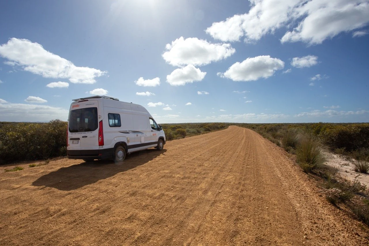
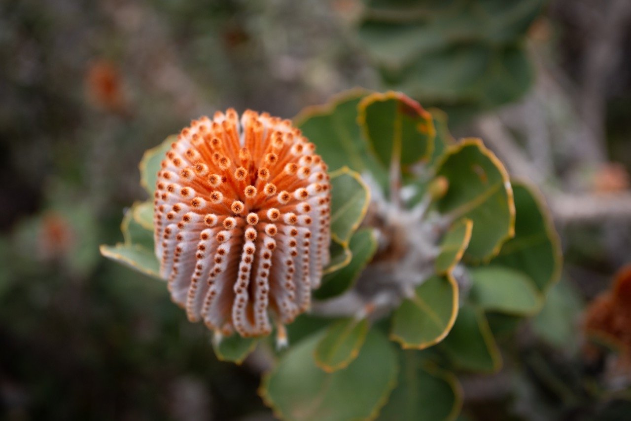
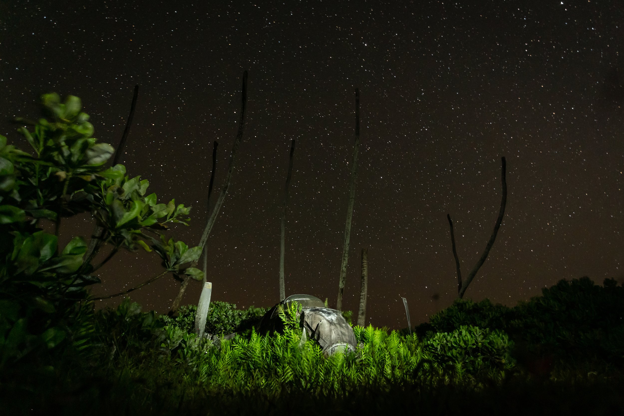
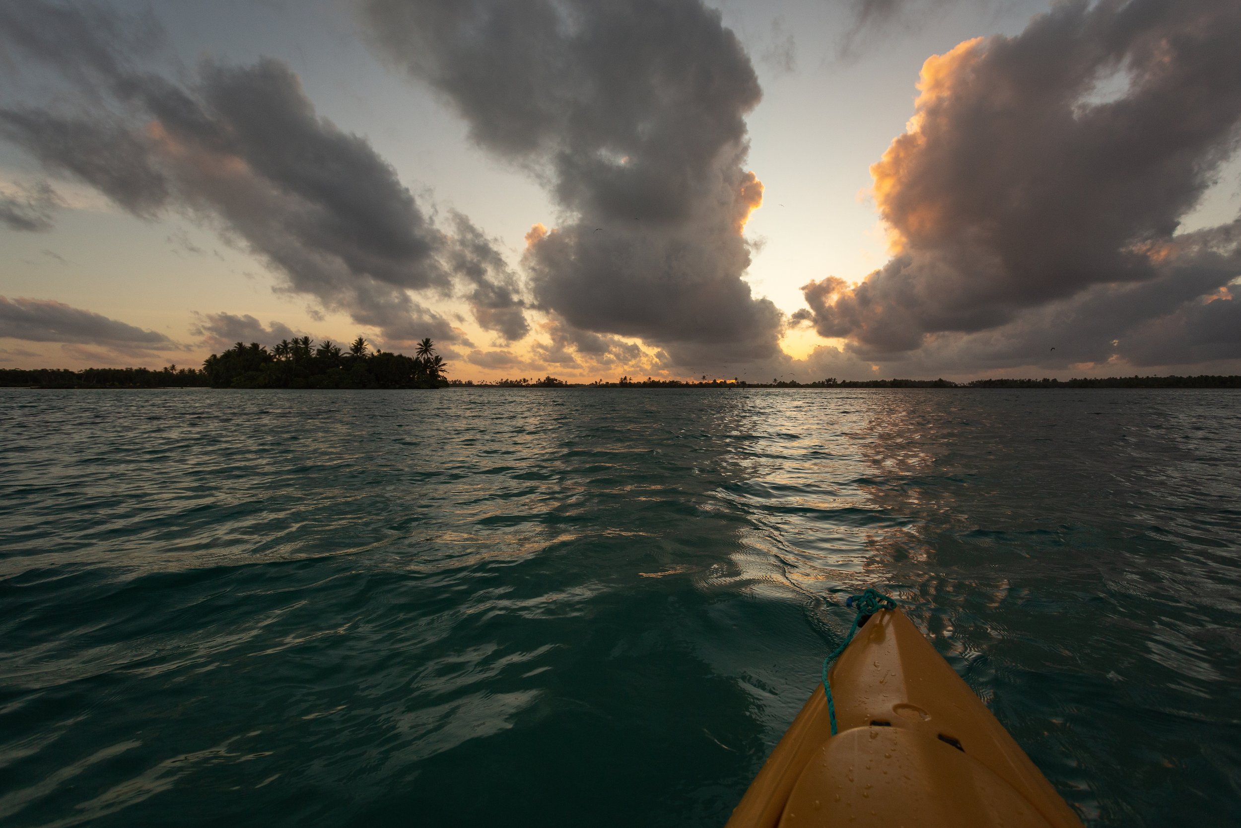
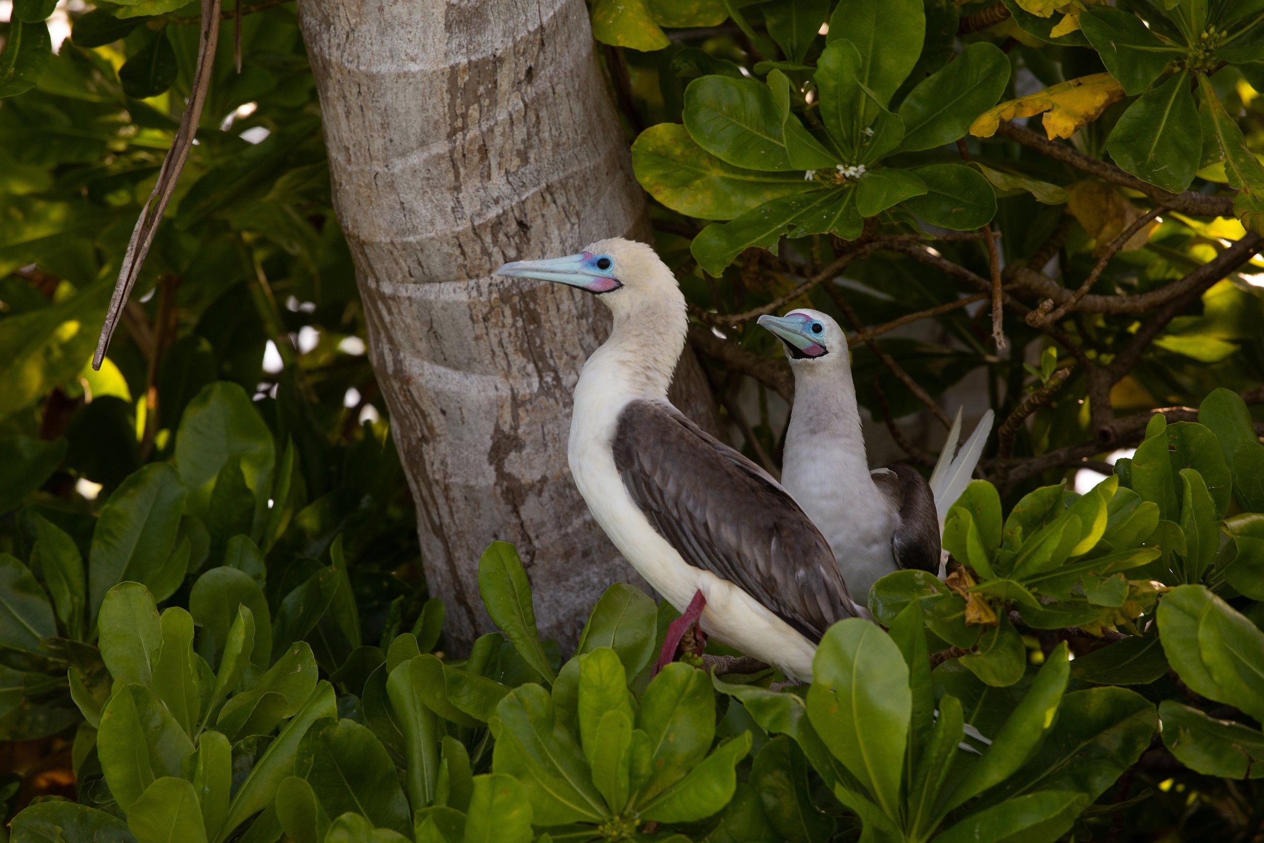
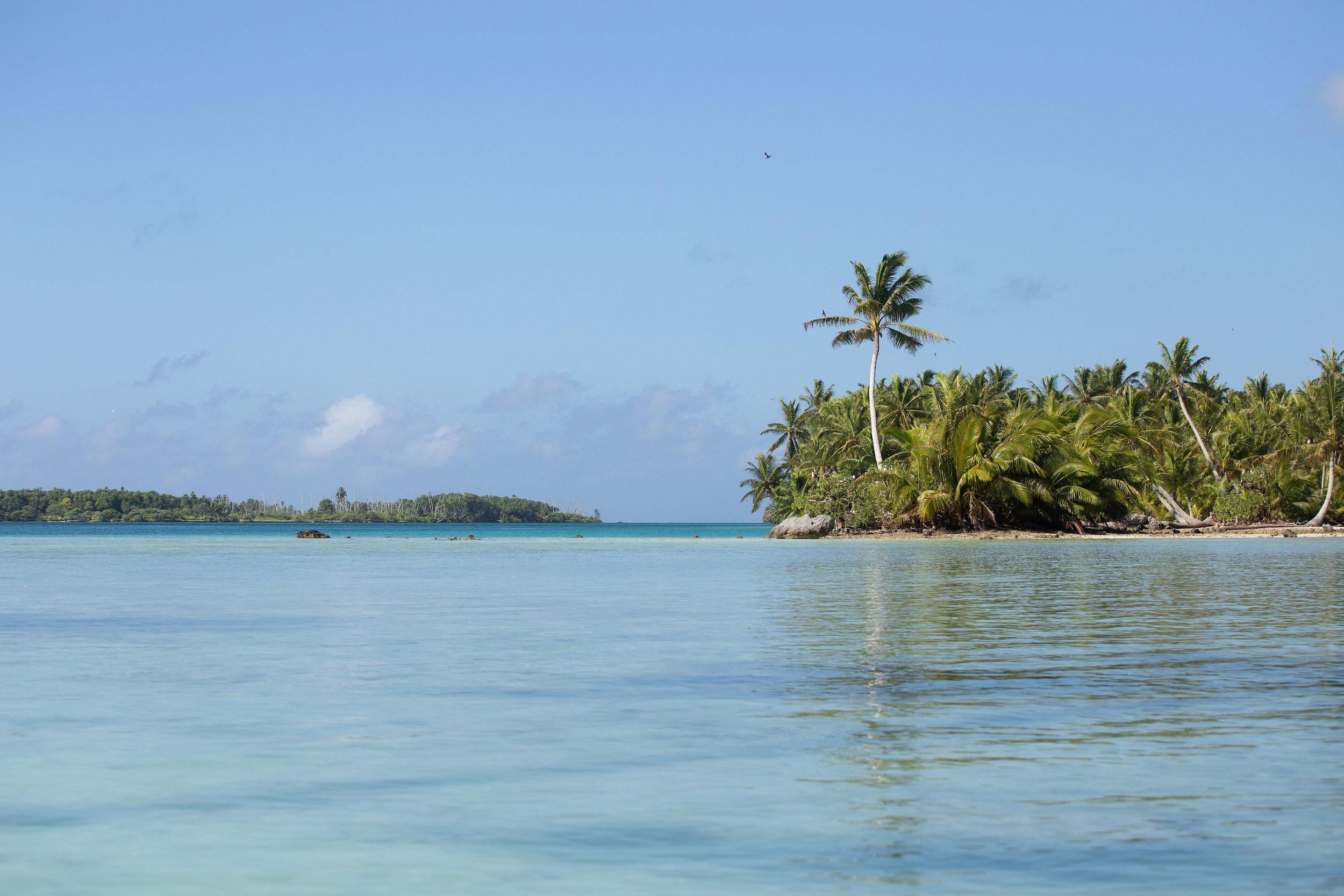
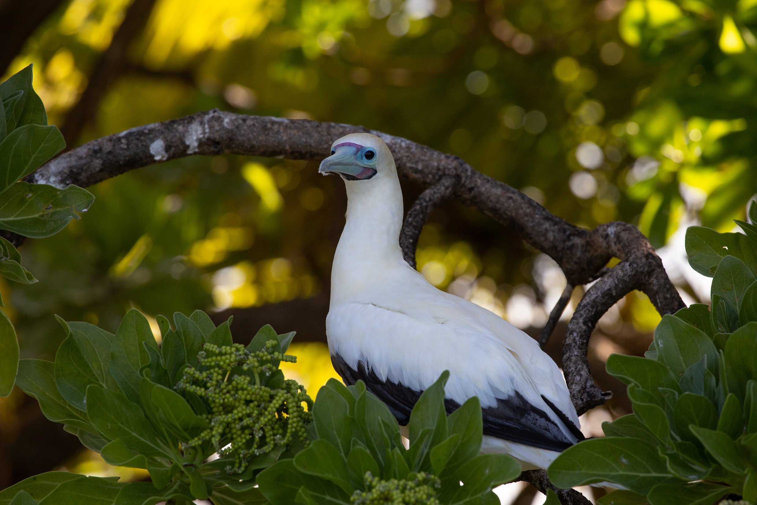
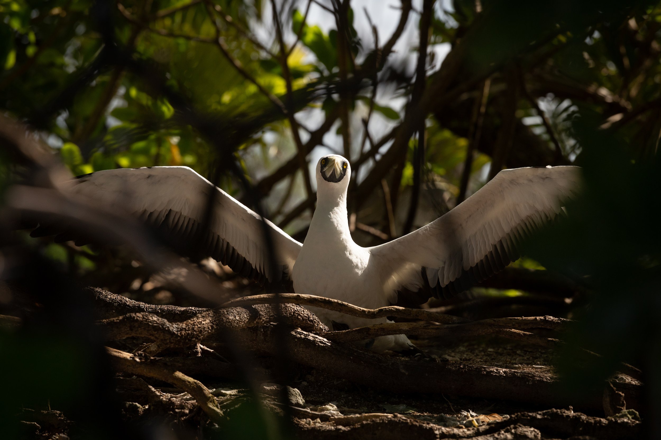
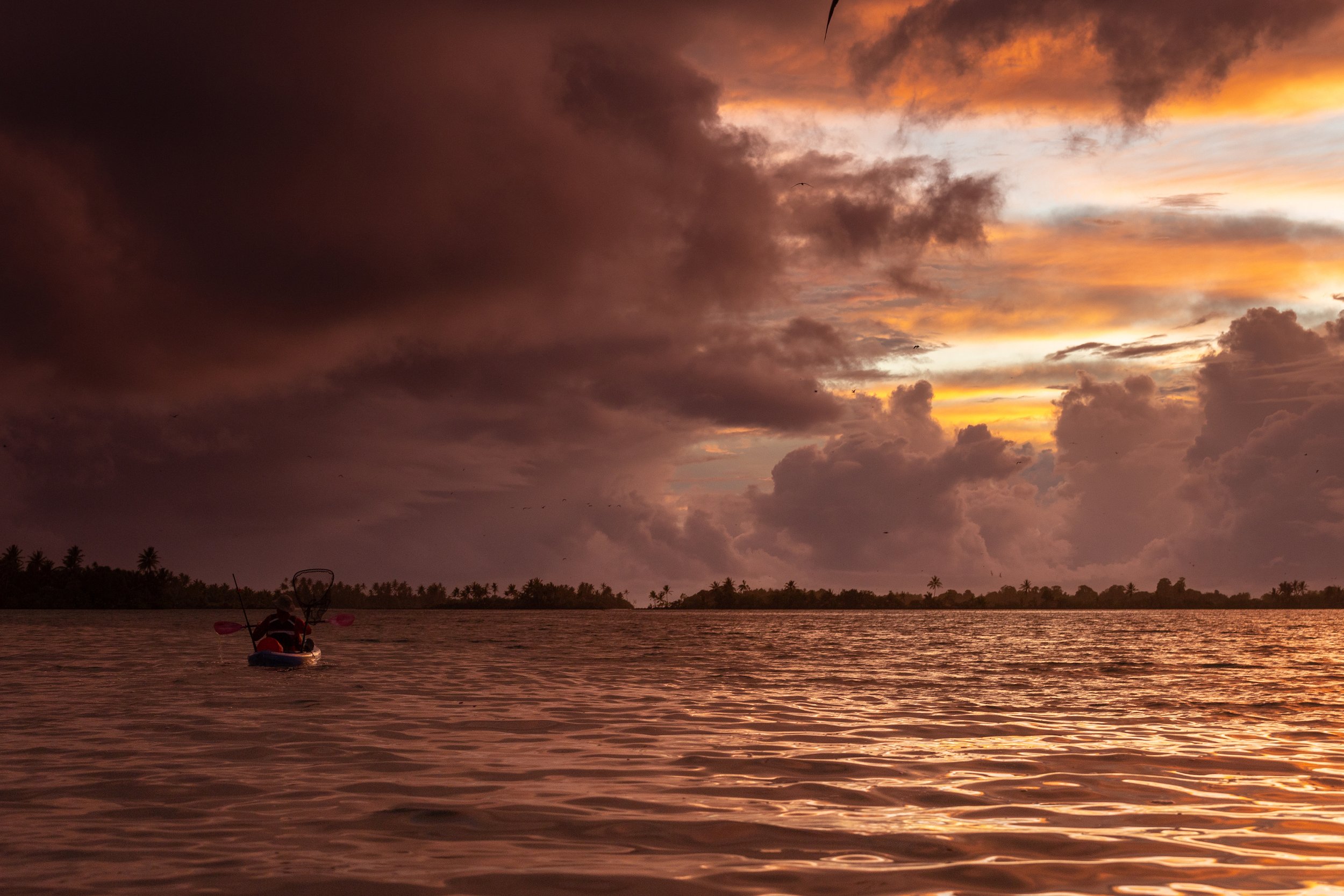
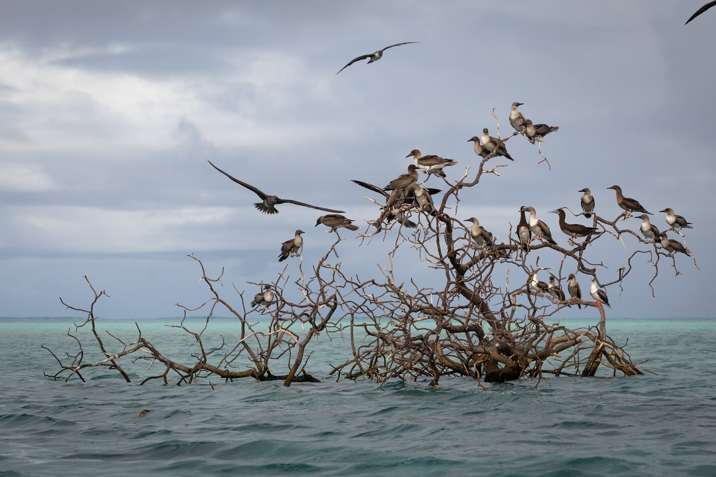
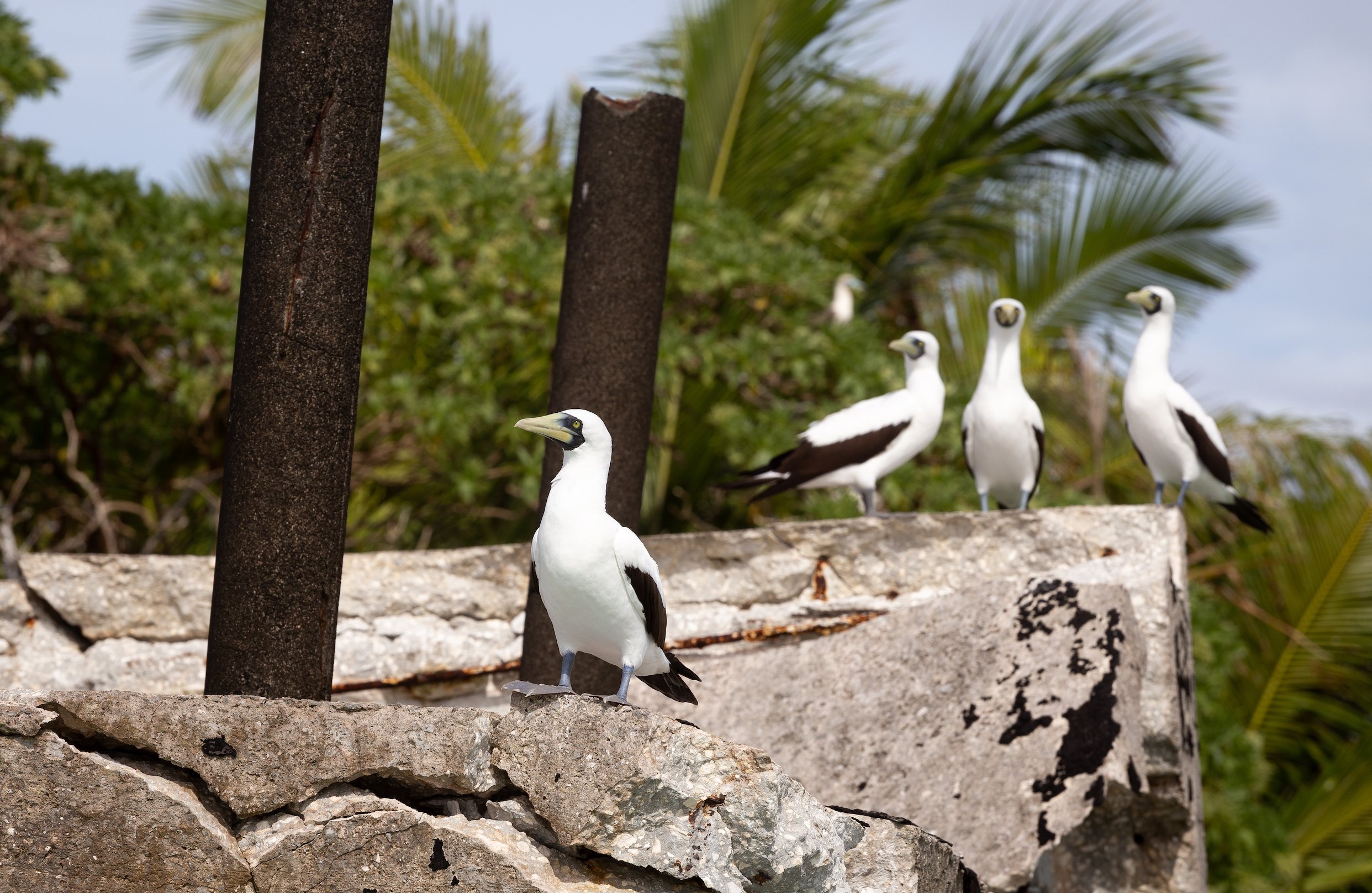
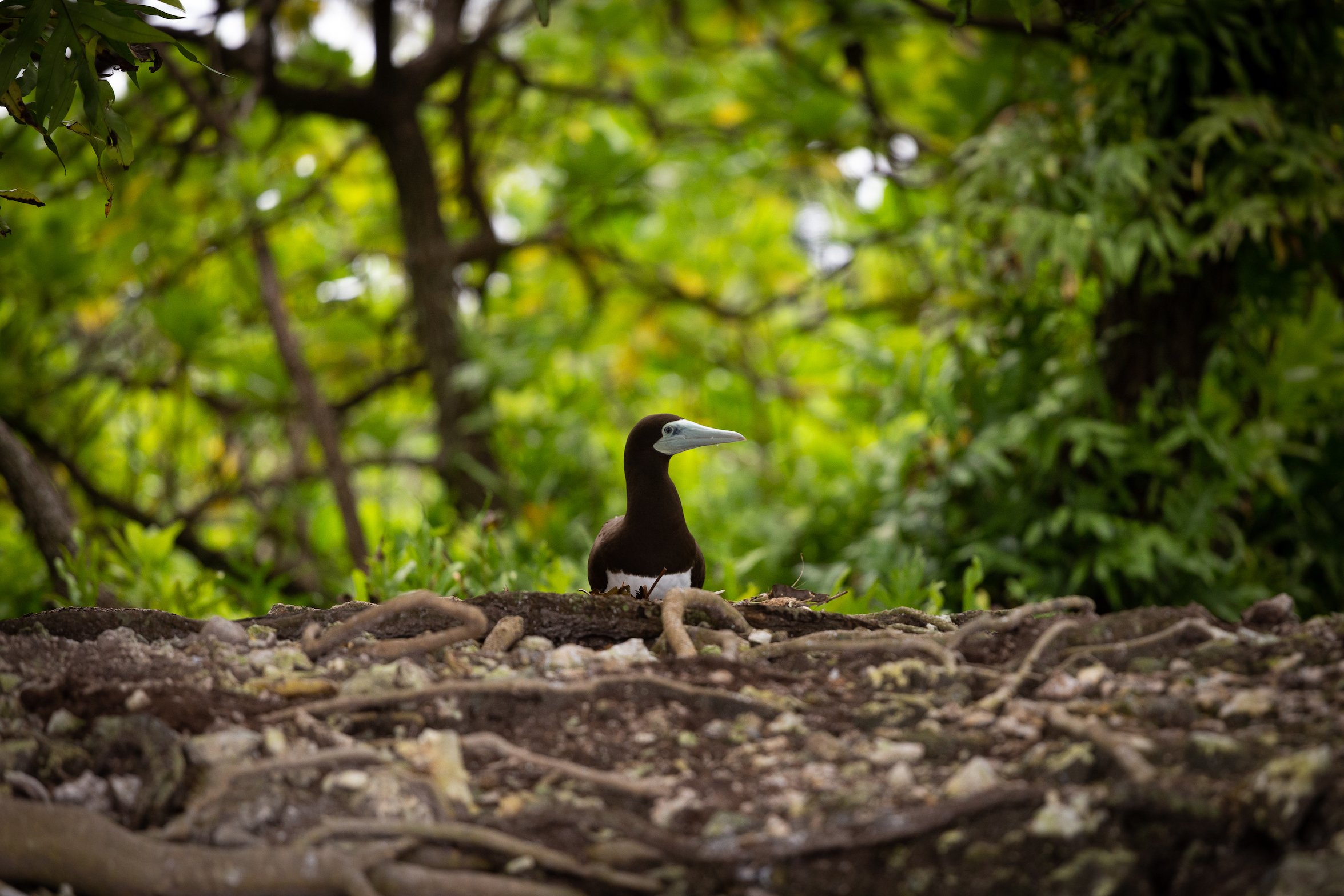
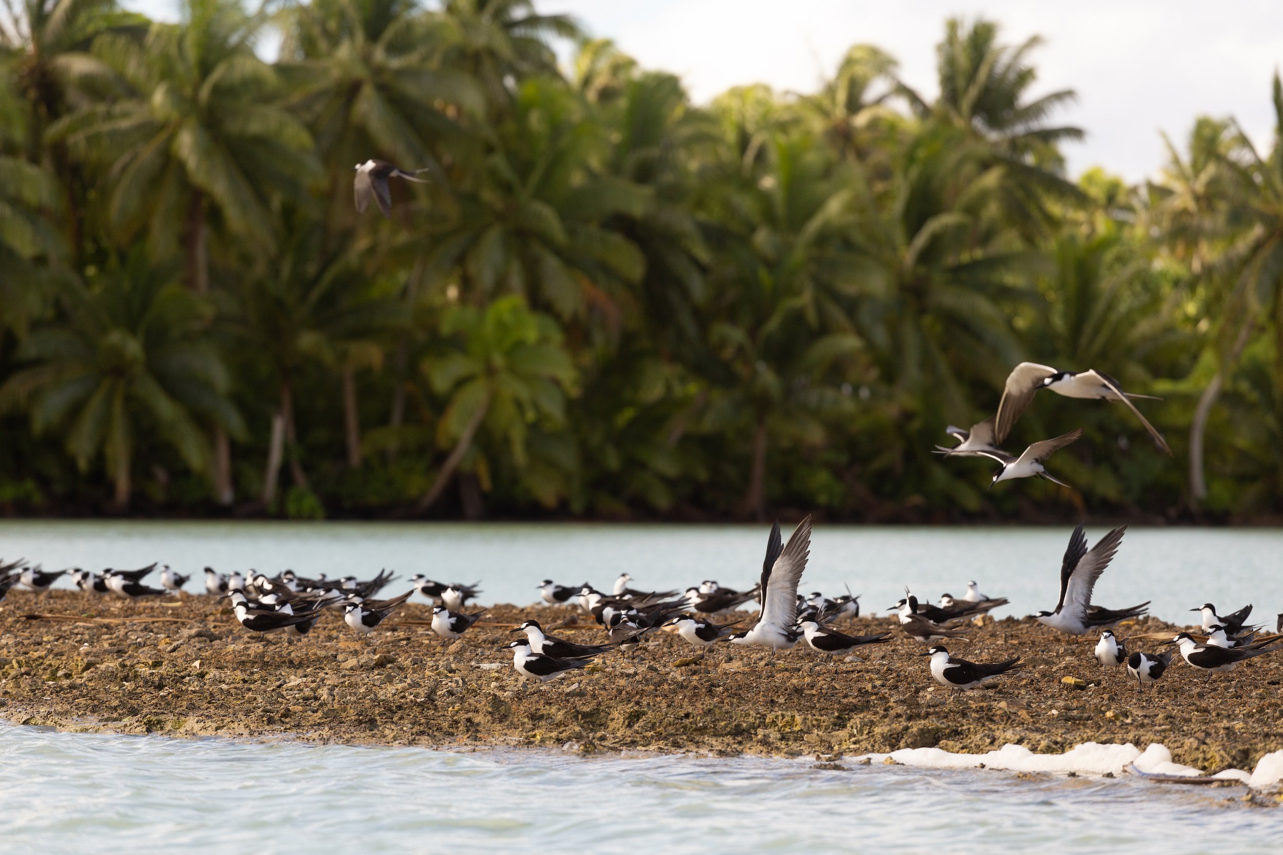
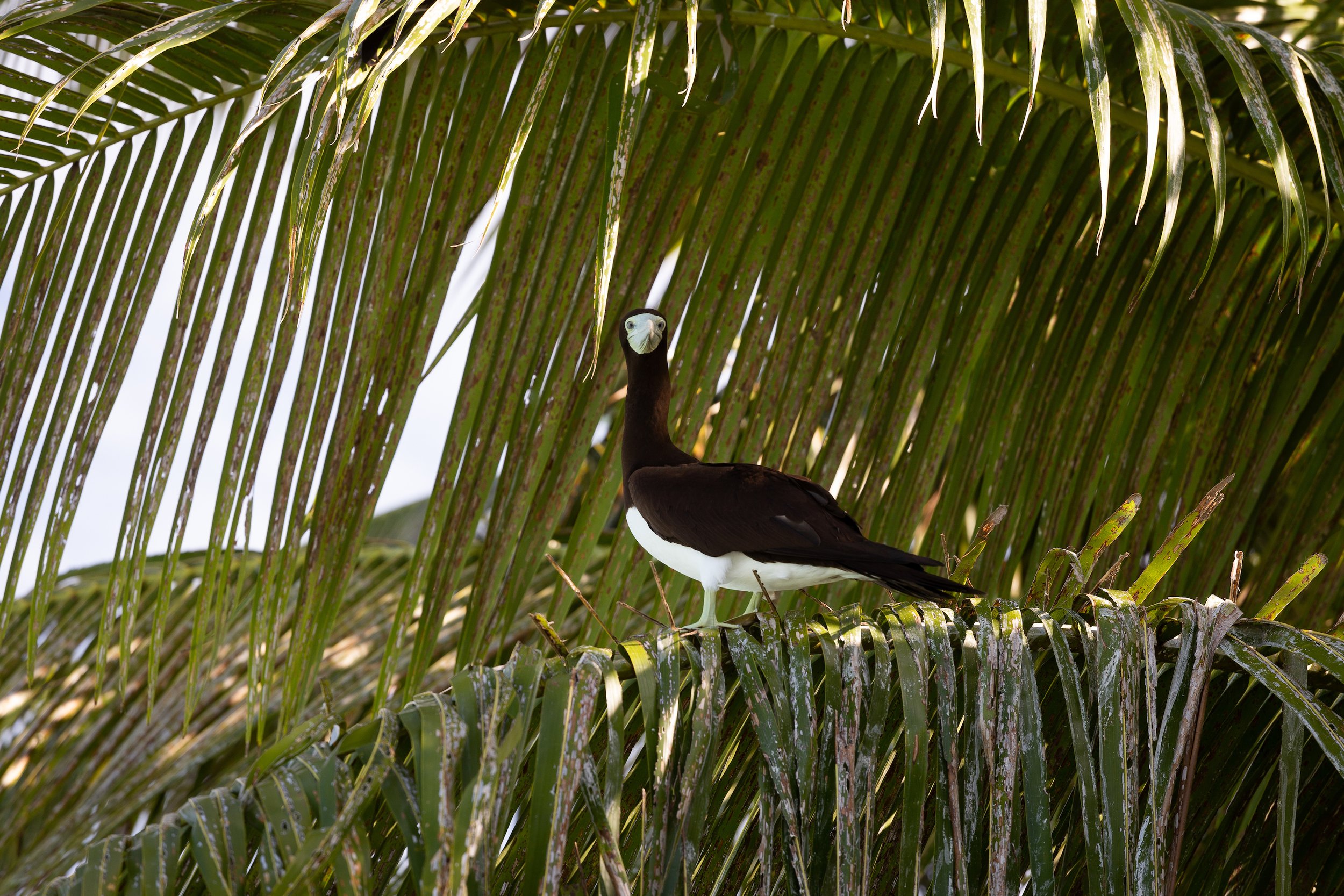
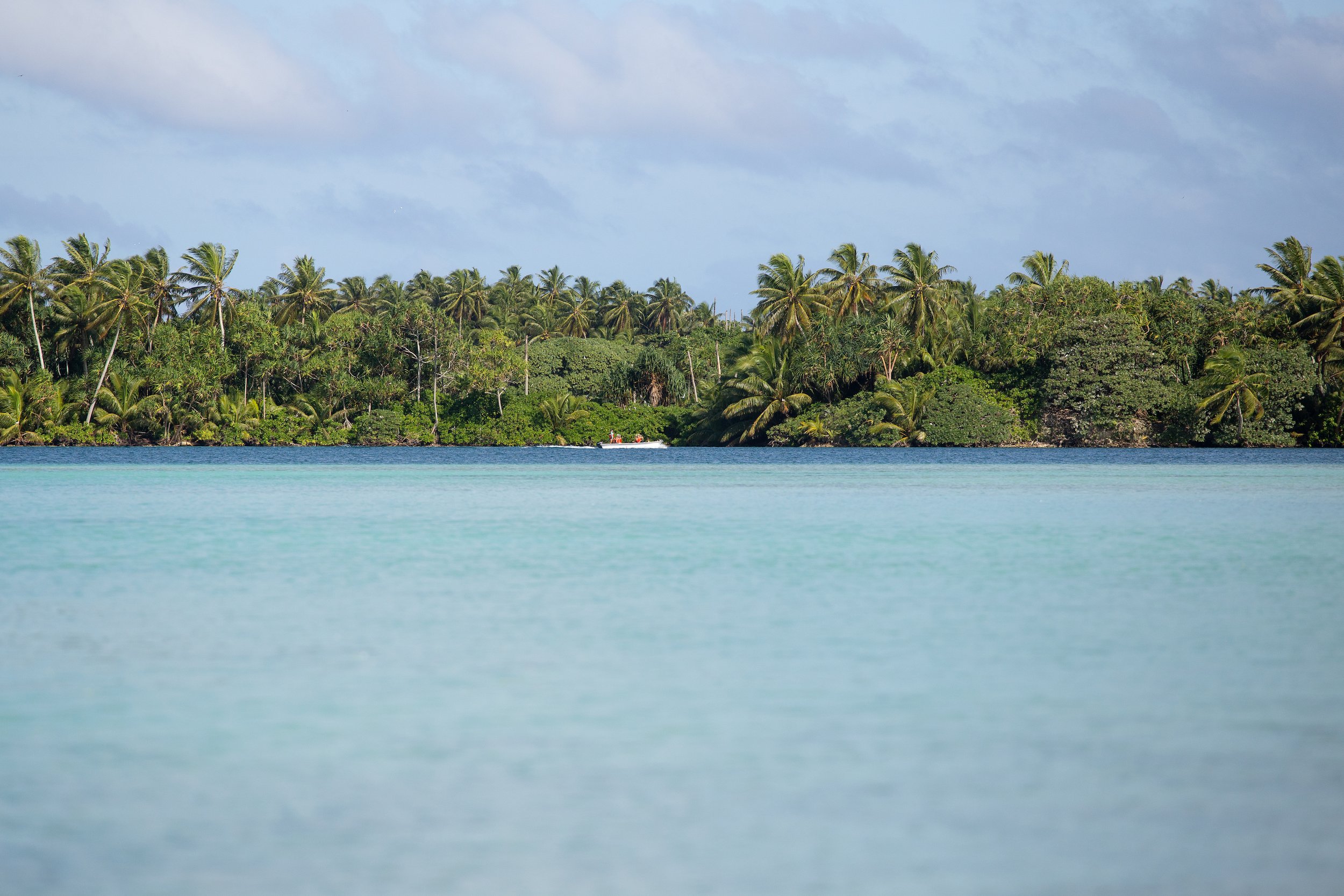
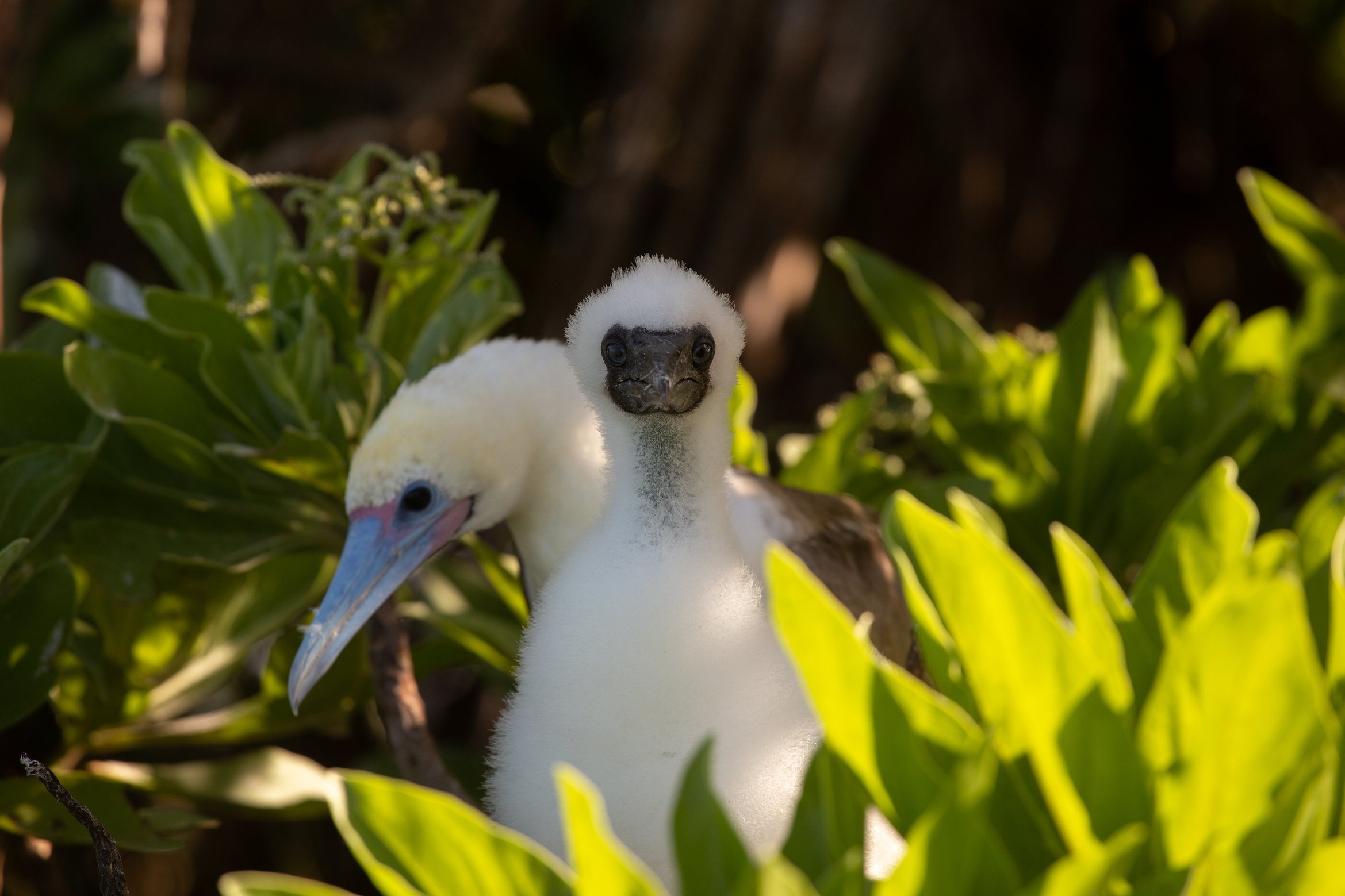
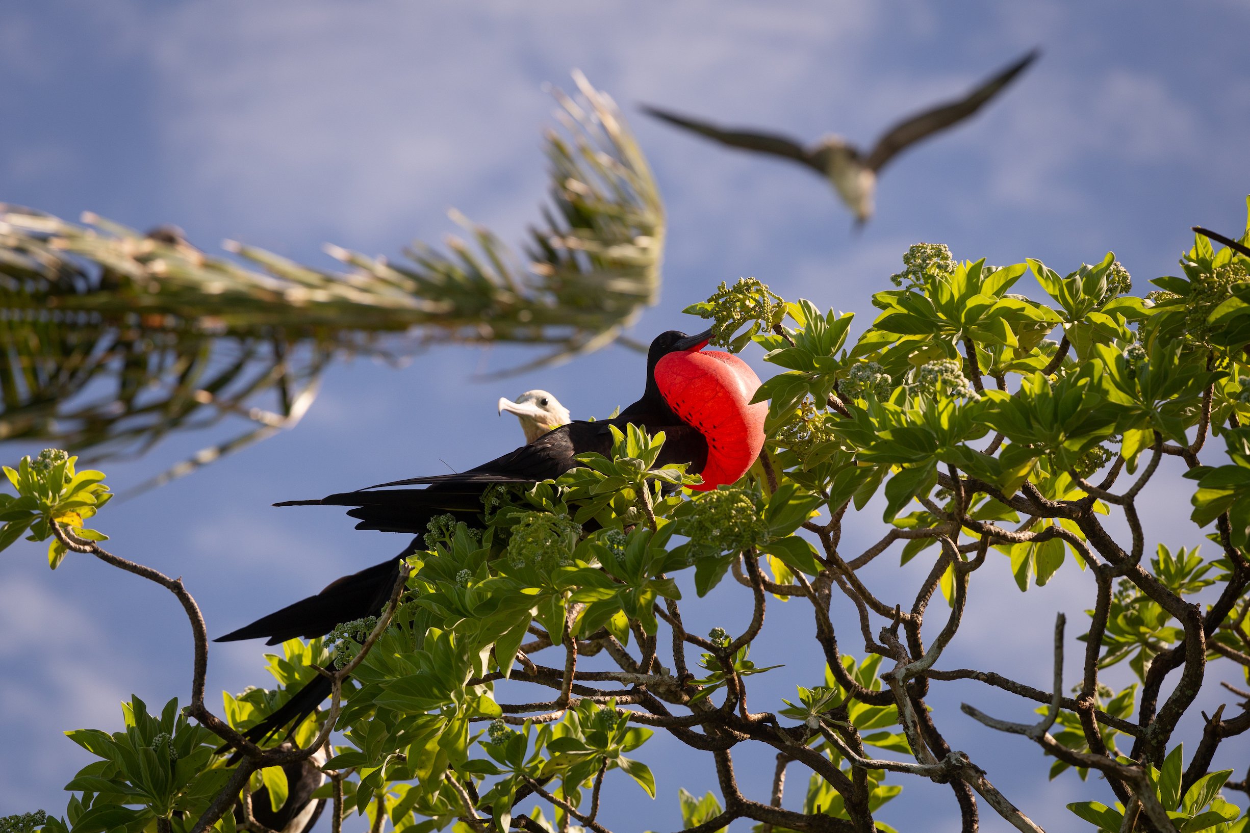
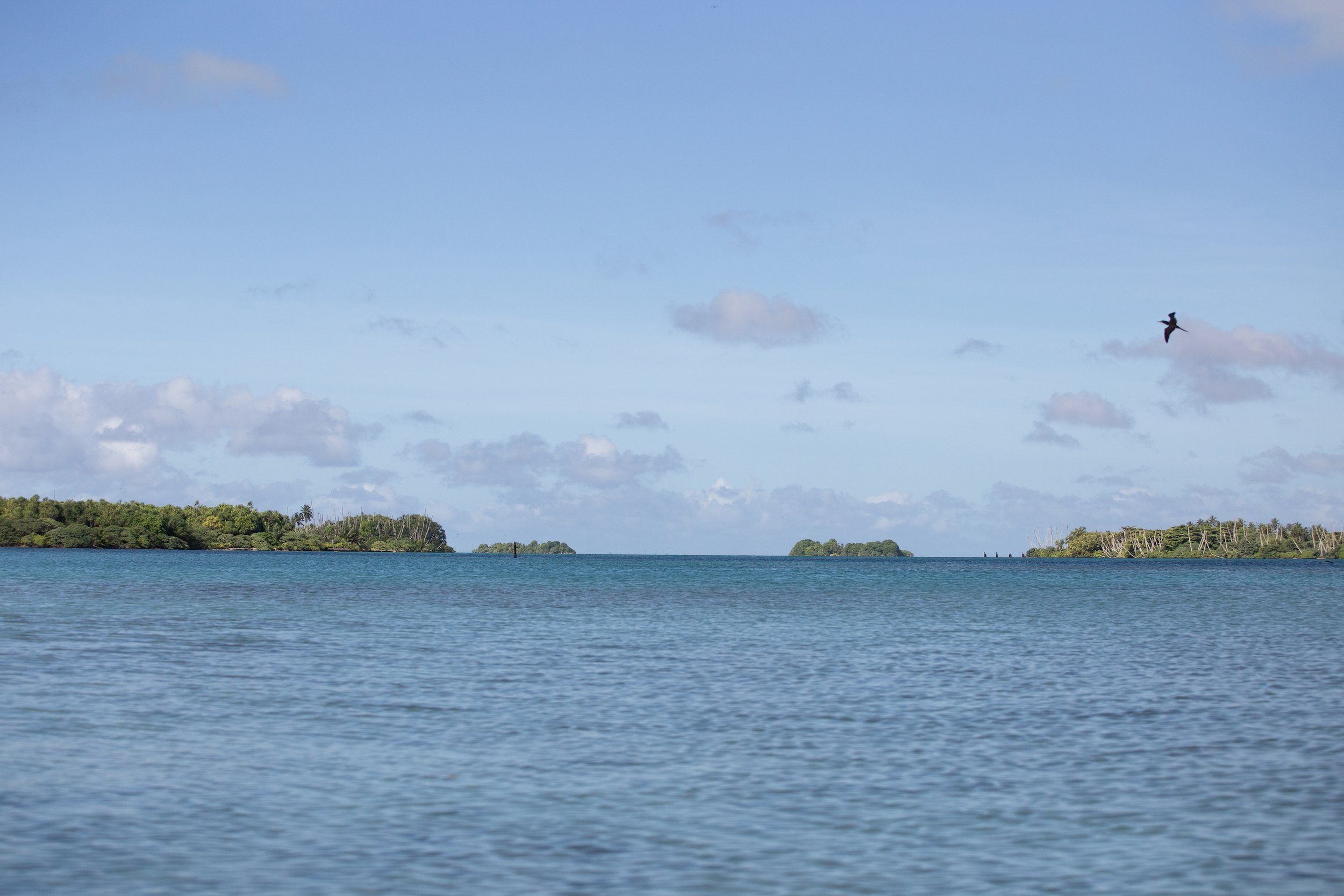
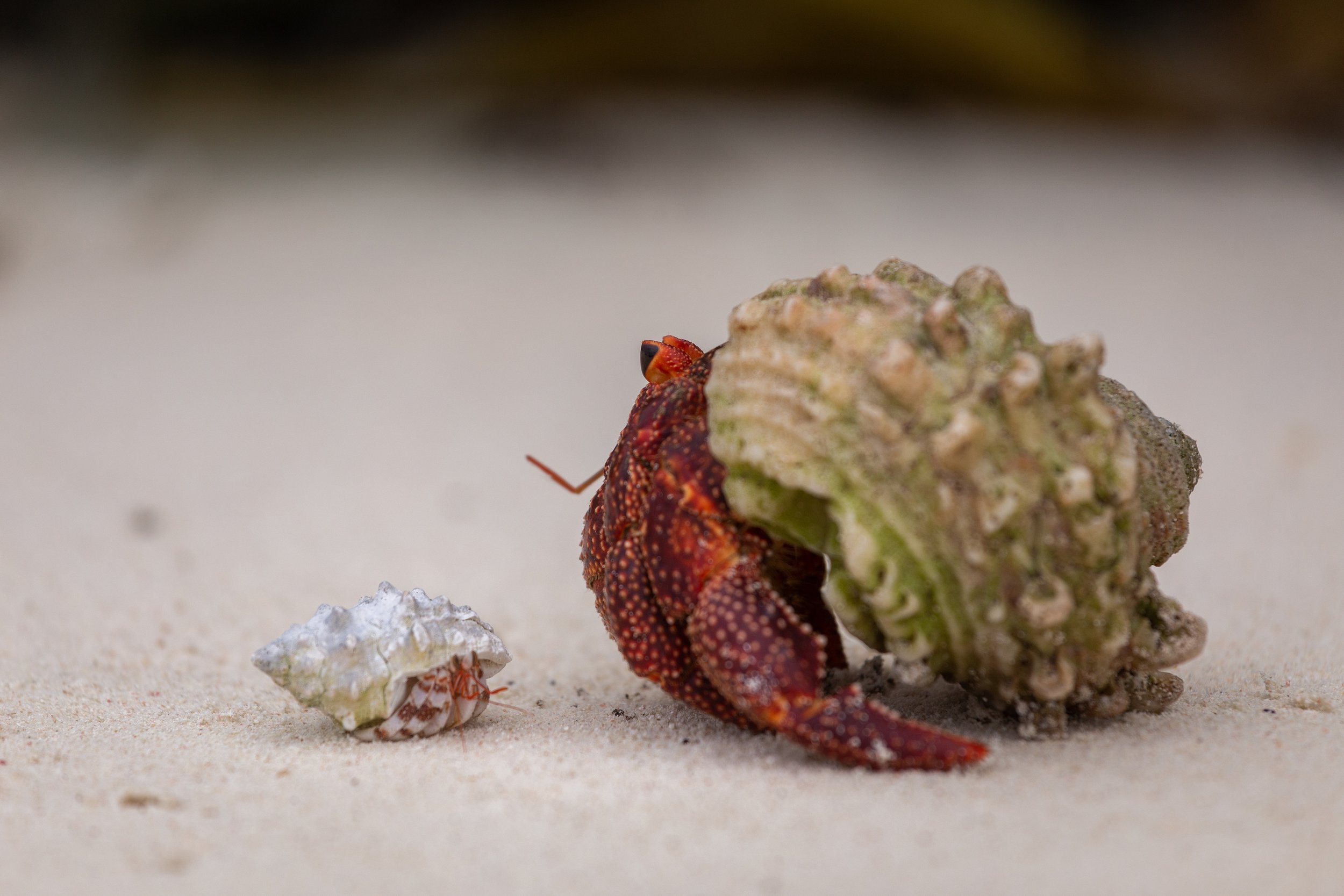
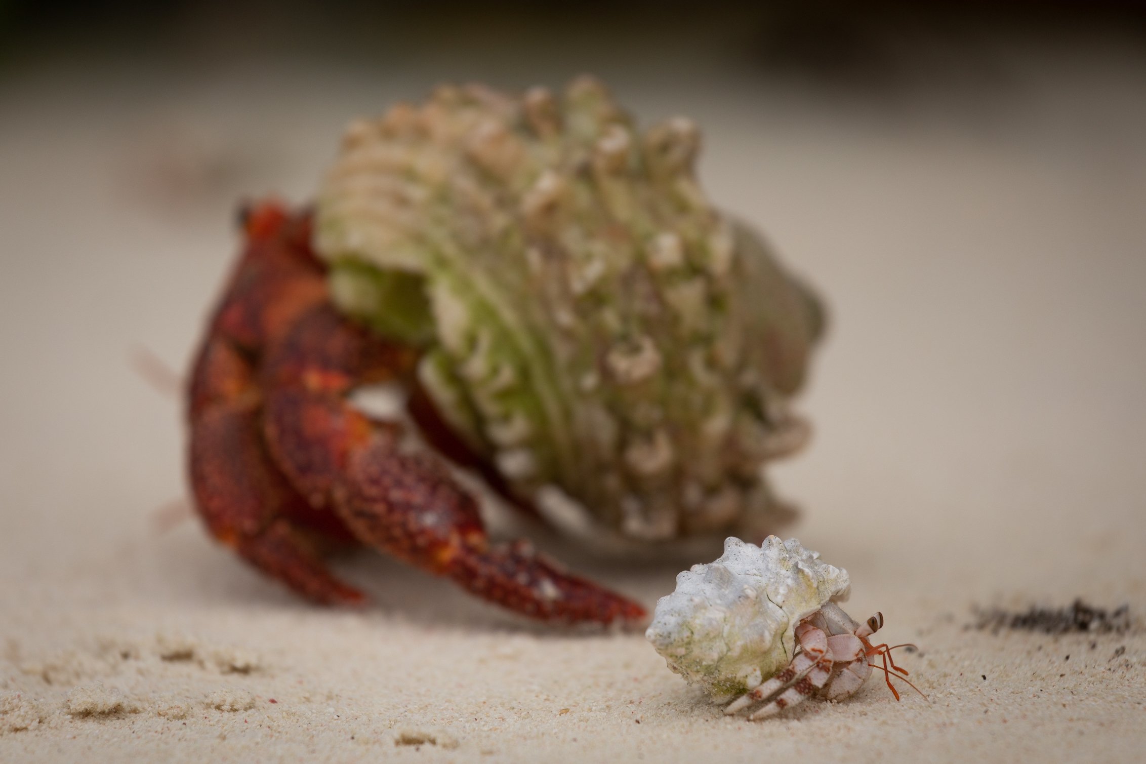
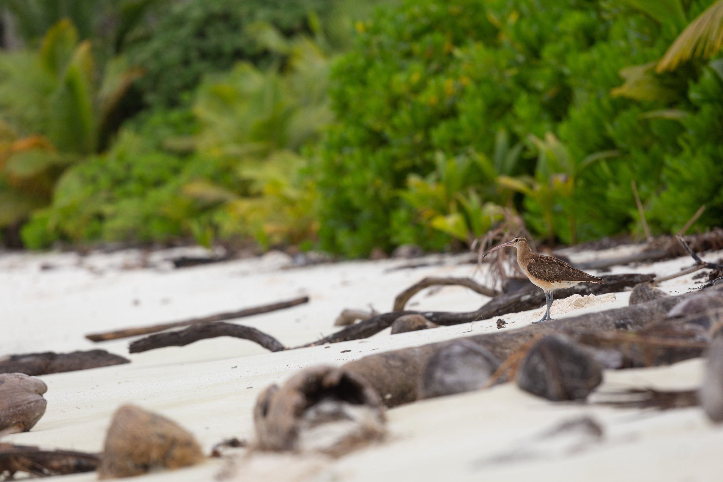
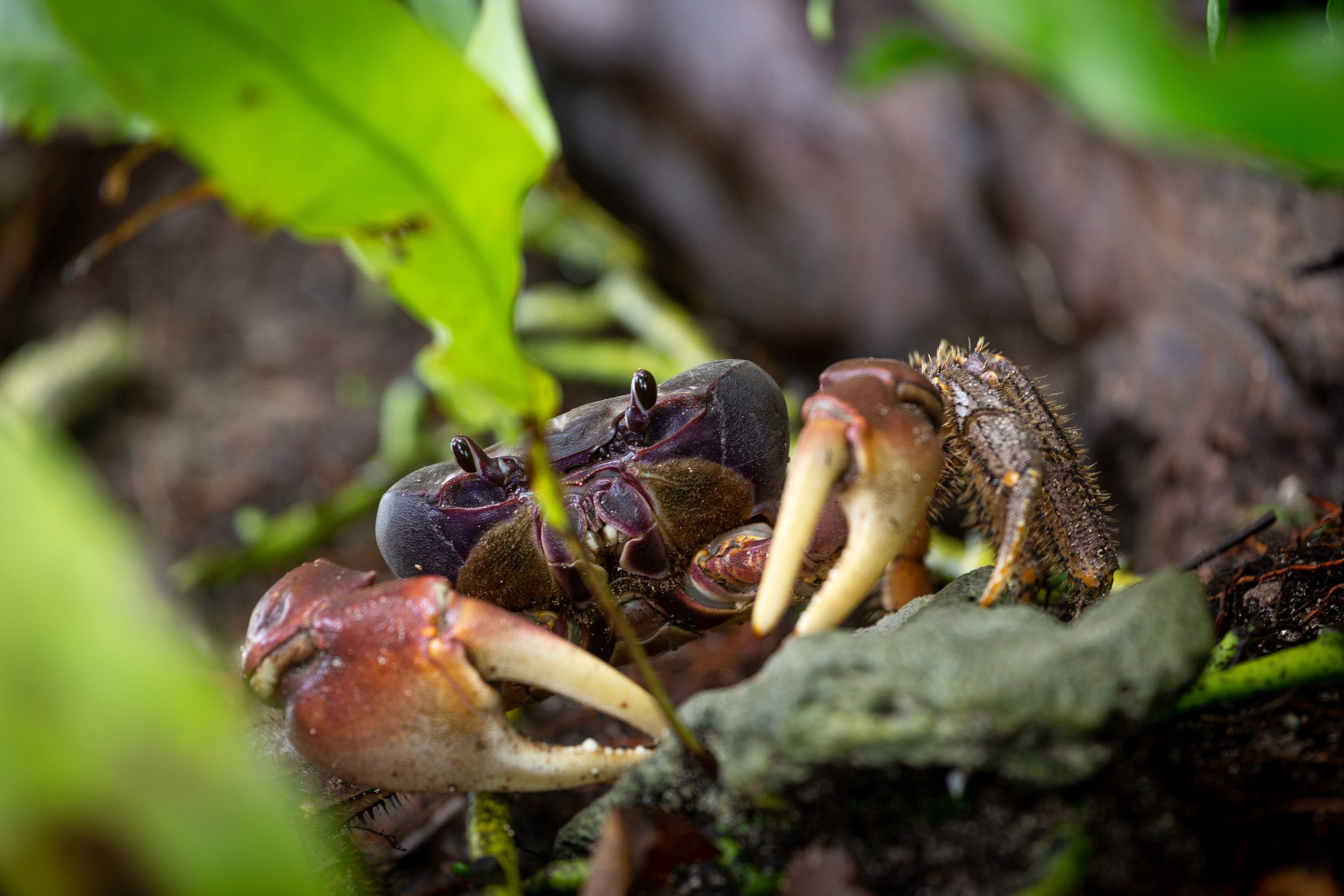
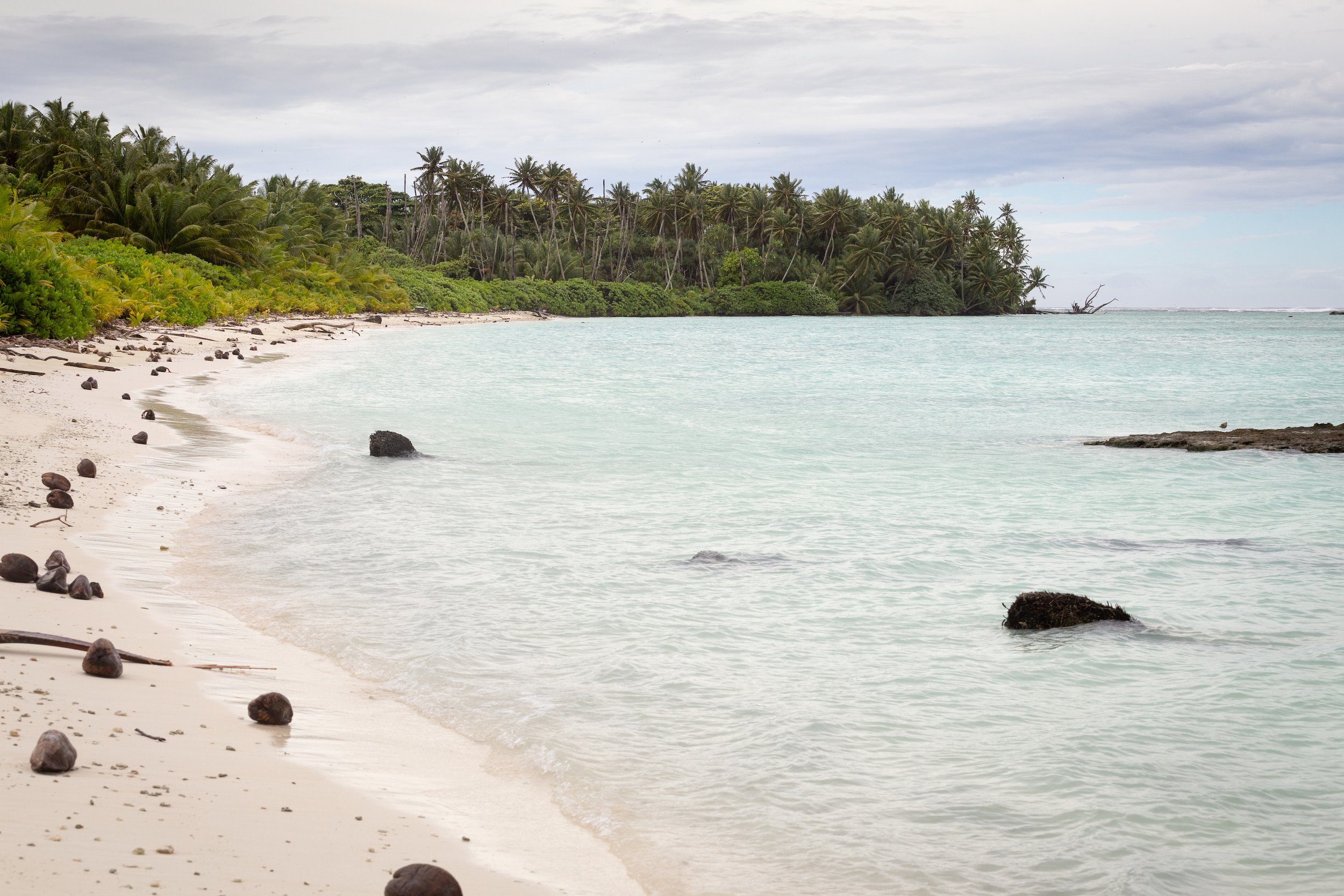
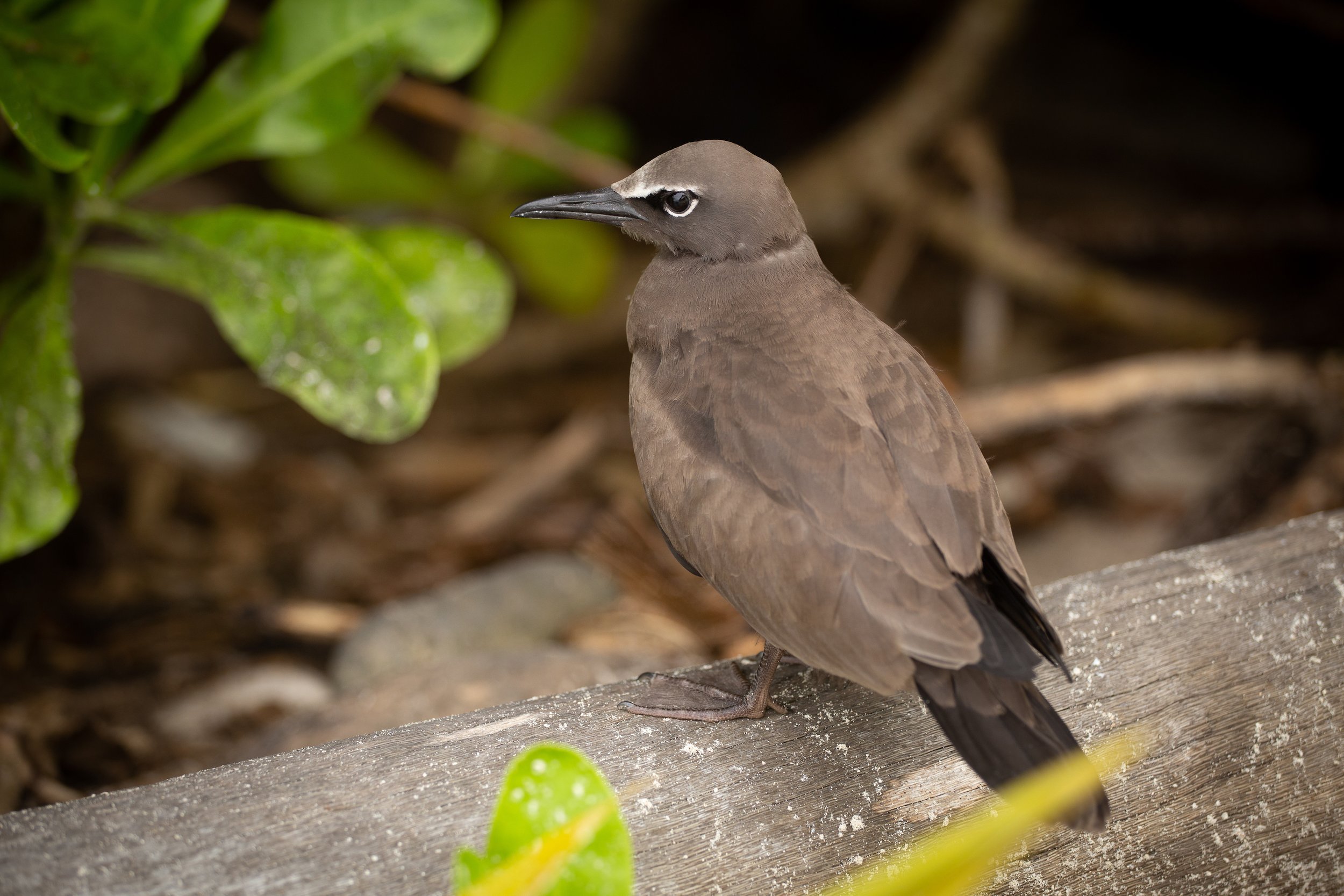
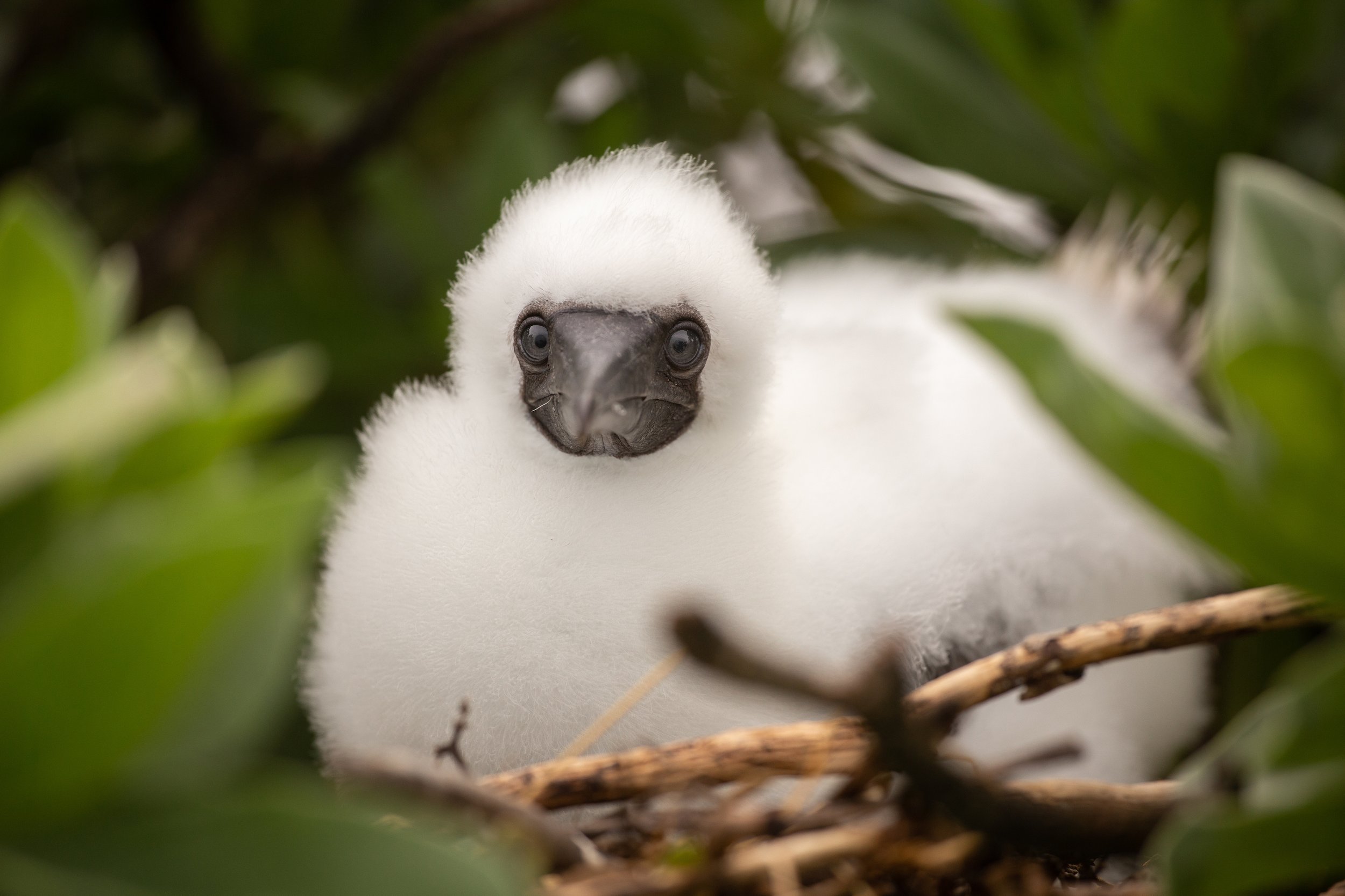
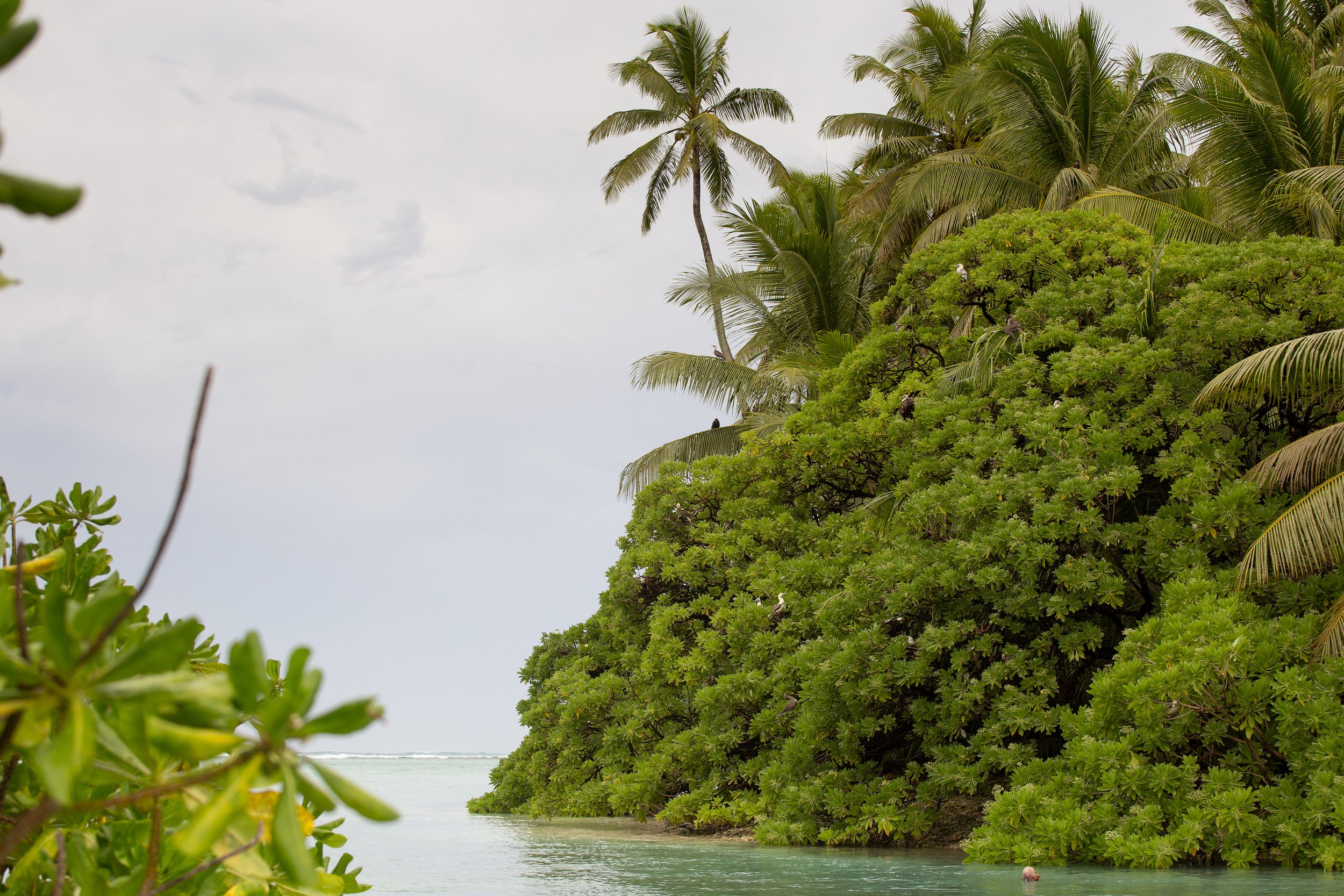
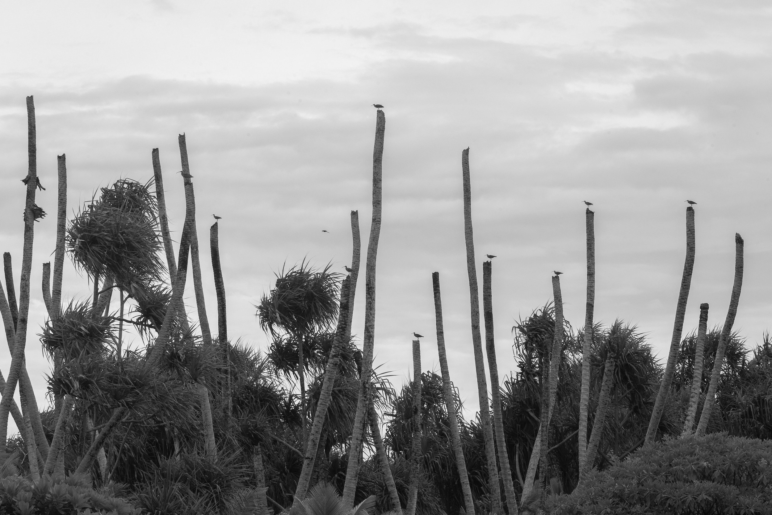
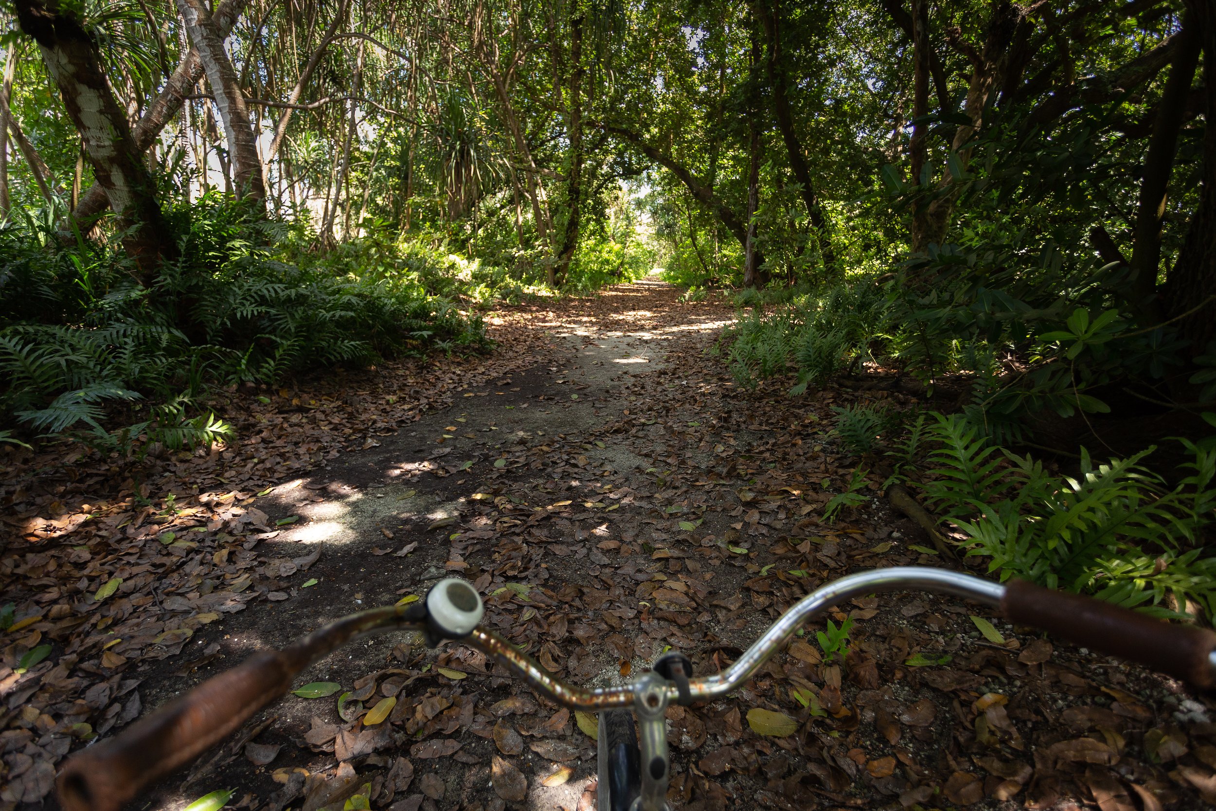
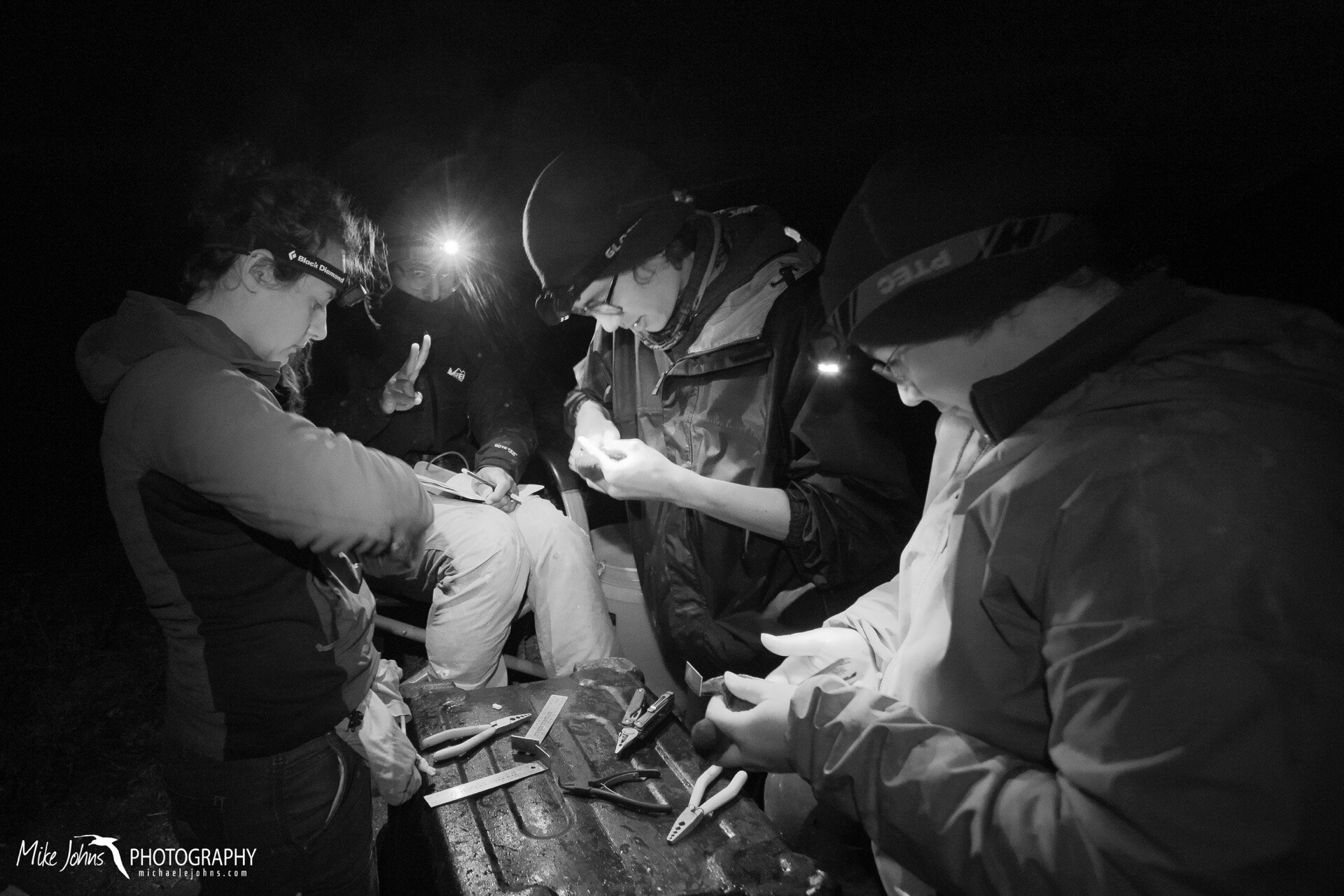
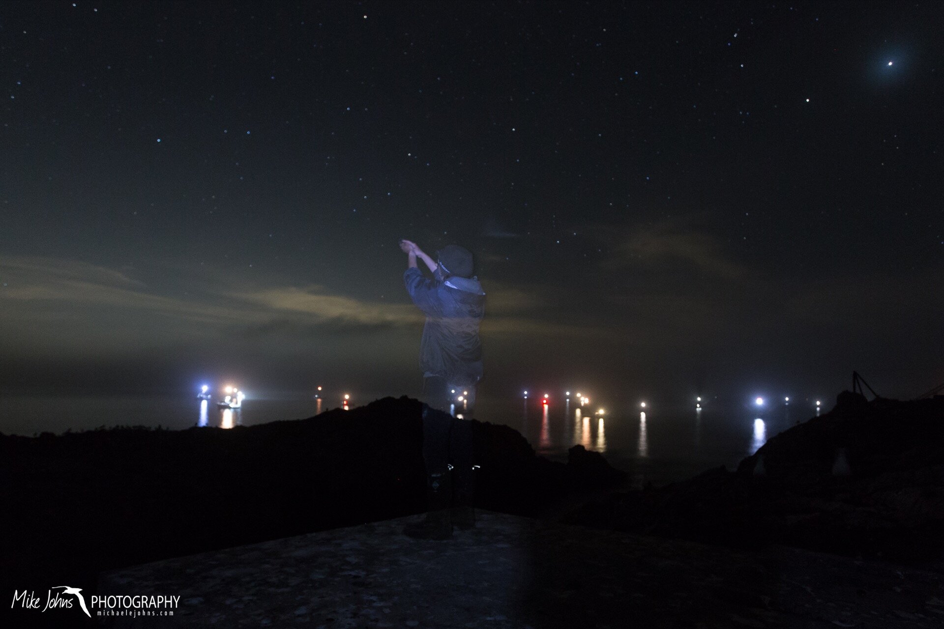
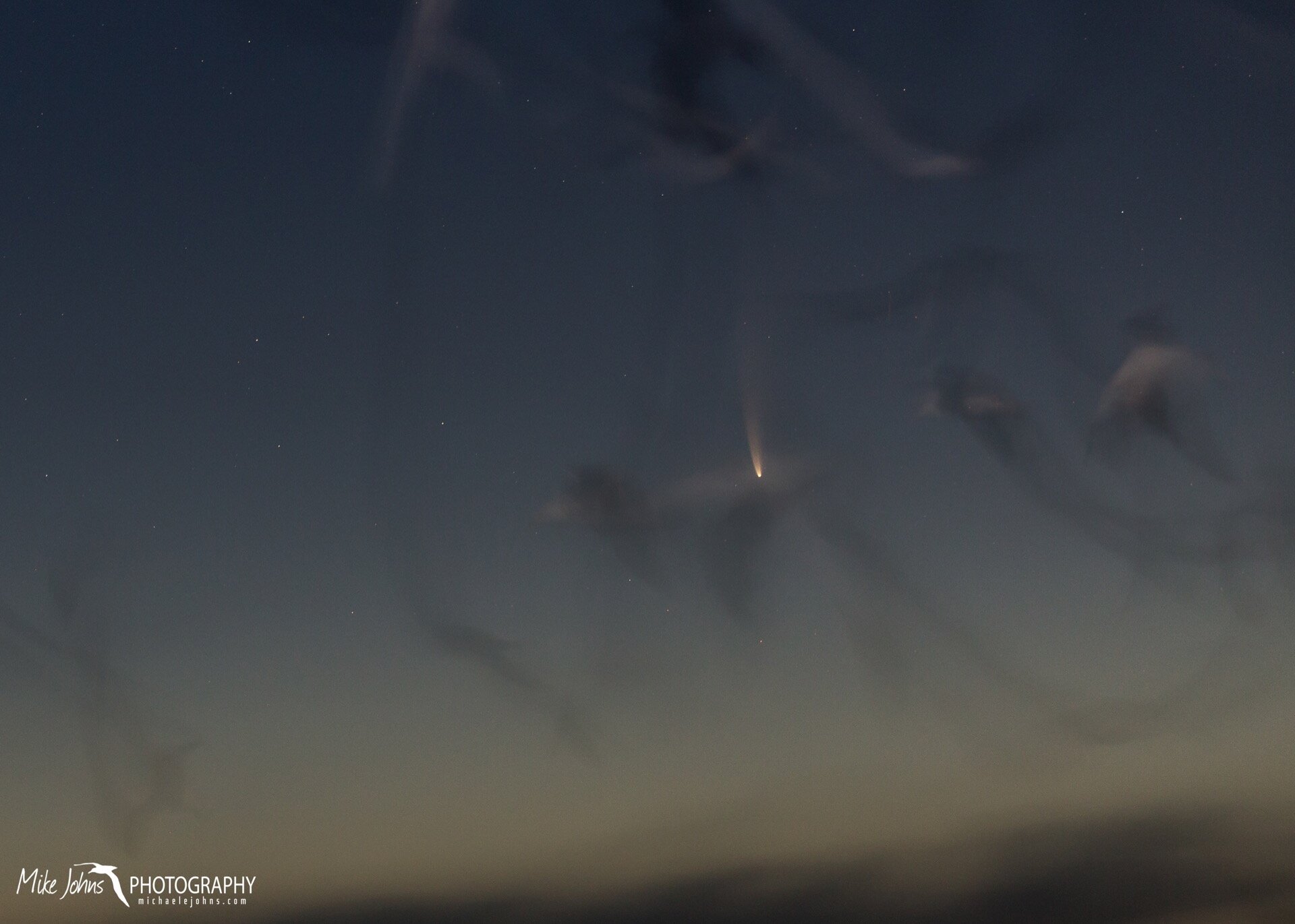
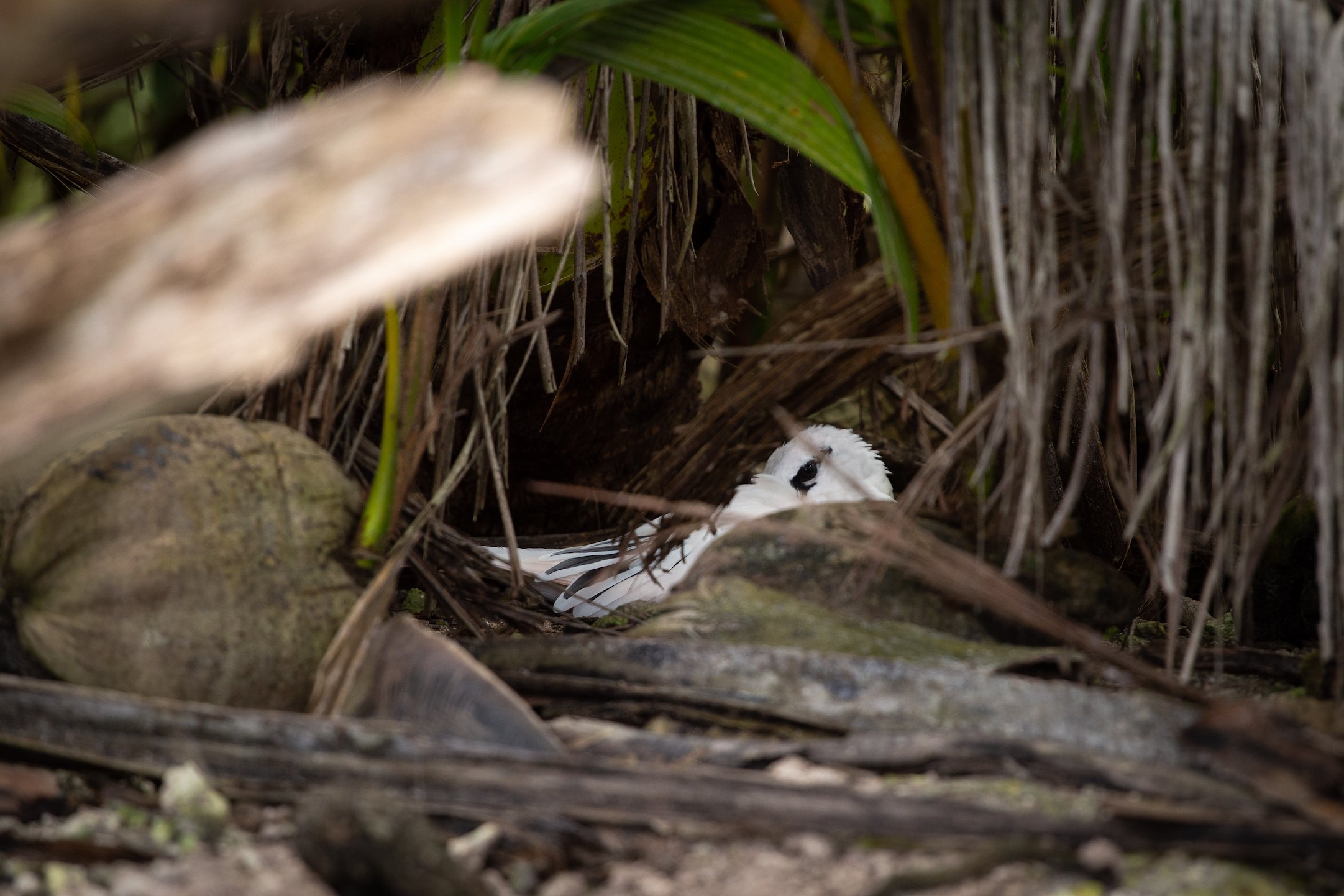
I’ve recently returned from a month on Palmyra Atoll, a collection of small islands rimmed by an extensive reef system located basically at the geographic center of the Pacific Ocean. I was helping capture red-footed and masked boobies for a movement study, where we attached small devices for short 2-day periods to collect GPS, accelerometer, and video footage while birds were out foraging at sea. Writer’s block continues, so here are some photos I grabbed during my free time to sum up the trip.

Island Debrief by Michael Johns

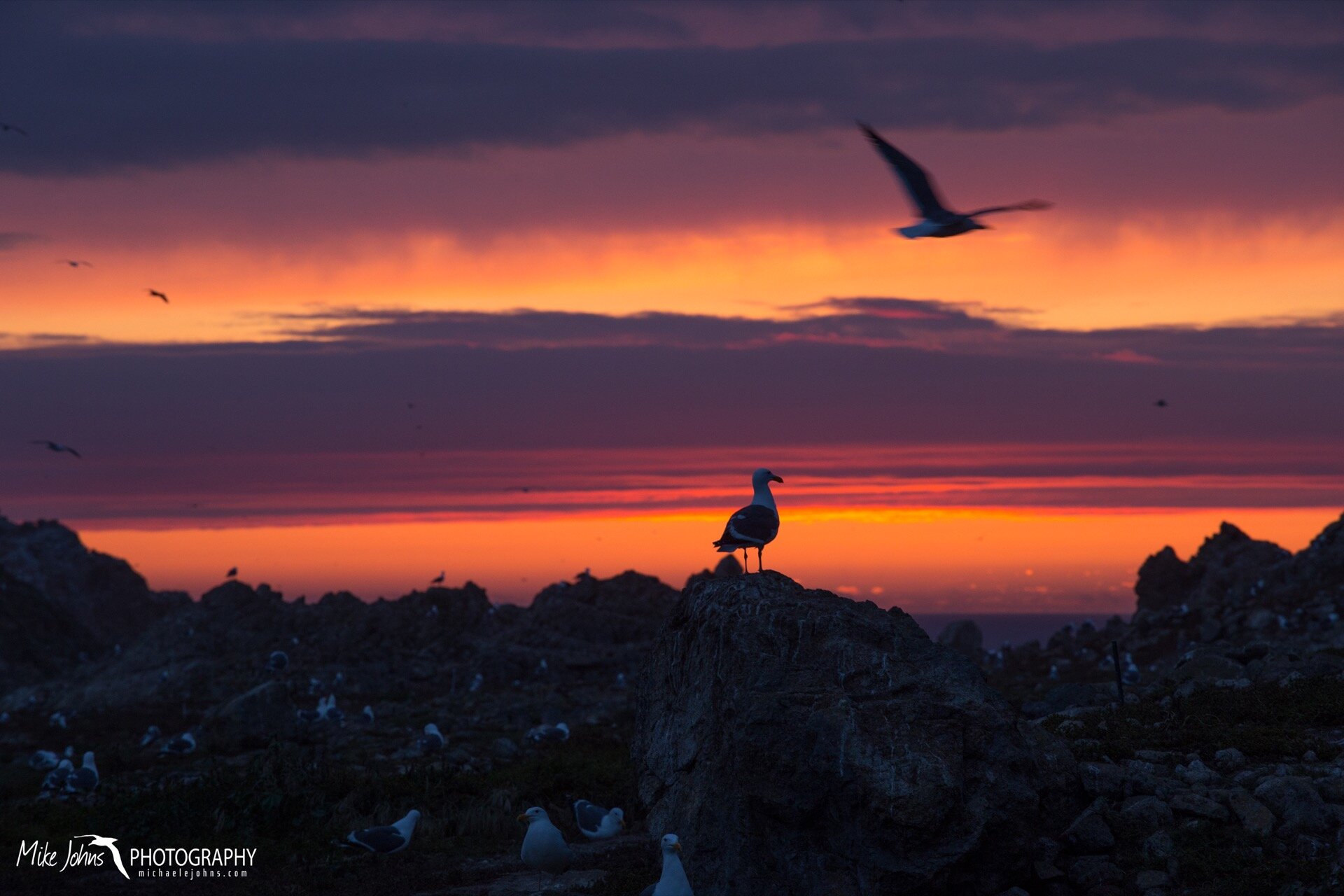
I’ve been back from the birds of Southeast Farallon Island for a little over a month now, and I’m just getting around to digging through some of the photos from this season. This was my 6th year on the island, and every year I seem to take a diminishing number of shots. Still, the following series sums up the season pretty well.
Ireland and Spain by Michael Johns

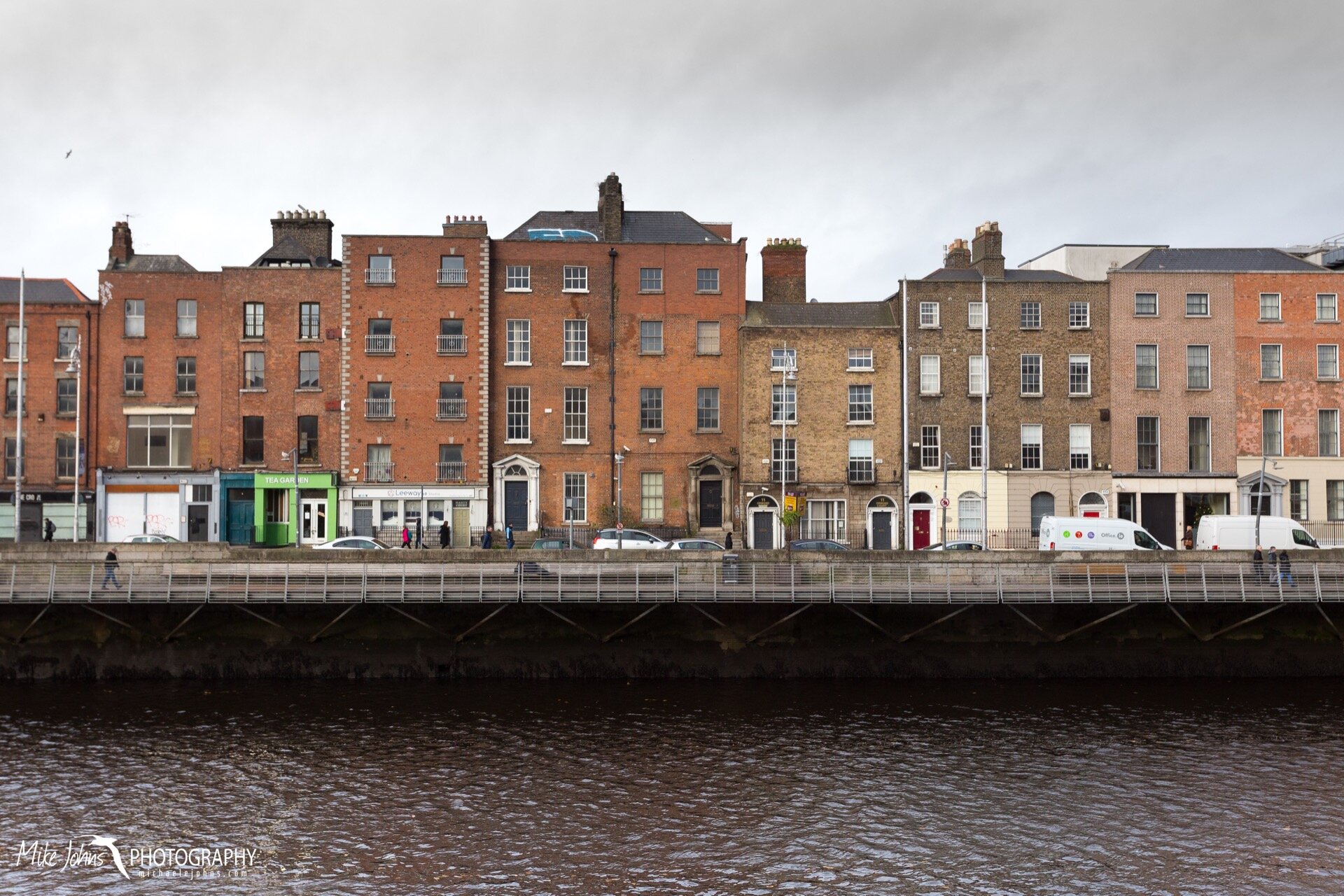
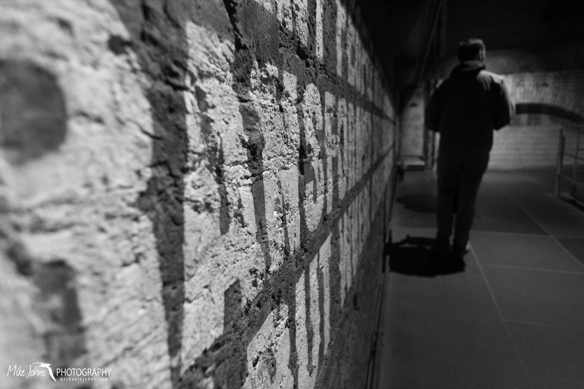
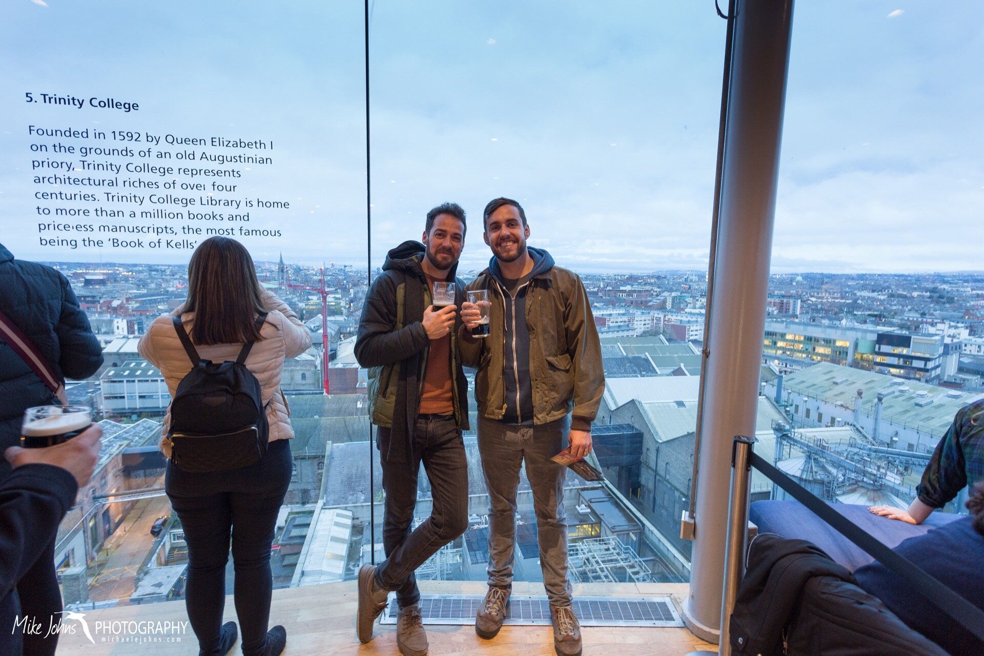
Casey presented some of his work on walrus teeth at the Marine Mammal Conference in Spain this year, so as usual I played the traveling spouse. We booked our flight with Aer Lingus, an Irish airline, and decided to schedule an extended 4-day layover in Dublin to tour the city and catch up with a few old friends. Dublin was packed with holiday shoppers, and bars were overflowing with a mix of locals and tourists nearly every night we were there. Still, we braved the crowds and took in the sights, which included a pint at the Guinness Storehouse and lively traditional Irish music at the famous Temple Bar.

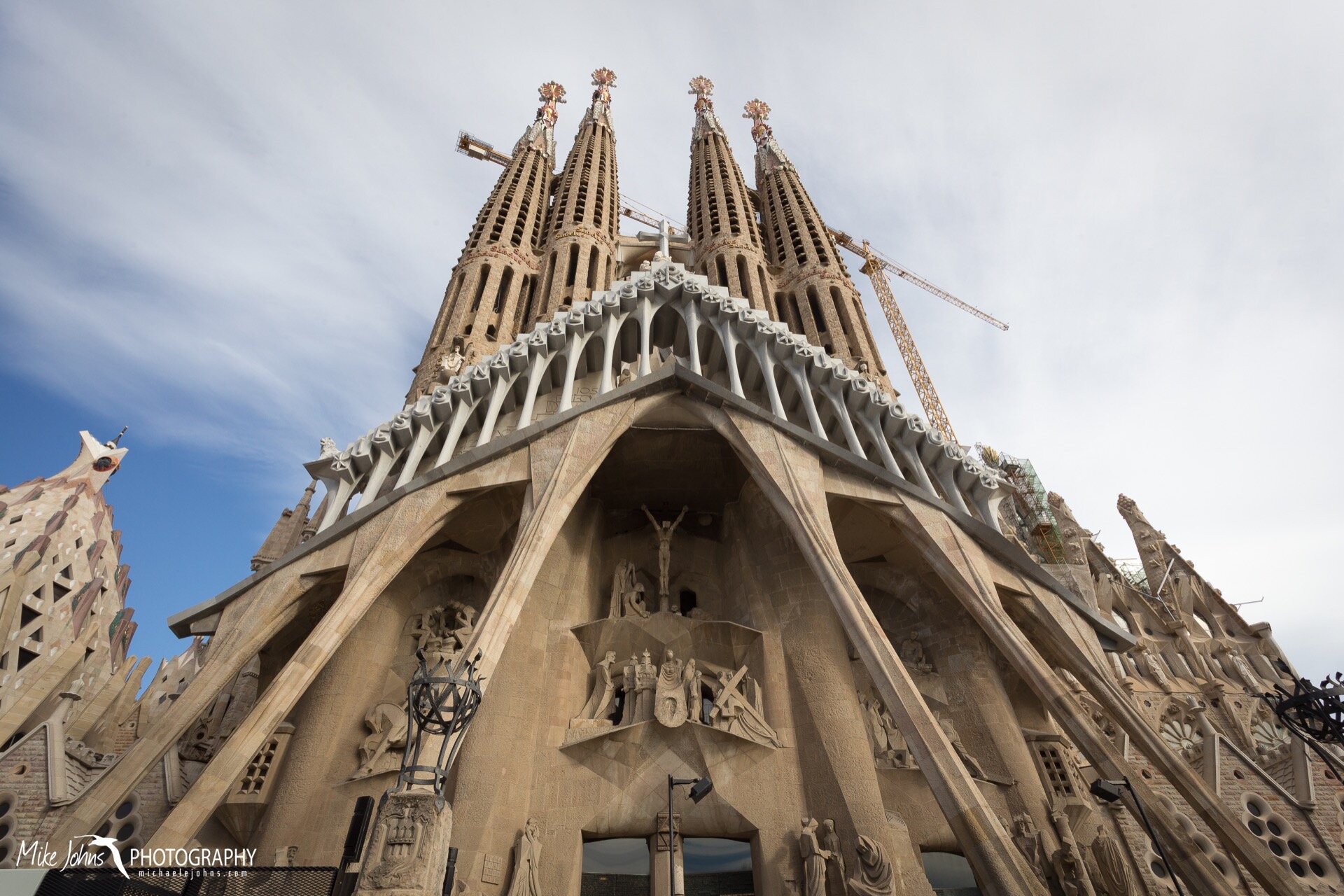
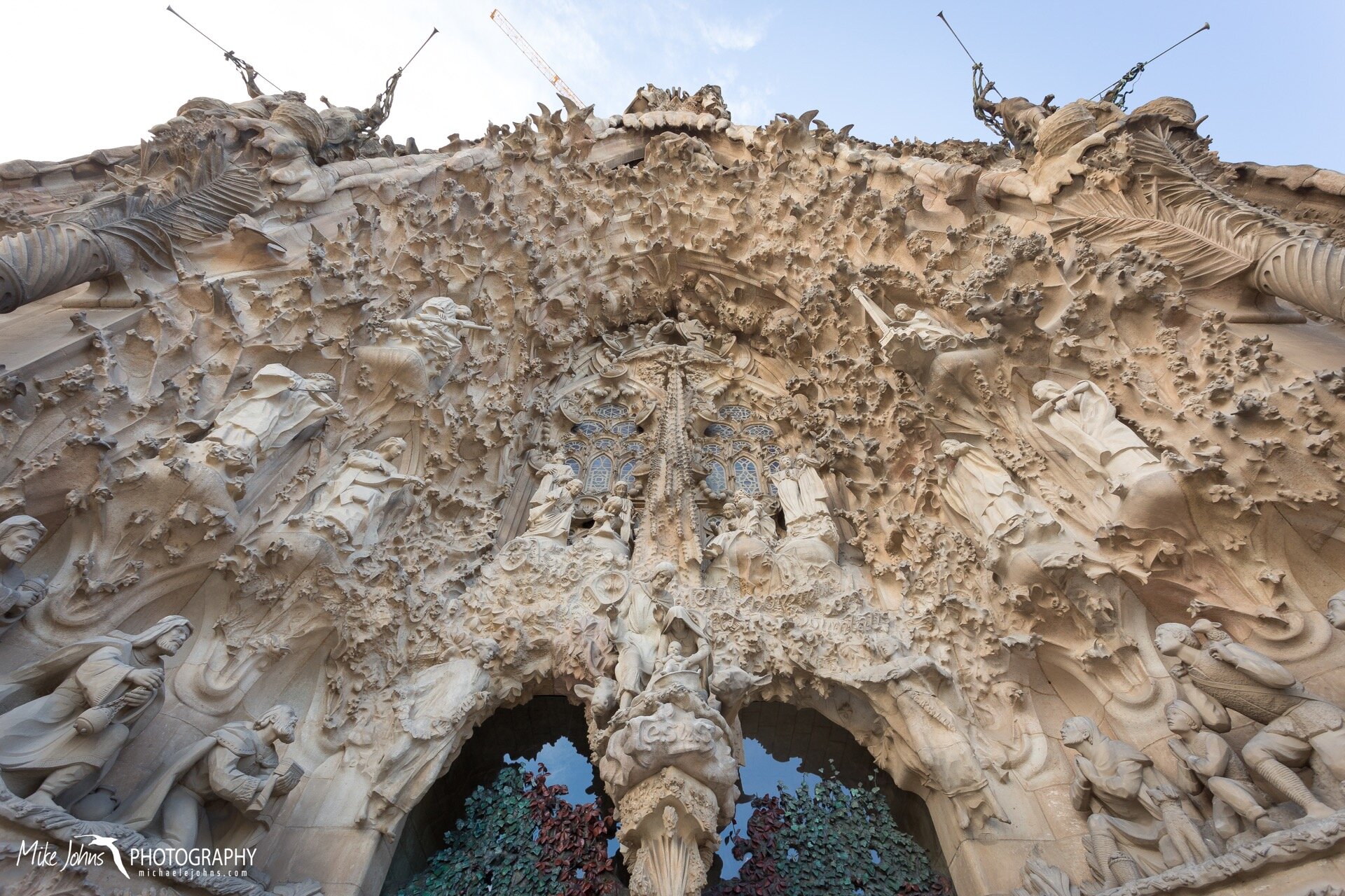
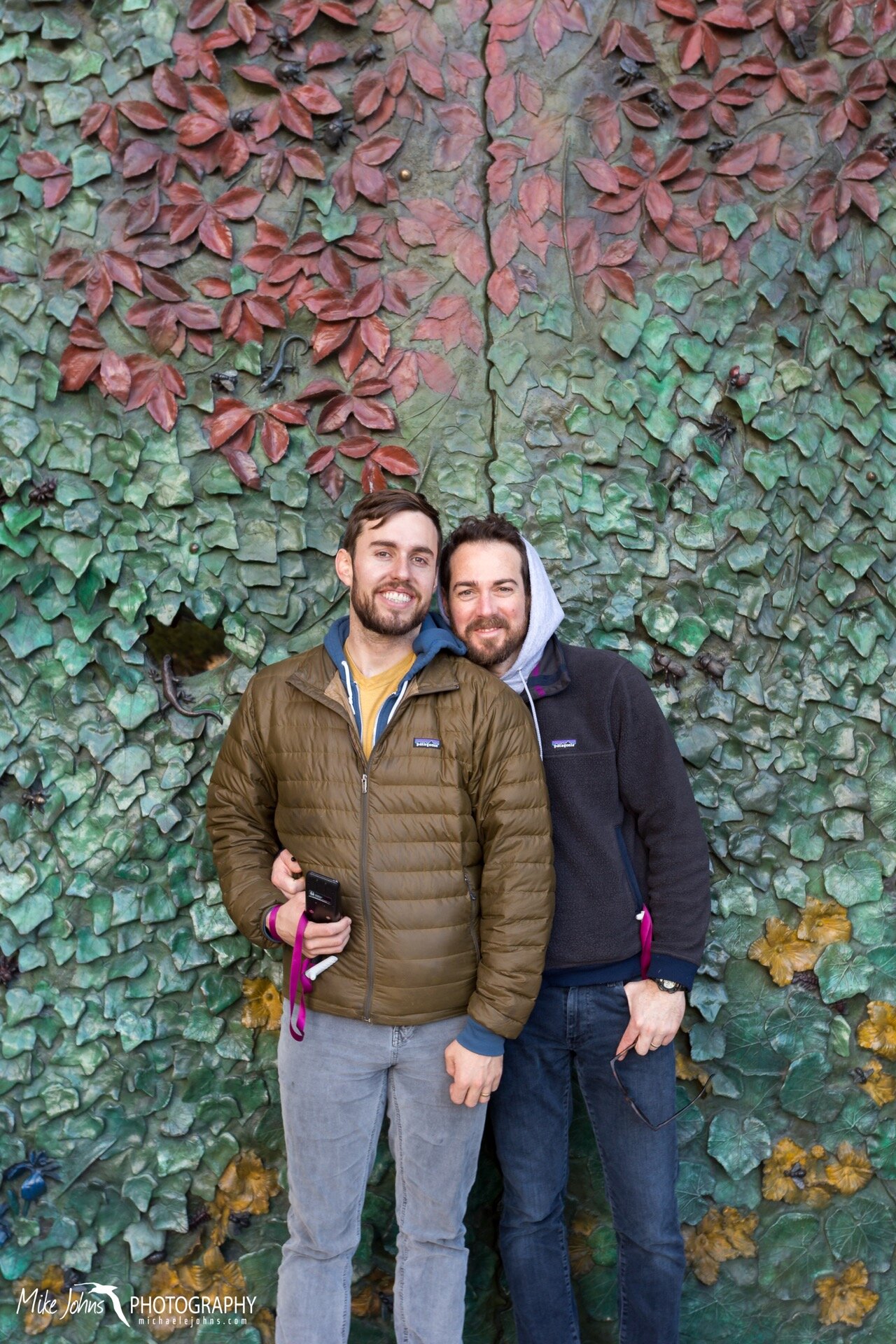
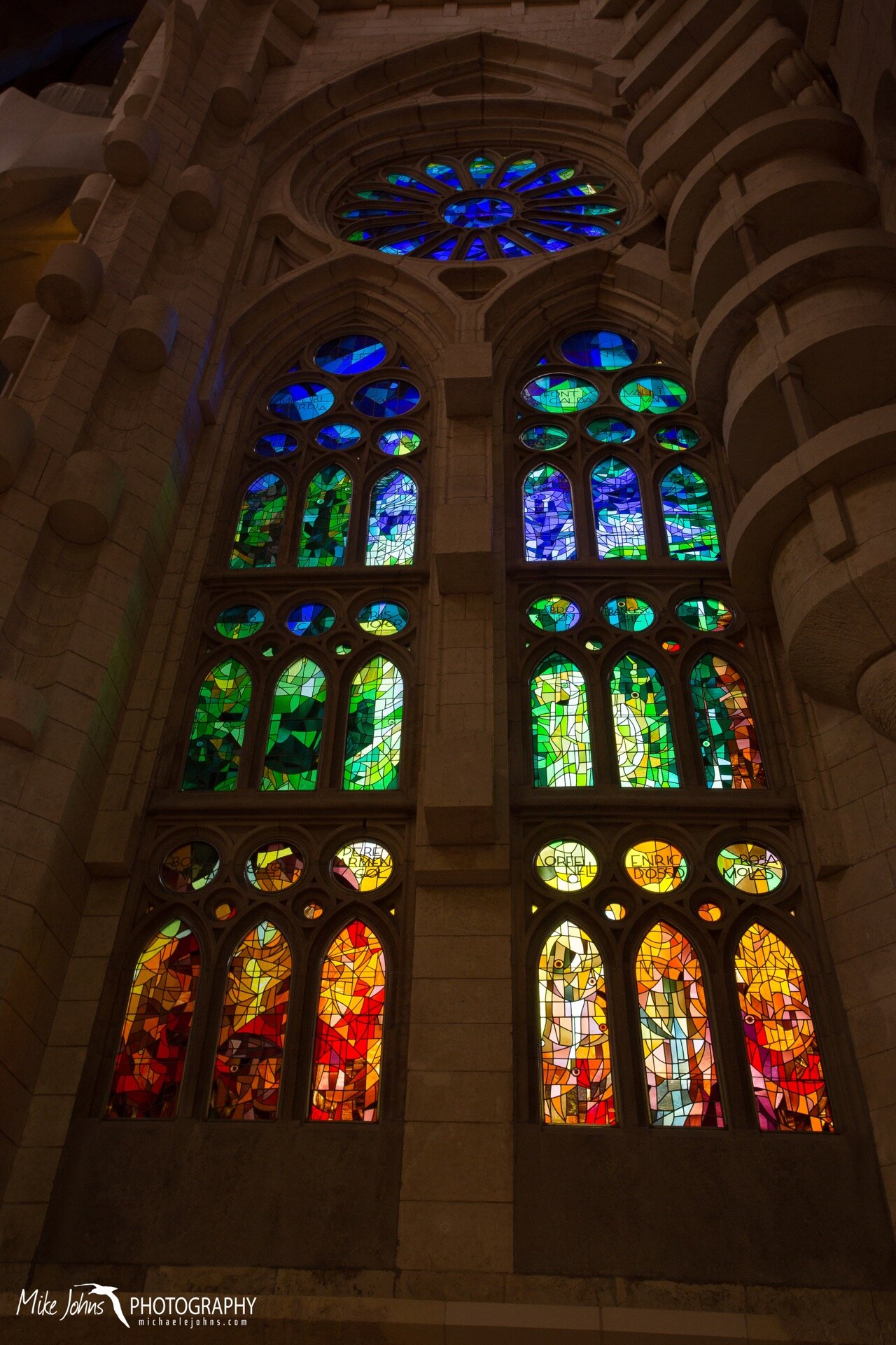
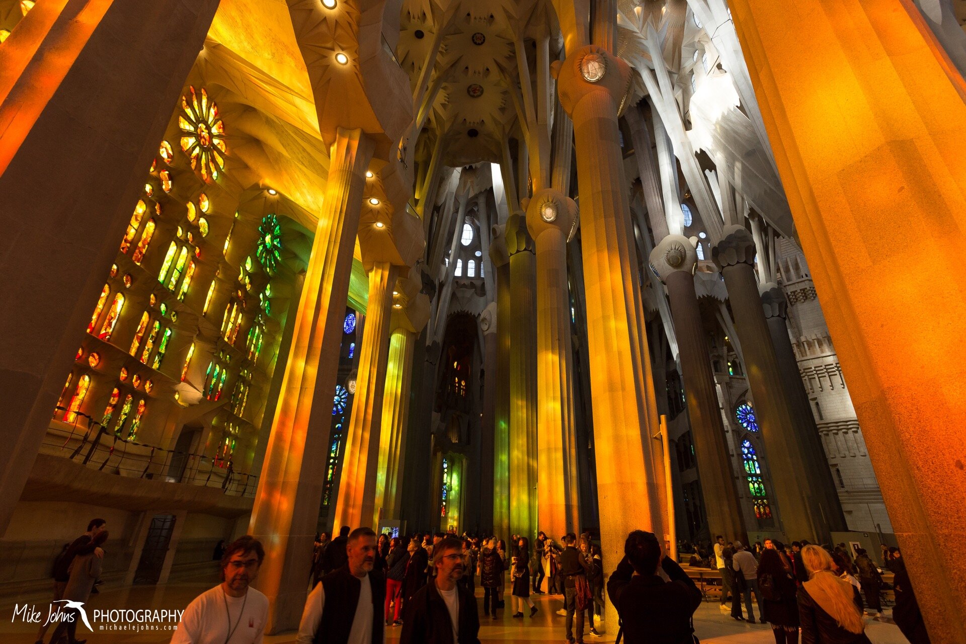
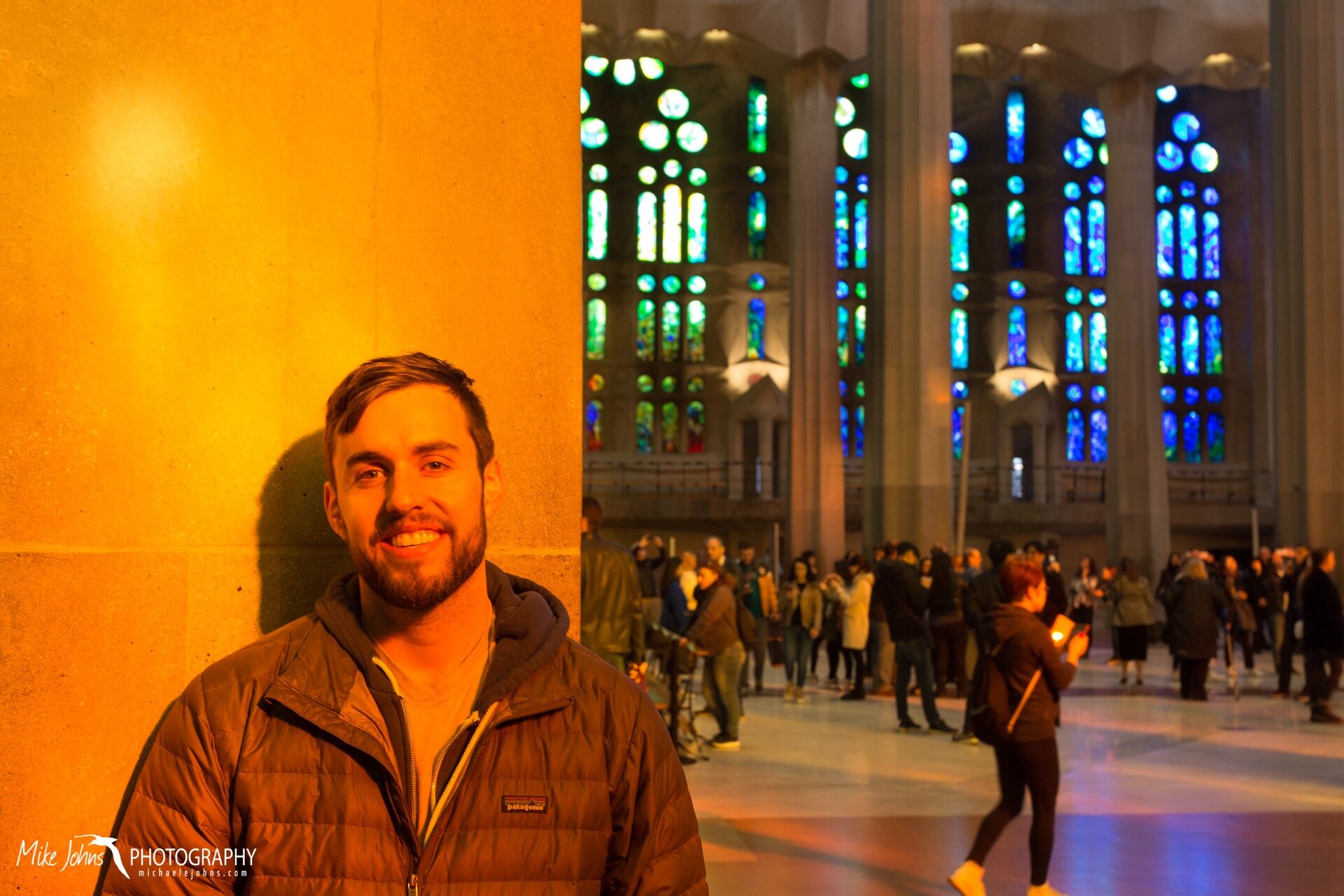
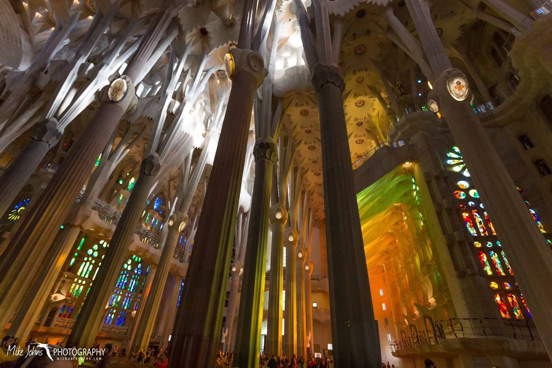
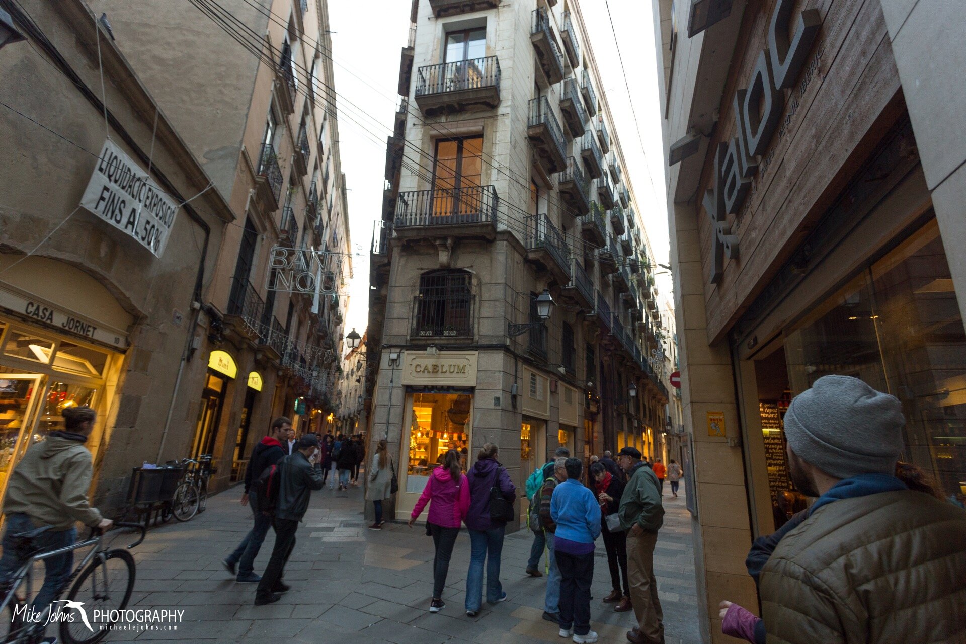
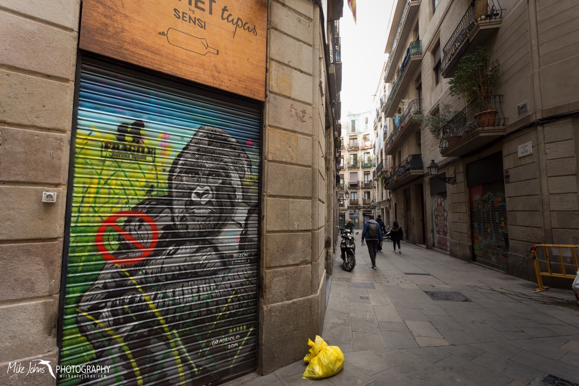
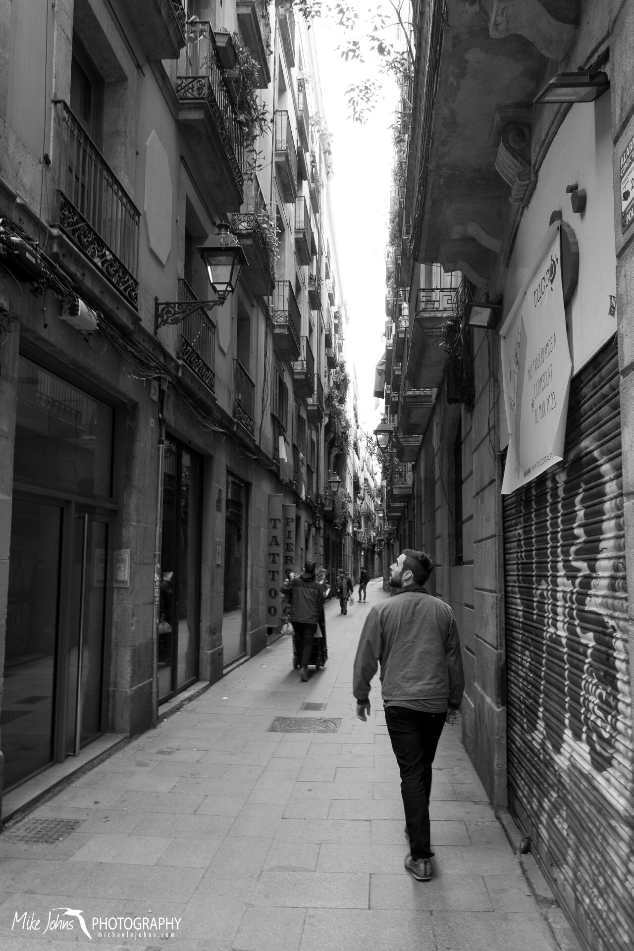
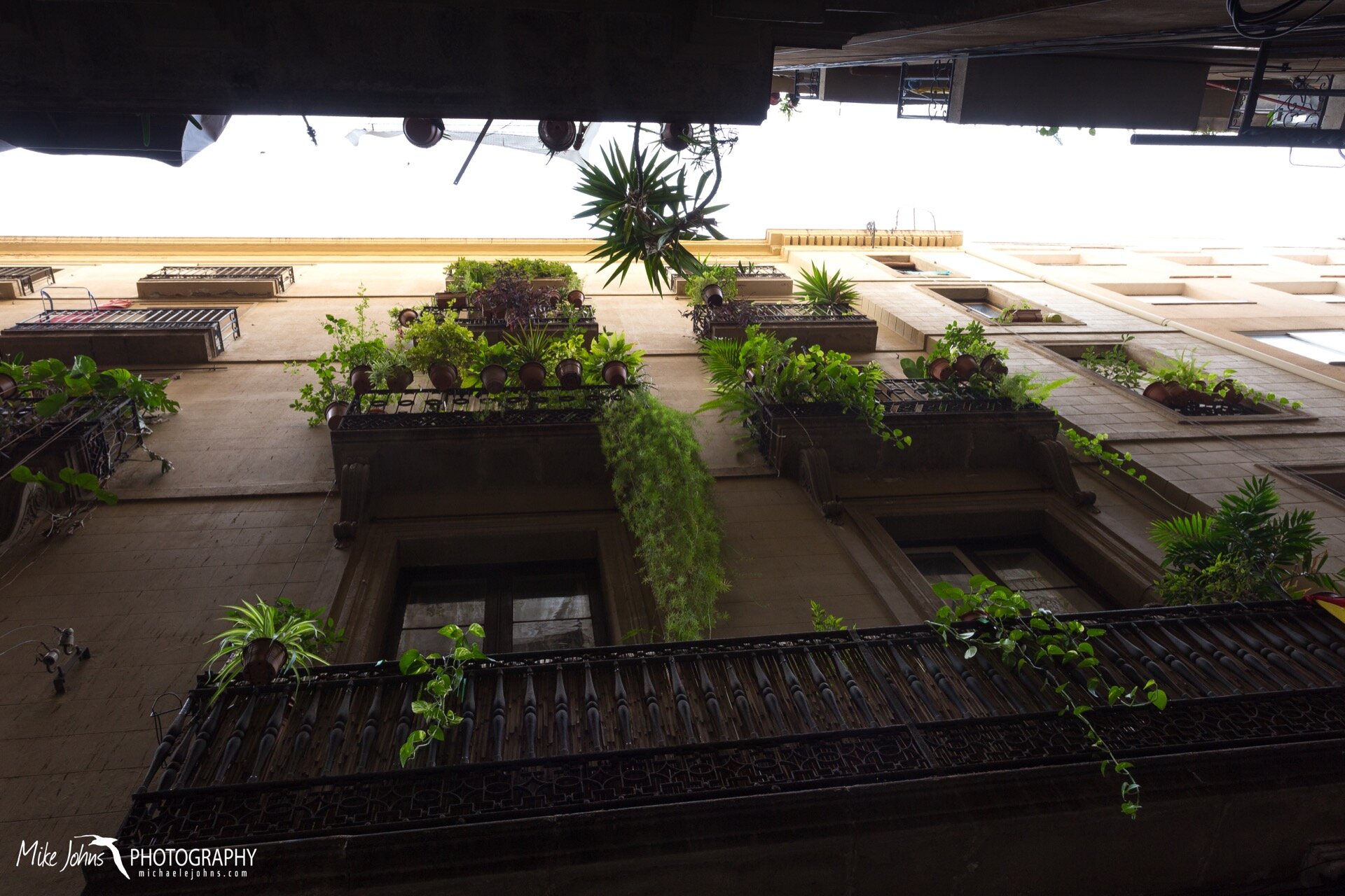
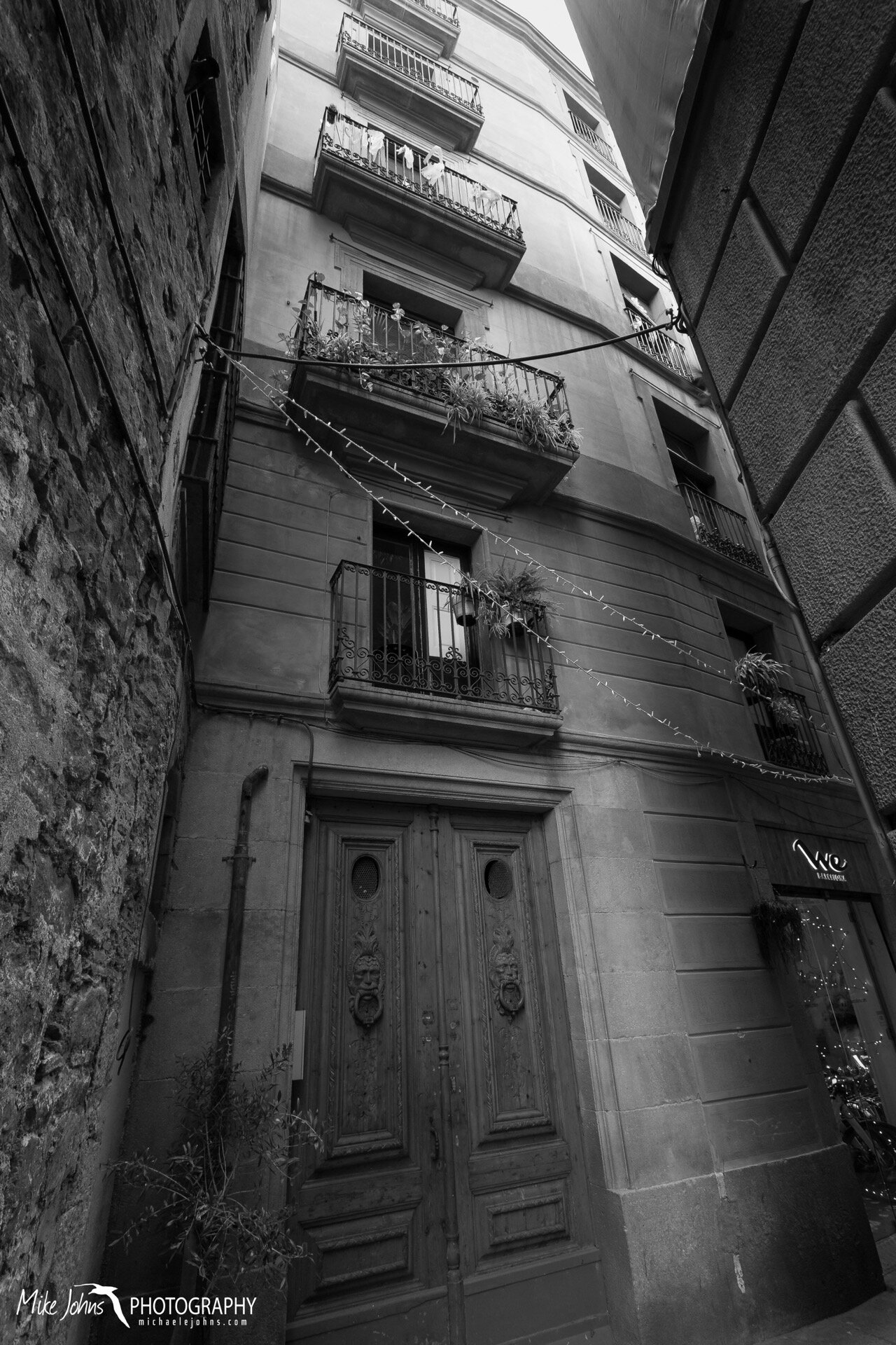
The remainder of our Euro trip was 10 days in Barcelona, where the conference was held. We spent much of our free time wandering the Gothic Quarter; a labyrinth of narrow cobble stone alleys winding through the oldest buildings of the city, with some structures dating back to the Middle Ages. The highlight of our time in Spain was a visit to La Sagrada Familia, a massive unfinished Roman Catholic basilica designed by the Catalan architect Antoni Guadí. His artistic modern twist on the Gothic style blends traditional spiritual and religious symbolism with representations of the natural world. The impressive structure towers high above the city, but the massive work of art is best experienced from inside. Huge columns of stone rise and fork overhead like a giant tree canopy, and beautifully intricate stained glass windows invoke the warm colors of a sunset. In my opinion, this basilica is as much a celebration of the natural world as it is of the spiritual one, a truly unique masterpiece that can be enjoyed by all. Guadí was hit by a trolly and died in 1926, 43 years after he took on the project of Sagrada Familia in 1883. Through donations and visitor fees the construction continuous, with the major elements slated for completion by 2026, the centennial of Guadí’s death.

Local Paddle by Michael Johns

After years of being frozen all winter, I finally have the opportunity to use my kayak. I was lucky enough to find a storage locker for my 19 ft wooden boat only a 10 minute walk from our apartment, and just steps from a launch into Lake Union. My normal paddle extends from Stimson Marina in Ballard, under the Ballard Bridge, past rows of fishing boats, sail boats, and house boats, through The Cut, under the Fremont and 99 Bridges, and into Lake Union proper. The heat map below shows my most used paths. Not surprisingly the views of Seattle’s skyline are particularly stunning in the cold early morning and just before sunset. Now I just need to build up the courage to make it through the Ballard Locks and out into Puget Sound.

Moving Out Of Alaska by Michael Johns

Five winters later and the time finally came to say goodbye to Fairbanks. After donating or throwing out anything we couldn’t fit into Casey’s Honda CRV and my Toyota Tacoma, we hit the road for Seattle. My dad, who flew up from California to take part in the move, drove the Tacoma with Noosa as co-pilot. It was early September, so the fall colors from the birch and cottonwood of the Boreal Forest transitioned back into the the late summer greens of cedar and big leaf maple in the Pacific Northwest. We took the eastern route on our move up in 2014, so this time we decided to give the western Cassiar Highway a try. Road conditions were excellent, camping was easy, we found some time after dinners to paddle Kluane, Boya, and Meziadin Lakes, and although we saw many black bears none of them ended up in our tents. Good times were had by all, and it was great getting to share the road trip with my dad.

Catching Fish by Michael Johns

Sometimes a net works best when catching fish. In this case, seabird interns on Southeast Farallon Island are extracting a rhinoceros auklet from a mist net, in order to identify and measure fish the bird is bringing back to its chick. Seabirds sample the marine environment for us, and provide insights into the types of fish available around the island and within the Gulf of the Farallones National Marine Sanctuary. This particular auklet was carrying a bill load of 2 northern anchovy, a common prey item for this location.

Family of Ancient Murrelet by Michael Johns

Every season on Southeast Farallon Island has its share of surprises. From the residency of a northern gannet in 2012, to the invasion of hundreds of fork-tailed storm-petrels in 2017. This year it’s a family group of ancient murrelets, a species of wing-propelled diving seabirds that breeds well north of the Farallones.

Seabirds generally seek out remote predator-free islands as a refuge to lay eggs and rear chicks. This strategy ties individuals to their respective breeding colonies, limiting the maximum distance parents can travel to search for provisions for their chicks. Possibly as a means to overcome this limitation, ancient murrelets have adopted a different strategy. Rather than bringing food back to their chicks, they bring their chicks out to the food. A mere 1-3 days after hatching, persistent calls from devoted parents compel their chicks (up to 2 in a clutch) to take a plunge into the cold North Pacific ocean and paddle out to sea. These chicks, nothing more than buoyant balls of down with legs, follow their parents into the productive waters of the Pacific, slowly growing off a diet of zooplankton until they are big enough to fly and forage on their own.

What makes this sighting of a family group unique and exciting for the Farallones, is the fact that ancient murrelets predominately breed hundreds of kilometers away on the Aleutian Islands and throughout Southeast Alaska. A sighting of a chick off the island, which was likely no more than 25 days old, means it must have hatched somewhere relatively nearby - a noteworthy observation considering Washington State is the furthest south they’ve ever been confirmed to breed.

One Of Many Thousands by Michael Johns

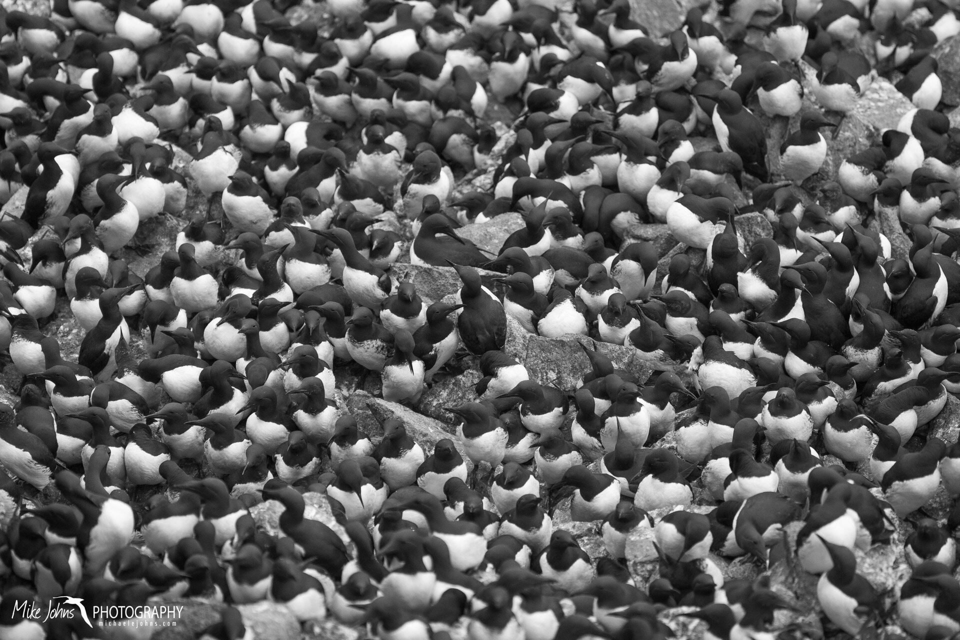
A single common murre perched above tens of thousands more. Although their nesting behavior and overall appearance resembles that of a penguin, these wing-propelled diving seabirds are actually more closely related to puffins. And unlike penguins, these birds have retained their ability to fly…but just barely.

Tasmanian Honeymoon In A Van by Michael Johns

Thanks to all the generous contributions to our honeymoon fund by friends and family, Casey and I were able to spend 3 awesome weeks touring Tasmania in a camper van. And we managed to spend every last cent... so thanks again to everyone for your gifts! Here are a handful of photos and some anecdotes from our travels.

Preamble: 3 Days in Hobart

Prior to getting the van, we stayed at an Airbnb in Hobart for 3 nights to take in the sights of the city. We treated ourselves to a fancy 6-course meal, pub food and beer, and a visit to the Museum of Old and New Art (MONA) via a ferry that used plastic sheep and pink rockets as seats (art). The museum was a highlight of our trip, and if you ever find yourself in Hobart I highly recommend a visit.

Day 1: Hobart to Remarkable Cave

After picking up of Hertz rental van from the Hobart airport, stocking the cupboards with food and drink, and remembering to drive on the left, we set off for the Tasman Peninsula. Our destination was a spot on the southern corner of the peninsula called Remarkable Cave, a cavernous forking cave system carved by the erosional force of waves. From the parking lot, we hiked out to Mount Brown, offering views of a rugged coastline and secluded sandy beaches. We took a side trail down to one such beach in Maingon Bay, a great place for a swim. Later in the afternoon on our hike back, we spotted our first echidna digging for ants along the trail, Australasian gannets patrolling beyond the breakers, and a lone albatross gliding past the shore. We spent our first night in the van under the southern stars in the parking lot of Remarkable Cave, and speculated that the built in mini-fridge was quite possibly the noisiest fridge on the planet.

Day 2: Remarkable Cave to Fortescue Bay

“You can drive on unsealed roads, you just won’t be covered by insurance”. Turns out you can’t get to any of the preferred destinations in Tasmania by only staying on paved surfaces, so despite the lack of coverage by Hertz, after a long drive down a dusty washboard we arrived at the Mill Creek Campground in Fortescue Bay. Surprisingly, our tiny bald tires survived the puncture-threatening rough road (and the many kilometers of future unsealed routes we later took). Fortescue Bay was where I spent a few days hiking on my first visit to Tasmania back in 2011, and is arguably one of the most beautiful spots on the island. I dug up the following passage from my travel notes back then, which I think sums up this part of Tasmania pretty well.

“I’m looking across Fortescue Bay to the cathedrals of rock, reaching vertically 300 meters. The sun’s late afternoon low light, absorbed by the lichen, paints a golden orange on the cliff faces with contrasting black boxy shadows. The wind is high, blowing wave tops into spray, creating miniature rainbows as the water rains down. Dozens of Shy Albatross furrow their brows as they patrol the surface in the wind, while Australasian Gannets, with a flash of white wings dipped in black ink, soar high above. Black Faced Cormorants dawned in elegant tuxedos stand idle by on the rocks around me, their wings outstretched and heated by the suns reseeding rays. Sooty Oystercatchers pierce the exposed limpets and mussels with their fire red bills, while the broad leafy fronds of Bull Kelp dance and slap as they fold in and out with the waves. Somewhere in the distance I hear the muted bark of an Australian Fur Seal, masked by the howling wind and the crash of the boiling surf. The entire scene, the setting sun, the chill in the air, the epic cliffs, and the abundant wildlife, is absolutely beautiful.”

Fortescue is where the Cape Hauy Track begins, a strenuous trail through dense forest that eventually gives way to epic views along steep dolerite cliffs sculpted by erosion into vertical geometric pillars of rock. Waiting until the morning rush of hikers had ended, we traversed the many steps on the 4-hour return trail and found ourselves at the scenic lookout with only a few other lone hikers. Brief refreshing squalls of heavy downpours rolled in as we neared the end of the trail, with thunder booms echoing through the hills behind us. After our hike, we cooled off with a swim in the Tasman Sea, where Casey nearly waded into a huge Smooth Stingray, the largest species of ray in Australia, which I thought was merely a massive clump of detached kelp.

Day 3: Fortescue Bay to Swansea

Waiting for a break in the pouring rain, we explored the Tessellated Pavement on our way out of the Tasman Peninsula, a bench of crisscrossing cracks in the rock that form a natural tile-like texture. Our next major destination would be Maria Island, but we decided to overshoot the ferry terminal a bit to spend a night in a caravan park in Swansea, a humble little town tucked in the northwest corner of Great Oyster Bay. Access to power and water hookups gave us a chance to charge batteries, top off the drinking water, and take a hot shower, while the town provided a few extra groceries and beer. Another little known perk to this holiday park was a five minute walk to a modest short-tailed shearwater colony fringing a golf course built on a nearby headland. We sat post-sunset and pre-sunrise the next morning watching dozens of shearwaters crash land and awkwardly waddle in and out of their earthen burrows; seabirds after all are better adapted to a life at sea. Little blue penguins often accompany shearwater colonies, the chance of seeing them drawing in a handful of other tourists staying in the holiday park, but none were seen. The fact that shearwaters cover the entire Pacific Ocean basin on an annual migration to the Bering Strait and Arctic Ocean made seeing them on land at their breeding colony way more exciting than penguins for us.

Day 4: Swansea to Maria Island (via Ferry from Triabunna)

Wombats are all over Tasmania, but the place were they are most concentrated must be Maria Island. Leaving the van behind in Triabunna, we jumped on a 30-minute ferry out to Maria Island, pronounced by the Aussies with an “h” like Mariah Carey. Clearings from former human occupation makes the historical shore-based whaling settlement of Darlington, where the ferry docks, the perfect habitat for grazers like wombats and pademelons, and an absence of cars and lack of any natural predators means their populations have exploded. We spotted a few upon arrival and evidence of their presence in the form of cubic droppings everywhere, but once sunset neared the grassy slopes began teeming with brown lumps of wombats trundling across the landscape. We also observed quite a few eastern grey (or Forester’s) kangaroo and many Cape Barren geese.

Aside from the abundant wildlife, another major natural attraction on Maria Island are the Painted Cliffs, a short walk north from the campground. The natural canvas of white sandstone was carved by waves and stained red by deposits of iron oxide. We hung around the Painted Cliffs until dusk, in hopes that the orange of sunset would enhance the color of the rock, which it did.

Avoiding the sprawling tent communities of two competing youth groups, we pitched our tent on the edge of the far grassy field near a windy beach. Before heading to bed we spent about an hour spotlighting for Tasmanian devils, which were introduced to Maria Island in 2012 to serve as an insurance population against a prolific contagious nose tumor that is killing off much of the natural population. While we saw many brush-tailed possums, we had no such luck with the devils.

Day 5: Maria Island to Denison Beach

Next on our list of places to see was Wineglass Bay in Freycinet National Park, located east of Swansea on the Freycinet Peninsula. When we arrived, however, we found ourselves adrift among hordes of cars, camper vans, and motor homes. People everywhere. Wineglass Bay has been voted by a few apparently important travel guides as one of the top 10 beaches in the world, and tourists have obviously taken notice. After some deliberation, we decided to leave the crowd behind and keep driving north, and ended up finding Denison Beach, what we thought must be at least one of the top 10 beaches in Tasmania, and best of all, with no one on it. We relaxed in the sun, swam in calm clear blue water, and enjoyed a sunset of fluffy pink clouds. The small dirt parking lot at the entrance to the beach served as our campground for the night, a space we shared with likely another refugee of the Freycinet complex.

Day 6: Denison Beach to Humbug Point

After morning coffee on the beach and one last swim, we continued trekking north en route to a campground at Humbug Point just south the Bay of Fires, a stretch of coastline named by an English navigator in 1773 in reference to a string of beach fires from Aboriginal people. Coincidentally, this area of Tasmania also contains granite boulders coated with vibrant fiery orange lichen. The scrabbling sound of claws on metal woke us up late at night, and we were convinced a gang of brush-tailed possums would soon bust through the mesh of the vent windows and raid out food cupboards. Turns out they didn’t, and we also discovered in the morning that we had left the passenger window down.

Day 7: Humbug Point to Stump’s Bay

We spent the morning at Eddystone Lighthouse on the north end of the Bay of Fires, where we enjoyed the endless white sand beach for a bit and attempted to body surf the small wind waves. By mid afternoon, after driving past long stretches of cow pasture and farms, we arrived at Stumpy’s Bay, the furthest north we would travel on this trip. Wallabies frequented our camper van.

Day 8: Stumpy’s Bay to Narawntapu

Leaving the east coast behind, we set off on our second longest leg, passing through small towns and farmland to Narawntapu National Park, considered the Serengeti of Tasmania. The campgrounds contained warm coin-operated showers, which were nice. We hiked out of Bakers Beach to kill time, a densely vegetated walk where blotchy patterns of leaves from crown shyness of the trees blocked out a grey overcast sky. The north coast of Tassie had a cold, lonely bleakness to it, but then again it may have just been the wind and grey skies. Living up to its reputation, by late afternoon the fields of Narawntapu were peppered with Forester’s kangaroos and Bennett’s wallabies. If we squinted we could almost envision herds of gazelles grazing across the Serengeti. The rumbling of a passing lightning storm shook us awake in the middle of the night, soaking my boots that had been visited by a wallaby earlier in the day.

Day 9: Narawntapu to Cradle Mountain

One might say the north coast of Tasmania defines the urban sprawl, and while it was nice to see this side of the state, we were ready to get back to the wilderness.  With a refueling and water stop in the town of Burnie, we headed south towards the interior. After waffling on where to stay for the night, we managed to snag the last campsite at Cradle Mountain. Despite similar hordes of people that scared us away from Freycinet, Dove Lake backdropped by the bowl-like silhouette of Cradle Mountain is an iconic scene we didn’t want to miss. We circumnavigated the lake early to beat the crowd, along one of the most well maintained trails I’ve ever been on. A heavy mist made the multi-colored zebra patterns of the tree bark and rich green leaves really pop. Among the wildlife sighted was an echidna foraging dangerously close to the road, and a wombat seeking shelter from the mist under the boardwalk trail.

Day 10: Cradle Mountain to Mountain Valley Reserve

We really wanted to catch a glimpse of a Tasmania devil in the wild, so after some research Casey stumbled upon the Mountain Valley Nature Reserve, which boasts a near guaranteed chance of seeing them right outside your cabin window. It turns out they do this by putting chicken on the lawn off the front porch of each cabin, but we won’t get into that here. So we booked one of the six cabins and parked the van for two nights. Devils are only active at night, and with a nearly full moon, we would have to stay up pretty late in order to see them. Casey made it to 2AM the first night, and although we were very excited to see our first spot-tailed quolls, no devils showed up. The next morning our neighbors said they saw a single devil at 2:30AM, so perhaps we had just missed them. So the second night, we stayed up as long as we could. Again, we were visited by a different quoll and a possum, and just before I was about to call it a night, a devil appeared from behind a nearby bush. The encounter was brief, and it didn’t like to stay in the light of our porch for very long, but we managed to finally see a Tasmanian devil in the wild. As a bonus, we saw several platypus in a nearby river and even got a private tour of a glow worm grotto at a limestone cave on the property. The lack of sleep was worth it, but we were pretty tired by the end of our stay here.

Day 12: Mountain Valley to The Neck (Bruny Island)

A traveling day. Desperate to return to the coast, we made a beeline for Bruny Island. A little over 6-hours later, we picked a spot to camp for the night at The Neck.

Day 13: The Neck to Jetty Beach (Bruny Island)

A major draw to visiting Bruny Island was the chance of spotting little blue penguins from an observation platform at The Neck, a narrow strip of sand bounded by ocean. It turns out there is a massive short-tailed shearwater colony there too, with thousands of burrows covering the entire sand dune. The smell of seabirds was ever present. So after waiting for dark, a slow trickle of a few shearwaters flying in from the east erupted into a sky thick with several thousand birds. It was amazing. They were crash landing all over the place, their silhouettes visible with the diminishing twilight. A group of high schoolers showed up with red lights, which helped illuminate the scene. I was pretty happy to see these kids were so interested in observing such a relatively unknown seabird. As the shearwaters began to find their burrows and quiet down, 5 little blue penguins appeared from the beach, and slowly made their way to their respective homes.

We finished our tour of Bruny Island with two flights of beer from the Bruny Island brewing company (which were all delicious), a visit to the lighthouse at the south end, and camping at Jetty Beach for the night.

Day 14: Jetty Beach to Cockle Creek

For our final night in the van, we felt it would only be fitting to camp at Cockle Creek, the farthest south you can drive in Tasmania. Although the guidebooks stated this place was off the beaten path, most of the desirable parking spots for camper vans were taken, but we managed to find some space. The beach here was amazing, and we spent our final full day drinking beer in the sun on the sand. 

Denali Road Lottery by Michael Johns

More than a century ago, the United States congress was persuaded to create Denali National Park, a now 6 million acre wildlife preserve named after the tallest mountain in North America. By design, the human footprint within the park remains minimal, with few facilities, no real hiking trails, and a single 92 mile-long dirt road. Private vehicles are restricted beyond the Savage River Campground, at mile 15 on the park road. From there, a fleet of buses services the remainder of the road, allowing visitors to hop on and off wherever they like. This enables the public to access the spectacular wildlife and scenery the park has to offer, without the headache and chaos of thousands of vehicles clogging up the road every time a brown bear crosses.

At the end of the summer tourist season in mid September, the buses are parked for the winter and the full length of the Denali park road opens to select group of lottery winners. Every year people can enter what is called the Denali Road Lottery, where up to 1600 private vehicles (400 per day over a 4-day period) are selected at random and allowed to drive the 92 mile stretch of wilderness road all the way to its terminus at Wonder Lake. Winners of this lottery have the freedom to drive at their leisure, stopping whenever and wherever scenic vistas and wild animals are encountered.

According to the National Parks Service website, roughly 11,400 applications were received in 2017, equating to a 1 and 7 odds of getting drawn. Casey was lucky enough to be drawn, which aligned perfectly with a visit from our good friend Amy. So on the final day of the road lottery, we got to experience the fall colors, sweeping views, and iconic Alaskan wildlife of Denali. Except the actual mountain itself, which was cloaked in low clouds and fog…

One of the big draws to visiting Denali National Park is the chance to get close looks at wildlife that is otherwise more elusive outside the park’s boundaries. Just minutes into the drive, we spotted a large flock of willow ptarmigan waddling along the gravel shoulder. Birds don’t stop up traffic in quite the same way as the large mammals like bears, moose, and caribou do. It was easy to tell when a grizzly had been sighted, where sometimes 20 or more cars would pull over with long expensive lenses sticking out of passenger windows, aiding newcomers by pointing out which direction to look for the bear. The following is our sightings list for the day:

Birds
Horned Grebe - 2
Greater Scaup - 12
American Widgeon - 8
Spruce Grouse - 1
Willow Ptarmigan - 27
Grey Jay - 5
Black-billed Magpie - 10

Mammals
Brown Bear - 3
Moose - 3
Caribou - 8
Dall Sheep - 49
Red Fox - 1
Porcupine - 1
Arctic Ground Squirrel - 1

We were lucky to win the road lottery, but not so lucky with the weather. A very wet and rainy fall this year in interior Alaska meant that most of the towering mountains, including the biggest of them all, were obscured from view. Still, what we could see at ground level was more than enough to make the trip worth while. Perhaps next year we will win another day in the park and try our luck again.

Orange is the New Fairbanks by Michael Johns

For a brief moment in time, vegetative colors in the far north shift from the middle of the visible spectrum (green, where photosynthesis occurs), to the " far right" shades of amber and red. September in interior Alaska offers a narrow window for fall foliage, with reduced day-lengths and colder nightly temperatures signaling to the trees and shrubs a change in the season. The tundra is particularly breathtaking this time of year, as the grasses become fiery orange and the ground cover of blue and bear berries develops a rich red hue. Contrasting this warm color palette are patches of mint green lichen, wind swept grey granite, and the occasional stunted dark green spruce. The golden hour of sunset, still prolonged given the sun's path at such a high latitude, only serves to enhance the overwhelming golden look of the landscape. 

To take advantage of this narrow window of fall colors, we packed up the truck for a quick overnight camping trip with our friend Kyle, at his "secret" berry picking spot just over an hour's drive outside of town. Clear skies offered sweeping views of Minto Flats, a 500,000 acre wetland and state game refuge. As darkness fell, a complete absence of the moon allowed the Milky Way an it's billions of other worlds to shine. Later in the night, material flowing from our own star triggered a decent display of northern lights over our tents, with subtle pinks and purples not visible to the naked eye revealed with a long-exposure of the camera. Waking up to a frosty morning tundra and sundogs were a sobering reminder that winter is just around the corner. 

New Aurora Season by Michael Johns

The Kp index, a measure of the strength of geomagnetic storms from the sun, spiked last night; jumping from a mild 3 to a strong 7. It turns out the Earth had passed through the wake of a coronal mass ejection, where the sun essentially burps out a giant plasma cloud that travels outward from the source as solar wind. This wake weakened the magnetosphere of our planet, allowing solar wind to spill into the upper atmosphere and take on the form of bright green aurora. Space weather forecasters were not predicting this event, a surprise display of northern lights that kicked off the 2018-19 aurora season. 

Ken's Pond in Late Summer by Michael Johns

A brief visit from our good friend Laura prompted a much needed cabin retreat, this time a return trip to Ken's Pond. This public use cabin offers sweeping views of the snow-capped Alaska Range towering over a small beaver pond. Accessible by "highway vehicle" in the summer, we traversed the 5 mile rutted dirt road in my Tacoma to a pullout at the top of a ridge line, where we walked the remaining 800 yards down to the cabin. Highway vehicle is a bit generous for this road, as 4 wheel drive and a high clearance was necessary for navigating the deep mud puddles and trenches.   

As is typical for Ken's Pond, the wind was fierce. The high altitude wind shear, however, created some awesome lenticular clouds; stationary UFO-shaped features formed when a steady stream of moist air encounters an obstacle, in this case a mountain range.  

Highlights from our quick overnighter included circumnavigating the pond, a rousing game of scattergories categories, admiring Noosa, pond-chilled beer, finding coal, wind, and sightings of a beaver (Ken), caribou, and a bull moose. Another memorable visit to Ken's Pond.

Spring Snowfall by Michael Johns

During my brief break from the island, it snowed, in May. Winter is reluctant to release its icy grip on Fairbanks, which doesn't seem to bother our dog Noosa all that much. I won't be back up north until August, just before another long winter settles in. 

La Paz by Michael Johns

The Pacific Seabird Group puts on an annual conference to bring together scientists and students studying seabirds around the Pacific. Last year the conference was held in rainy Tacoma Washington. This year it was held in sunny La Paz, on the southern end of Baja California Mexico (see map below). I used the timing and location of this year's conference to give a talk on my double brooding work with Cassin's auklets, and take a much needed vacation from Fairbanks with Casey before I head out to the Farallones for another summer field season. Once the conference ended, we spent much of our time wading through the thigh-deep turquoise water of Balandra Beach, lounging in the sand, hiking among cacti, birding the Malecon, and drinking margaritas. 

The highlight of our trip was the chance to swim with the world's largest fish, the whale shark. These massive filter feeders can reach lengths of up to 40 feet, and are found in warm tropical waters throughout the world. According to a paper by Ramírez-Macías and colleagues published in 2012, La Paz is one of several sites in the Sea of Cortez where predominately juvenile whale sharks congregate to feed in shallow plankton-rich waters. The site is a short panga ride from La Paz, on the north side of a long sand spit called El Mogote. We spent roughly 40 minutes watching a small (20 foot?) male slowly strain tiny plankton from the surface waters, which during this time of year felt less tropical and more temperate. The photo below was taken in Bahia de los Angeles, another important juvenile staging area further north, during my first encounter with whale sharks in 2006. 

The images above, in order of appearance are: marbled godwits, magnificent frigatebird, tricolored heron, reddish egret, yellow-footed gull (eating a puffer fish), unknown mangrove crab, parade of brown nudibranchs found at low tide in the mangroves (presumably breeding). 

Map of Baja California created with ggplot2 in R. Colored regions indicate topography of land, grays indicate bathymetry of the sea, for those not familiar with the region. La Paz is tucked away on a shallow bay at the southern tip on the Sea of Cortez side. The color pallette for this plot was inspired by the local geology.

Solstice Fireworks by Michael Johns

Fireworks displays are not very effective on the 4th of July in Fairbanks, considering during that time there is essentially no night. Instead, organizers put on a brief "celebration of lights" display over the Chena River in downtown to welcome the winter solstice, for which there is plenty of night. 

Winter Solstice in Fairbanks by Michael Johns

It has been a long dark winter here in Fairbanks, and now that the winter solstice has passed, we can slowly watch the sun reappear from the south. The winter solstice, as we know, is the shortest day of the year here in the Northern Hemisphere. For those of use near the Arctic Circle, the total day length during the winter solstice maxes out at just over 3 hours and 40 minutes...not much sun to work with. Day is a relative term during this time in Fairbanks, as the sun barely peeks above the Alaska Range before dipping back down again, essentially 3 hours and 40 minutes of a merged sunrise and set.