science

Palmyra Atoll by Michael Johns

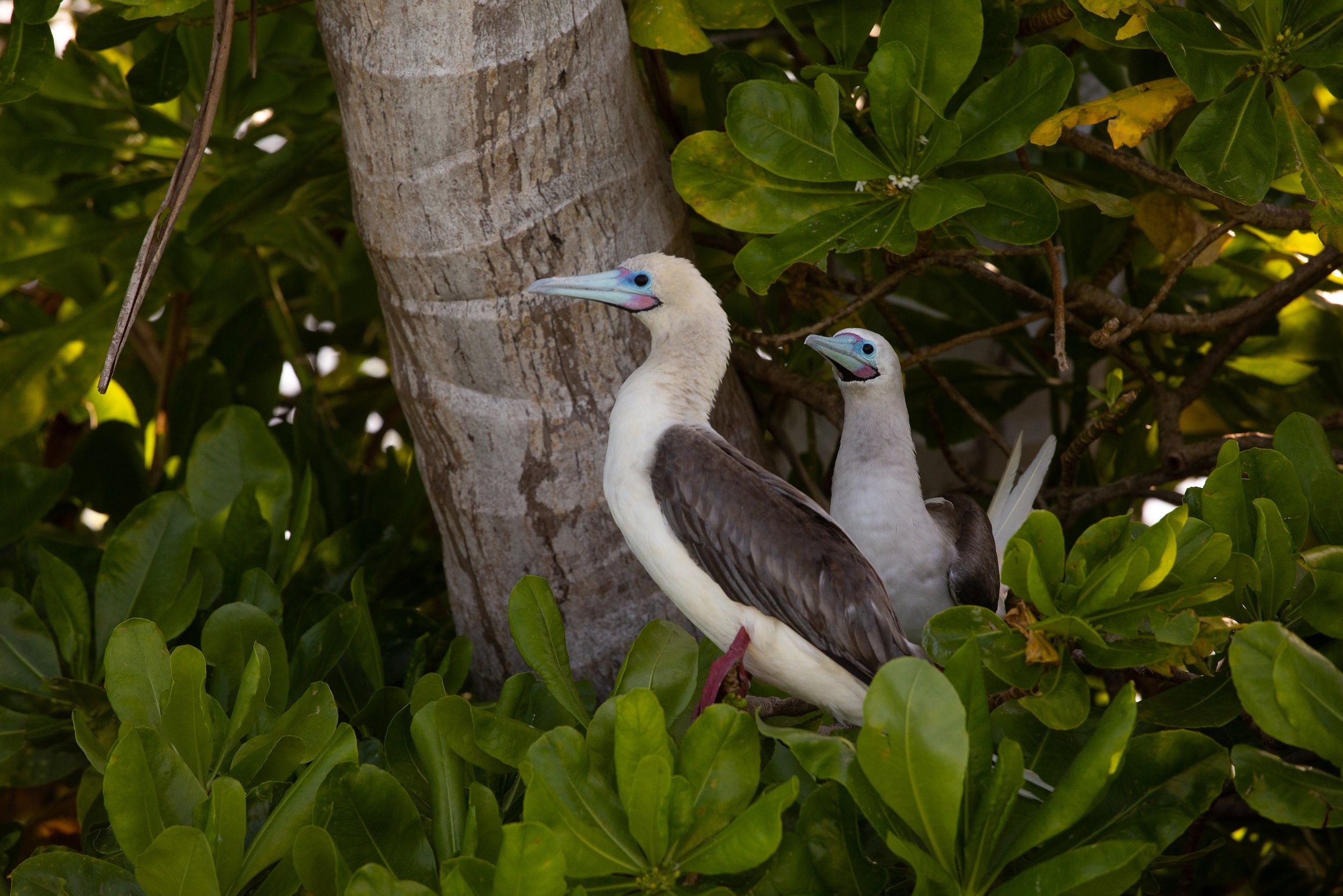
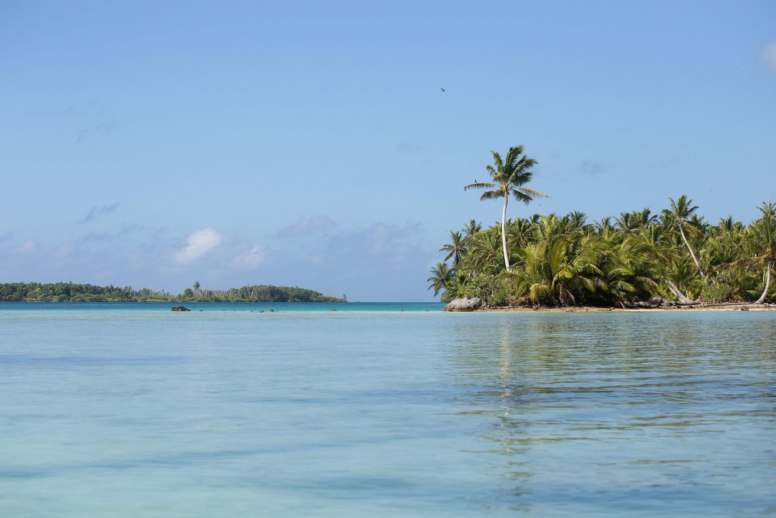
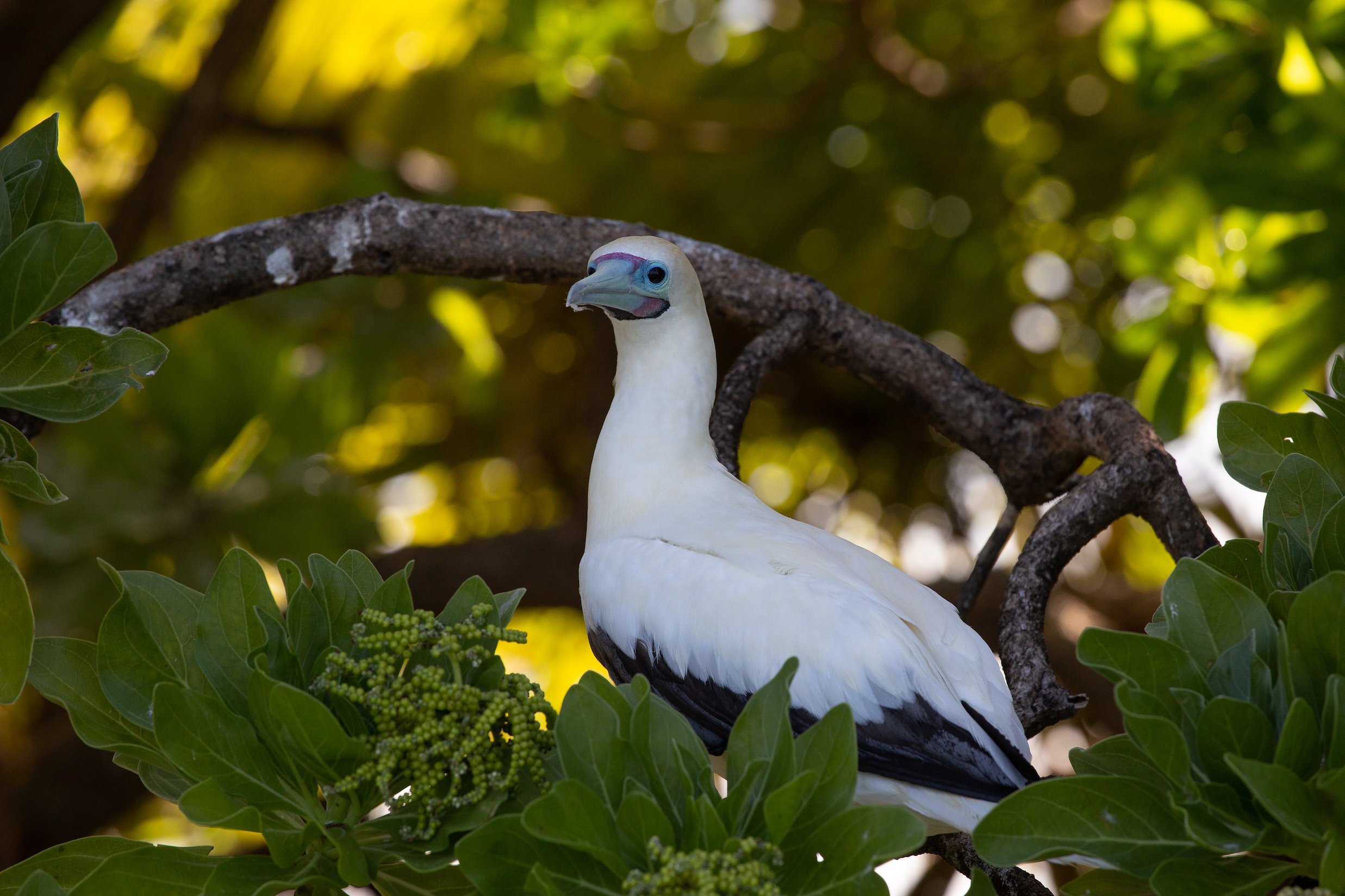
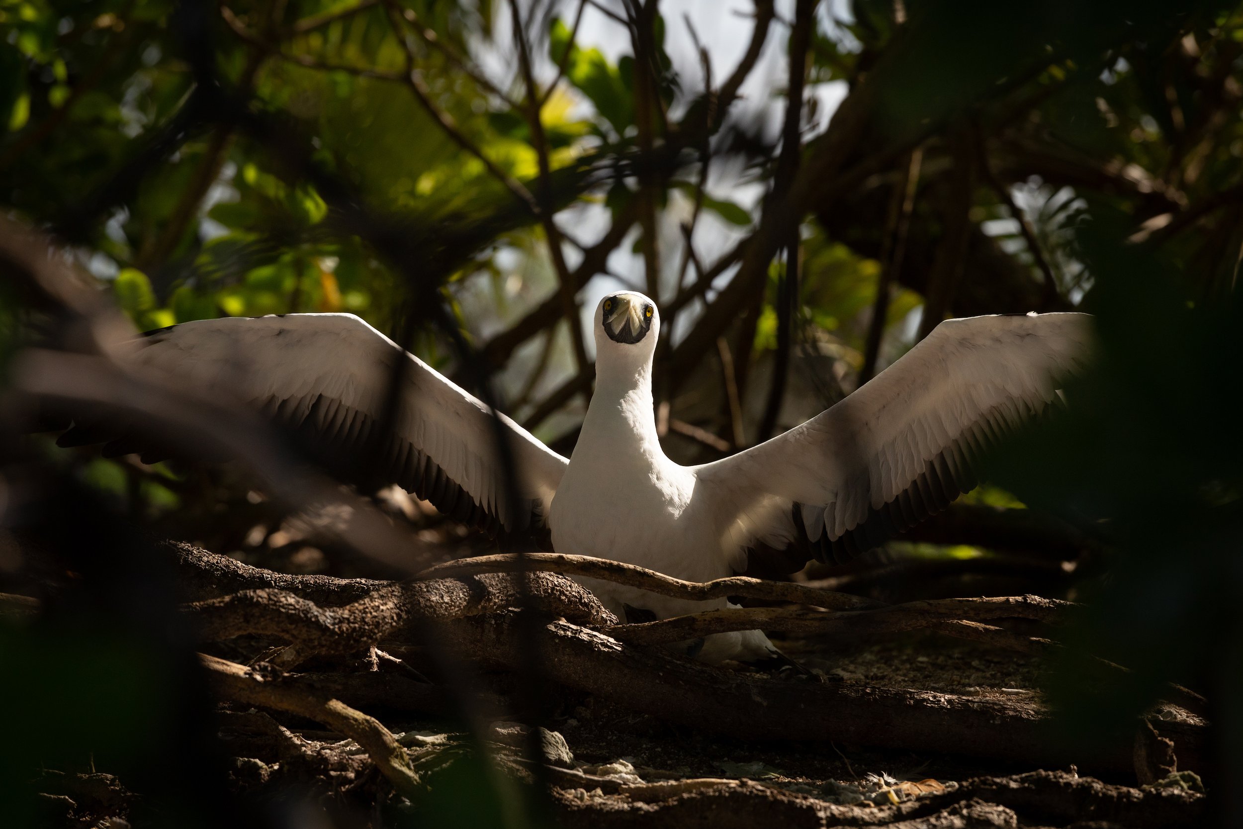
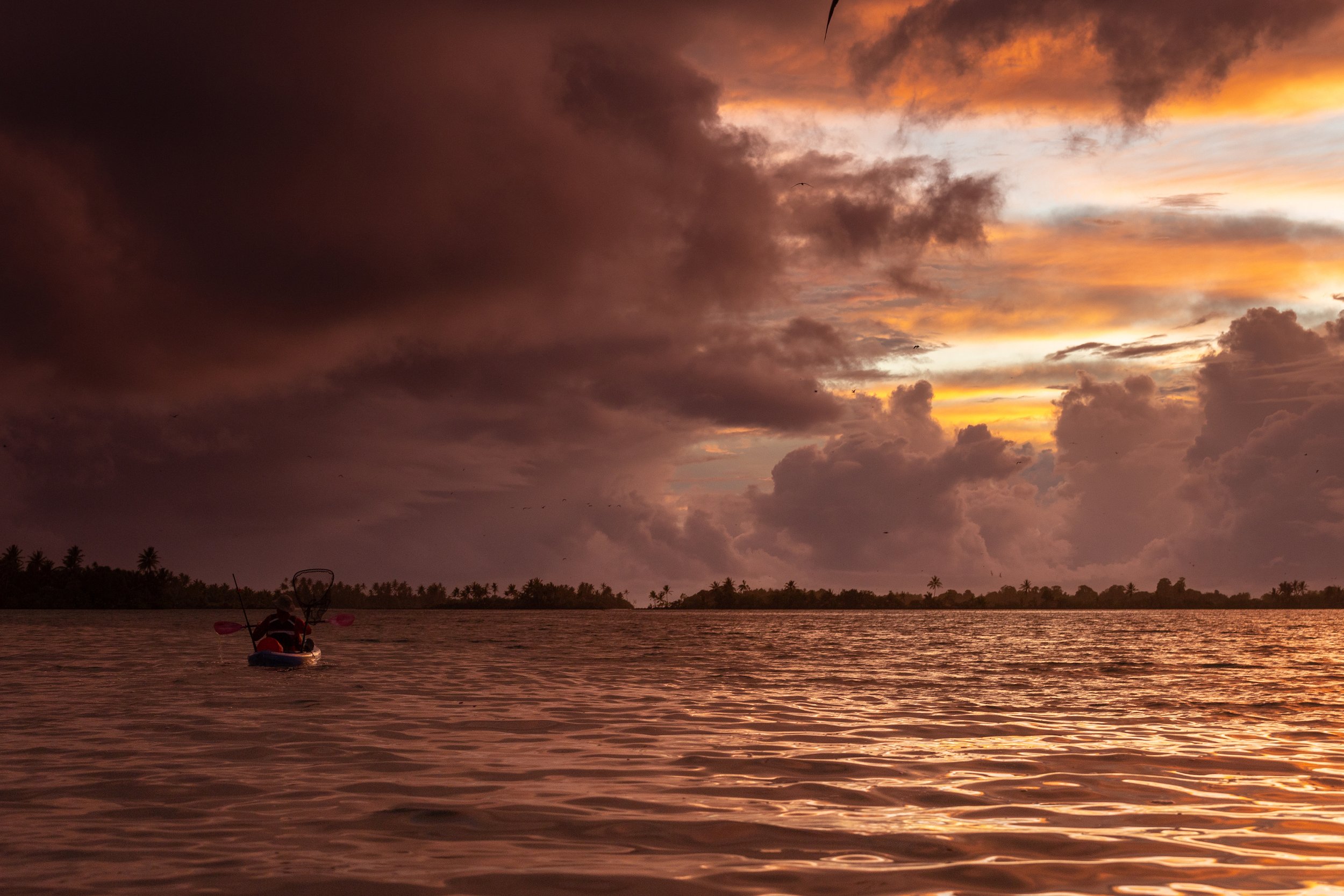
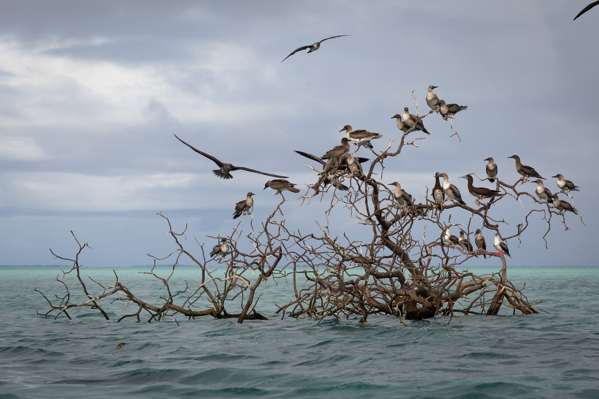
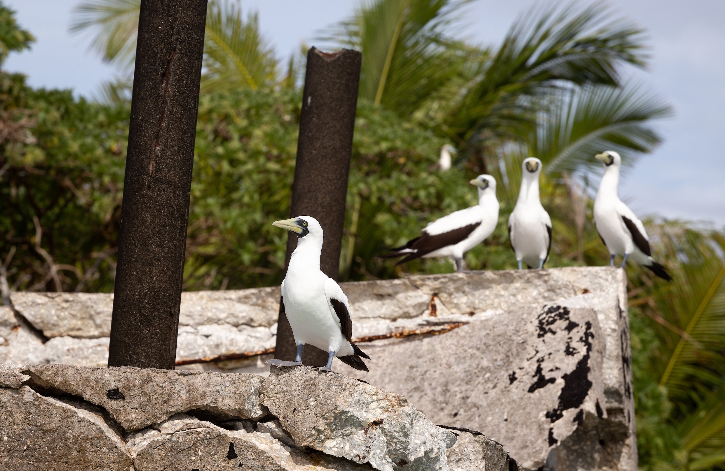
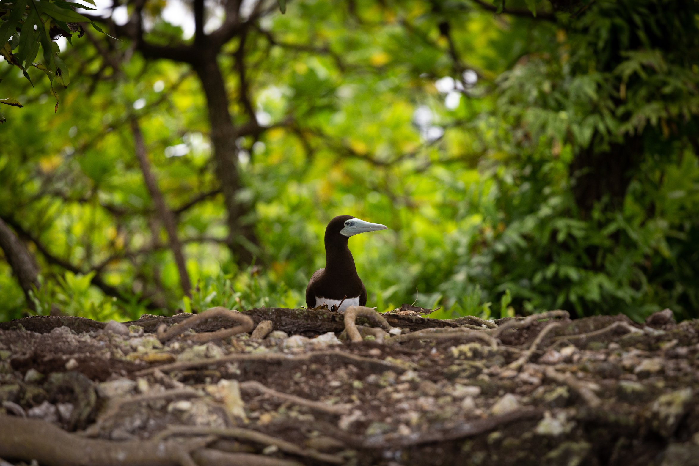
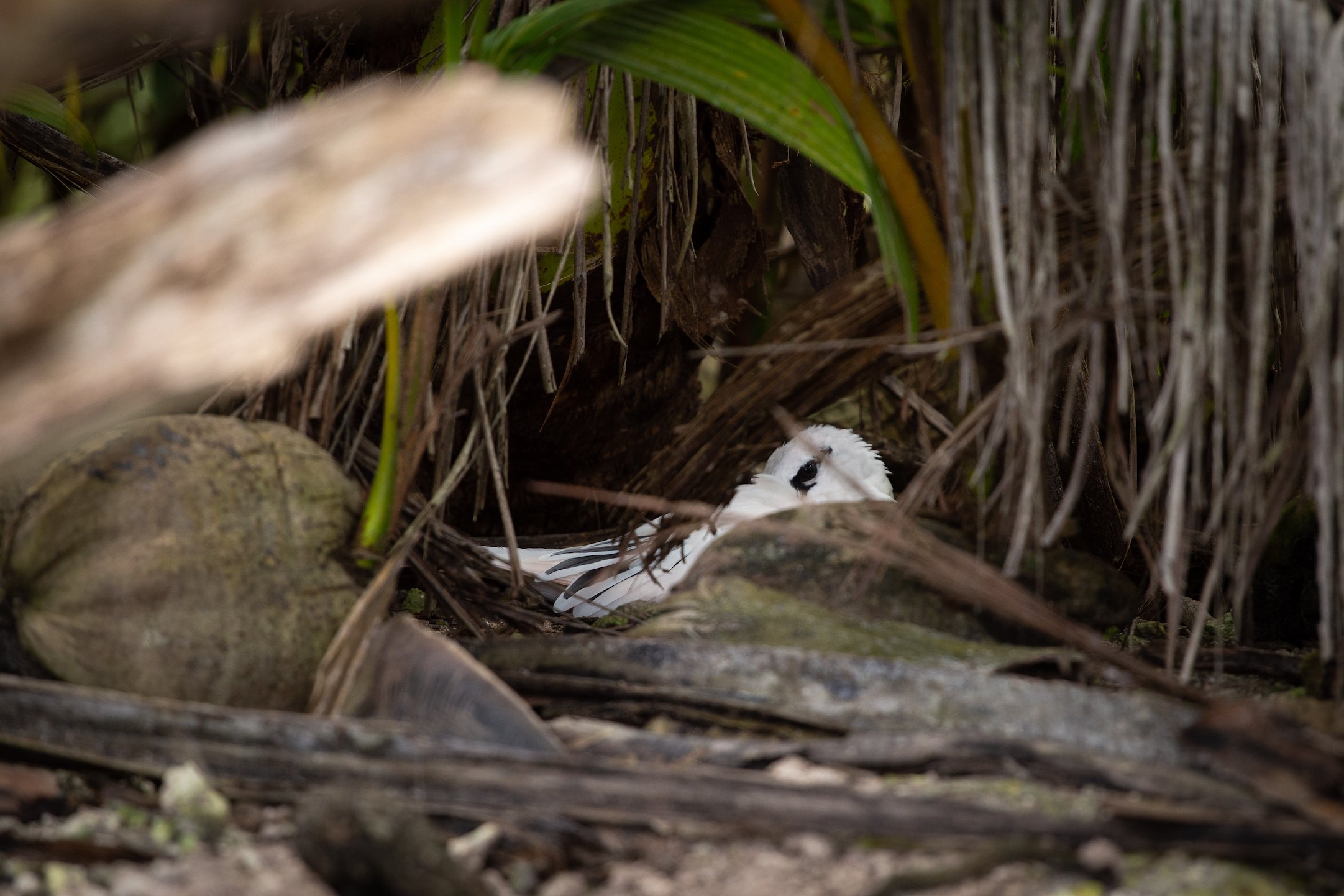
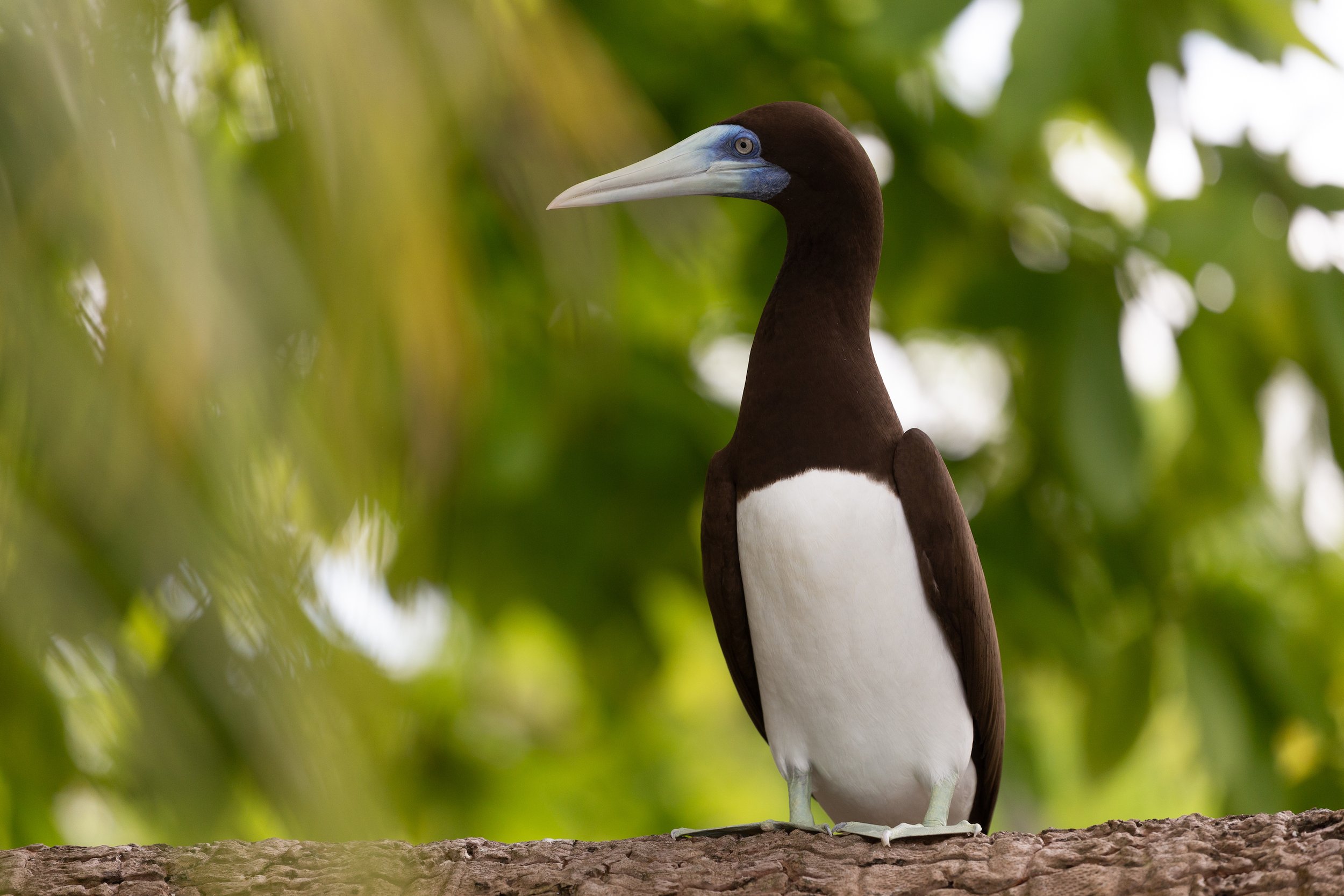
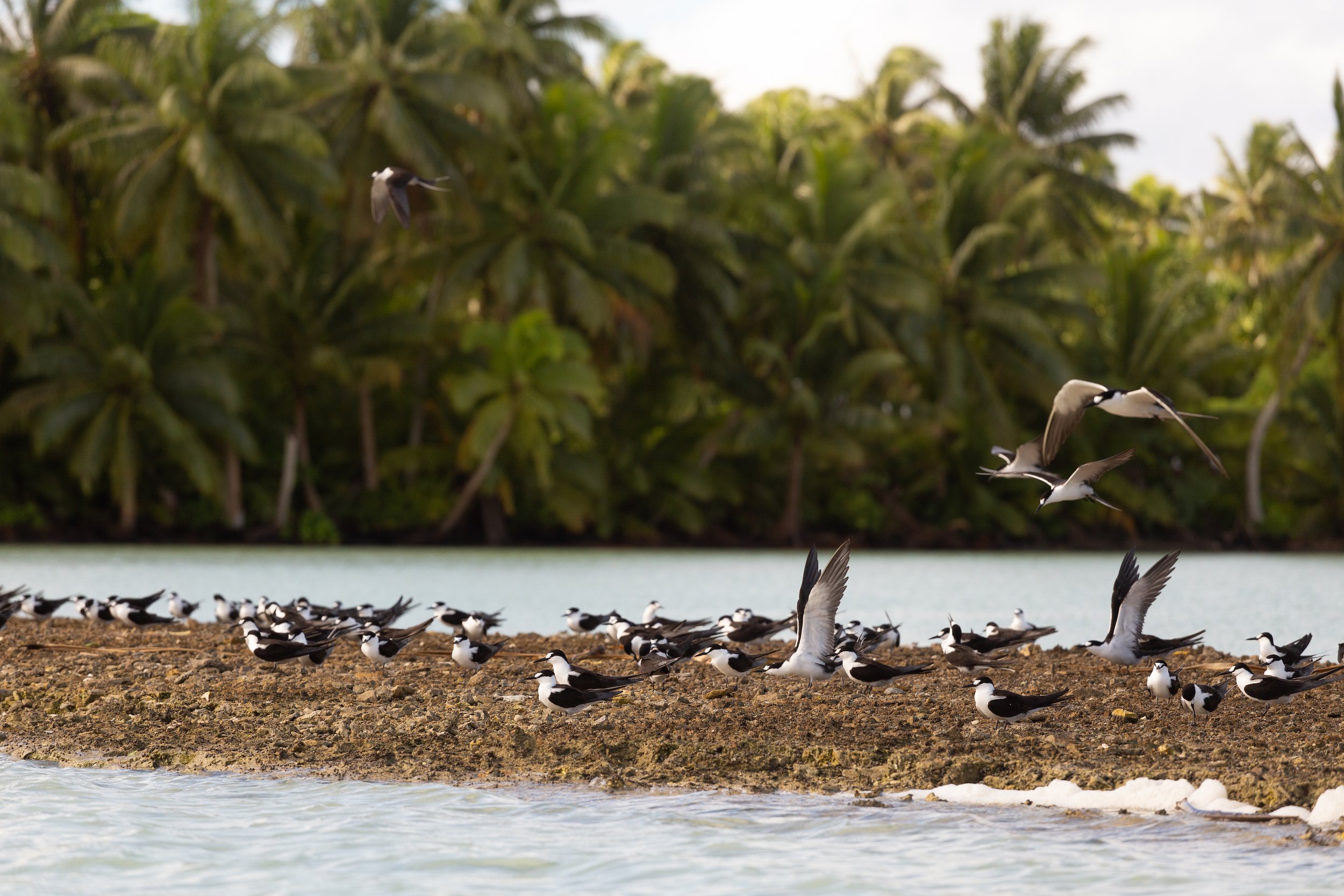
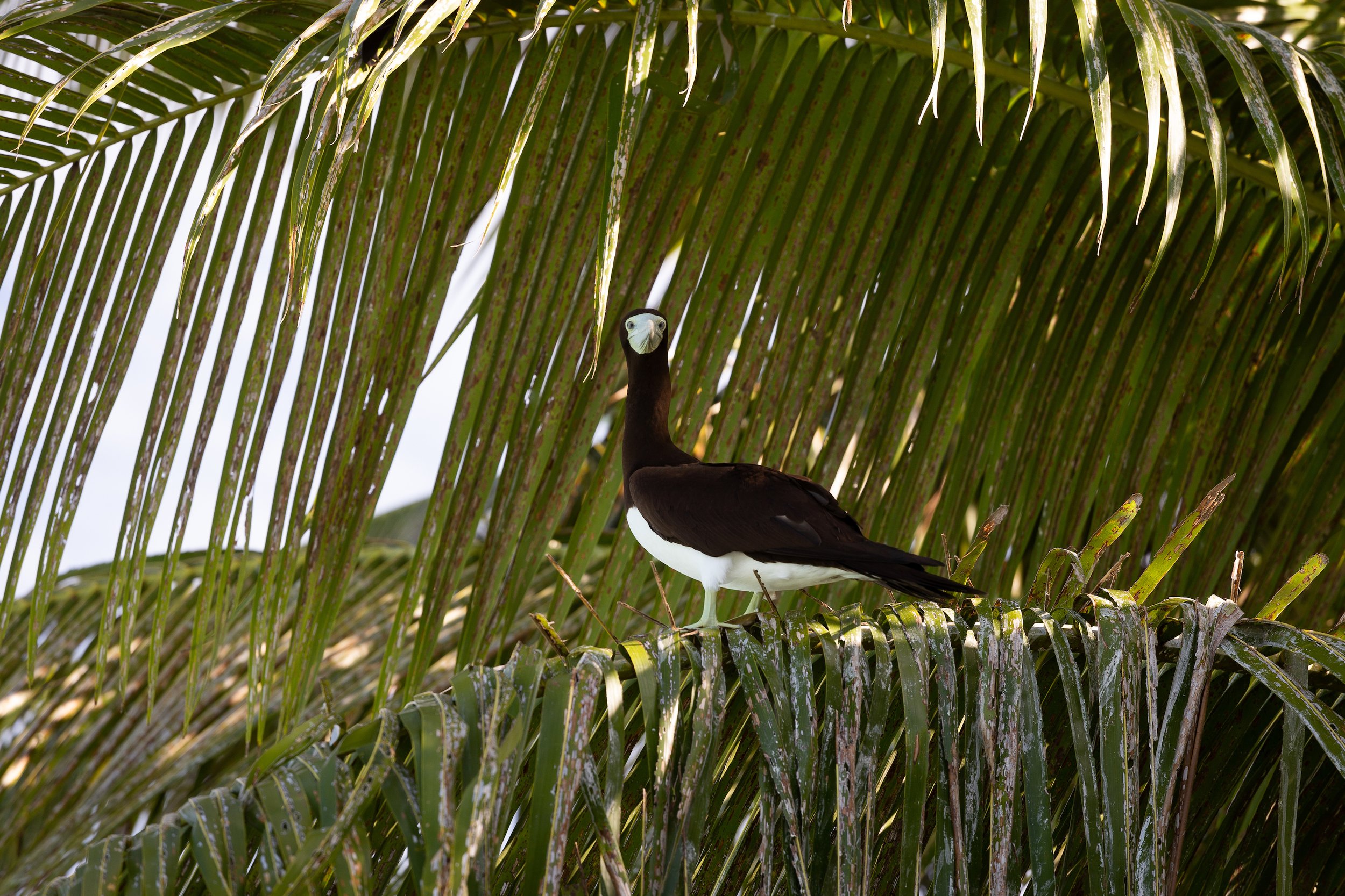
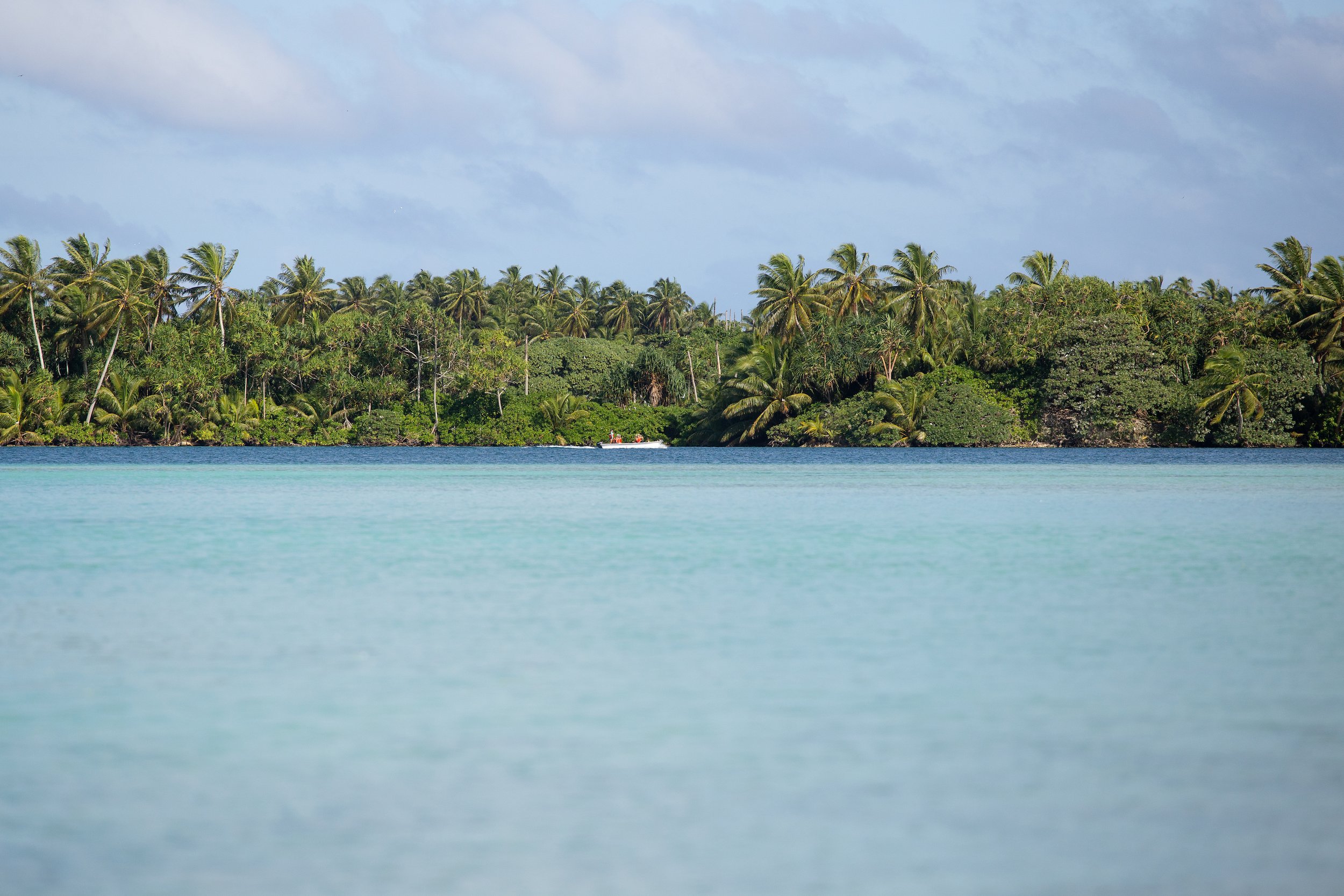
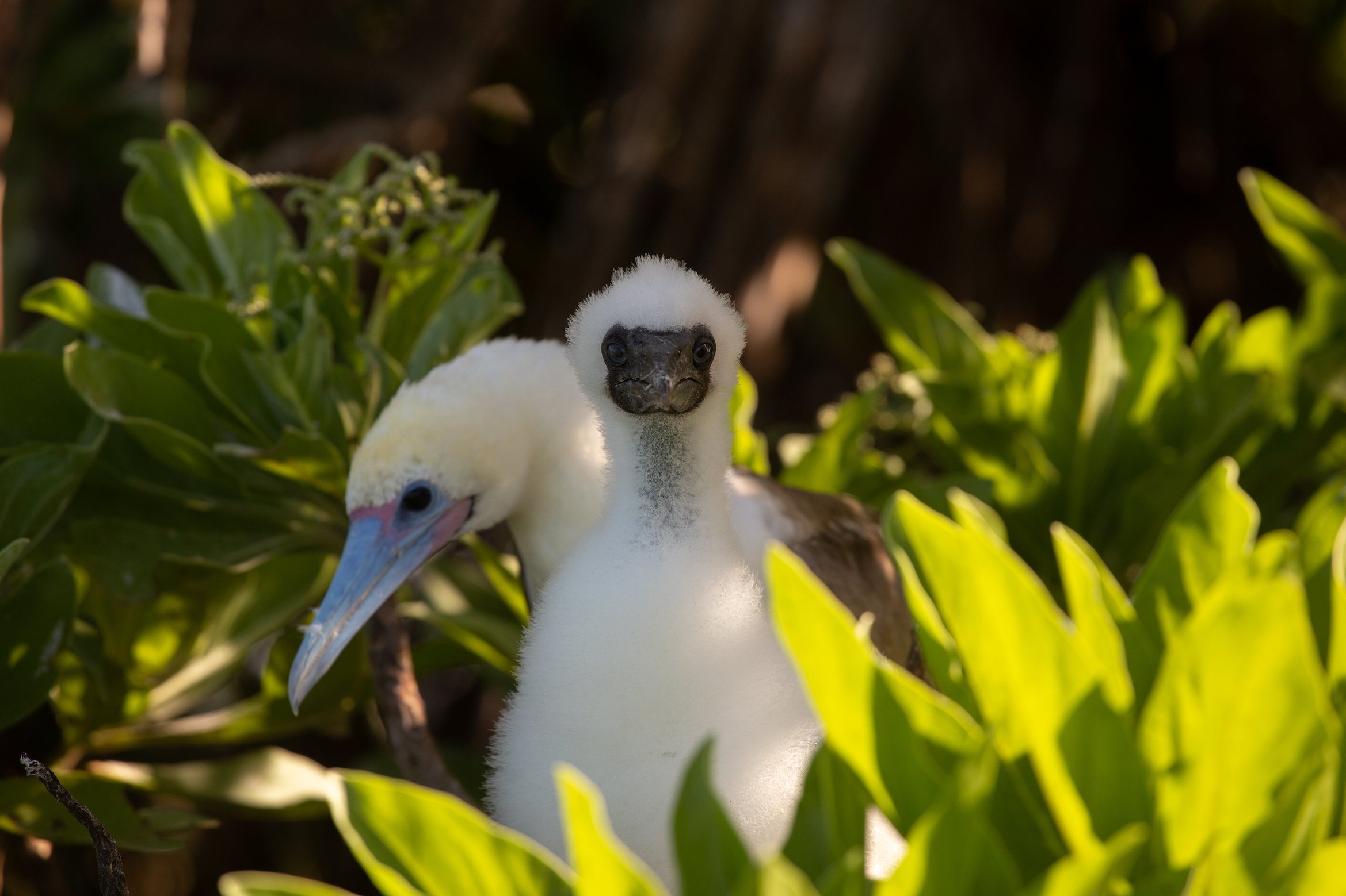
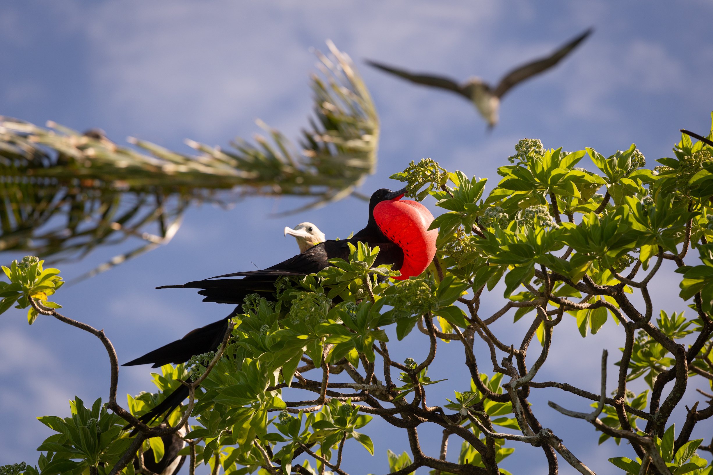
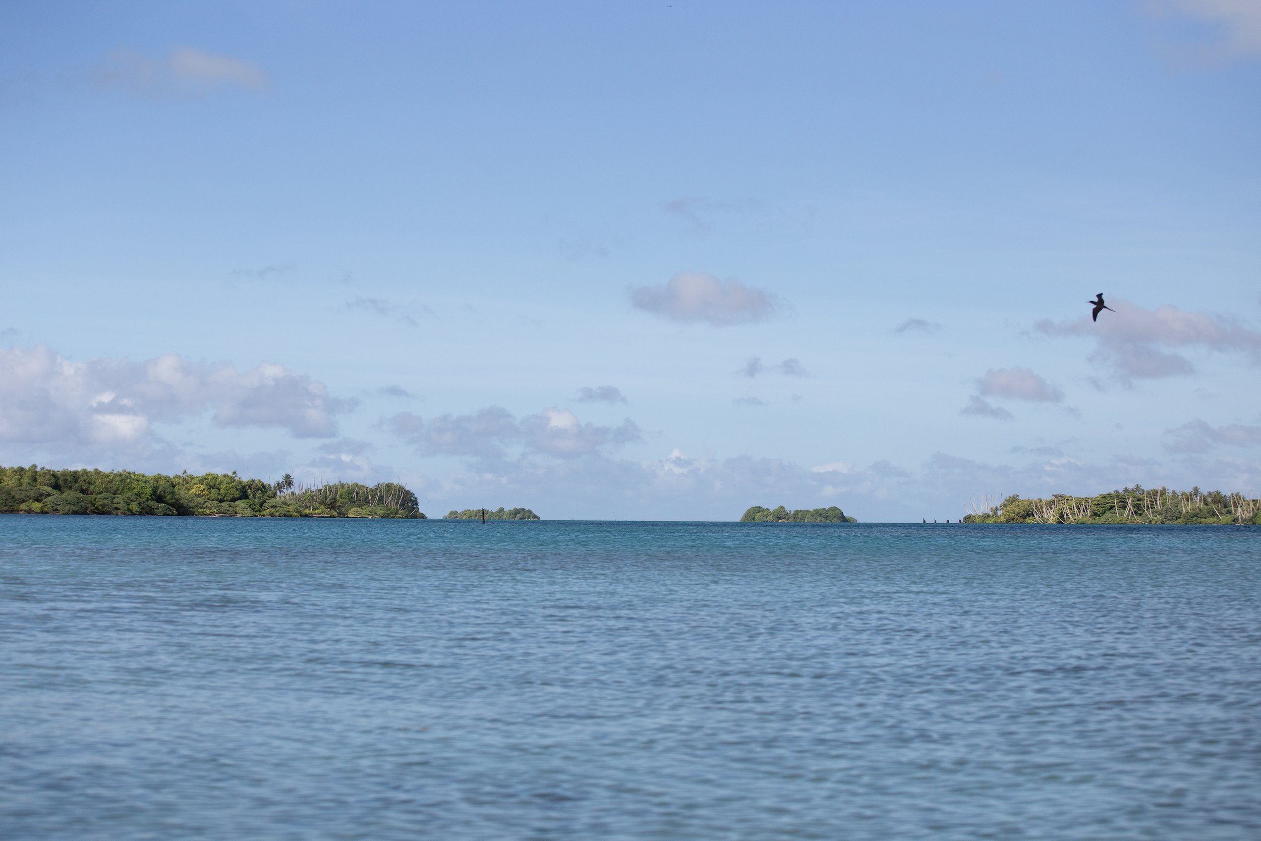
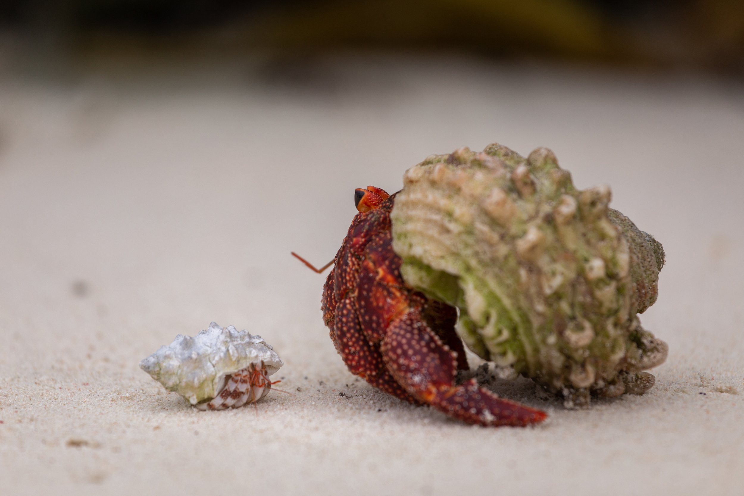
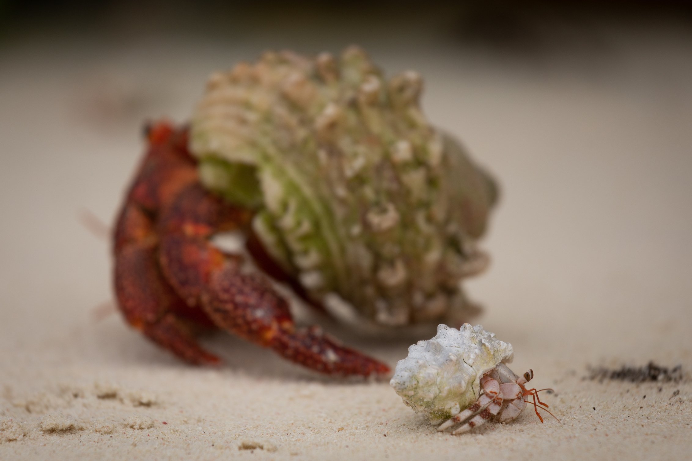
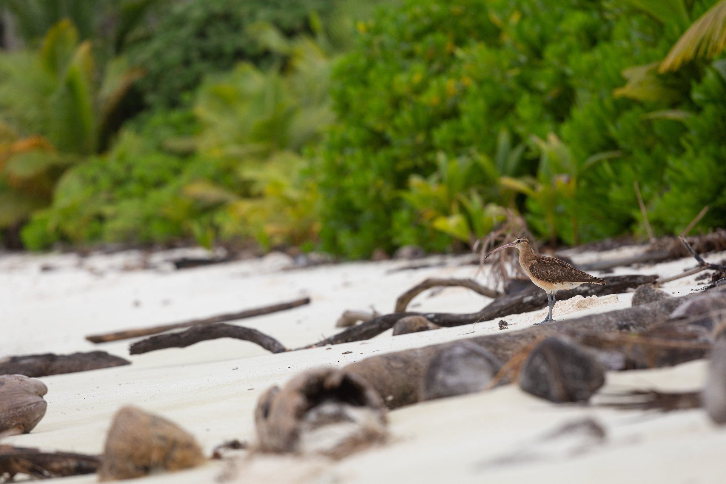
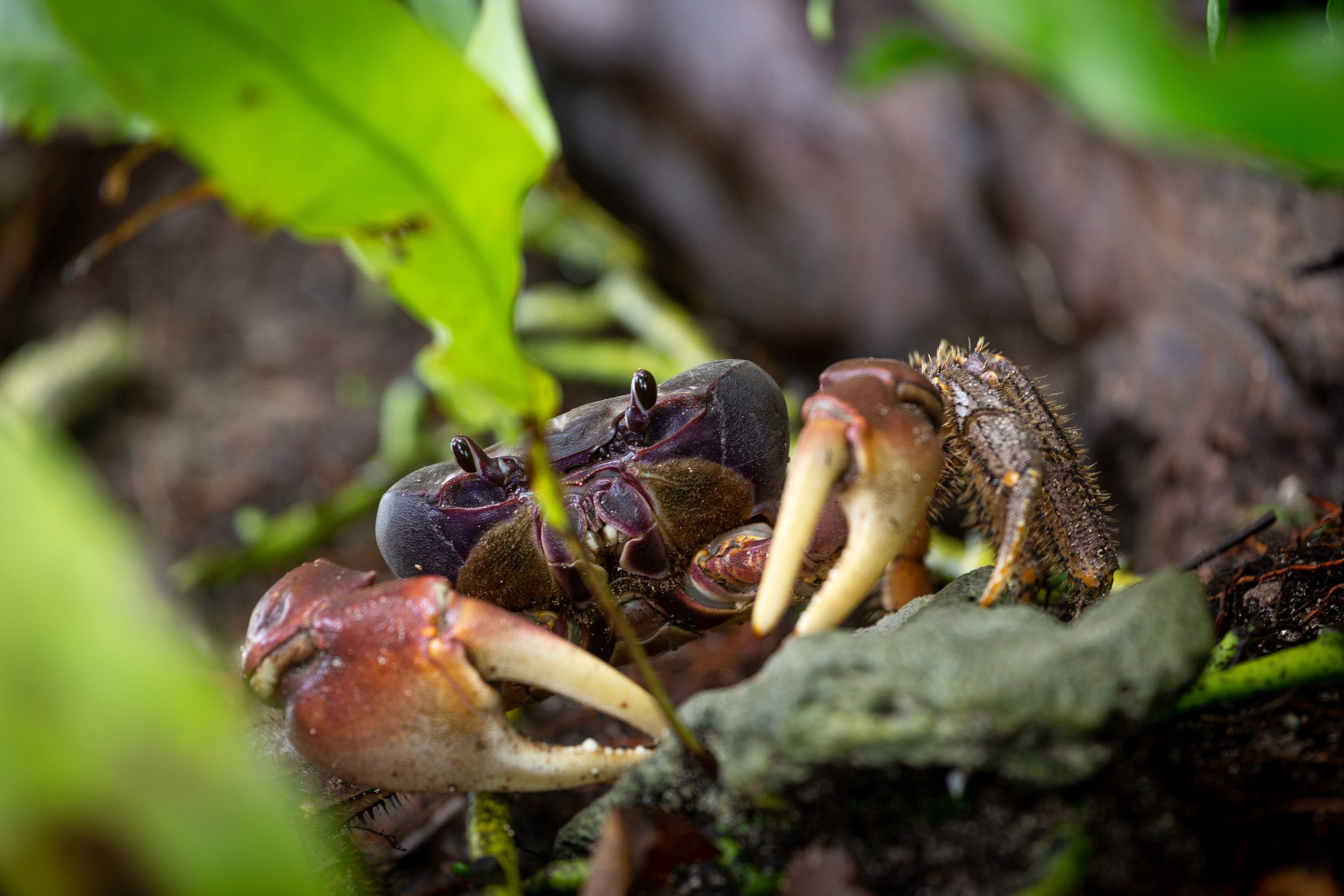
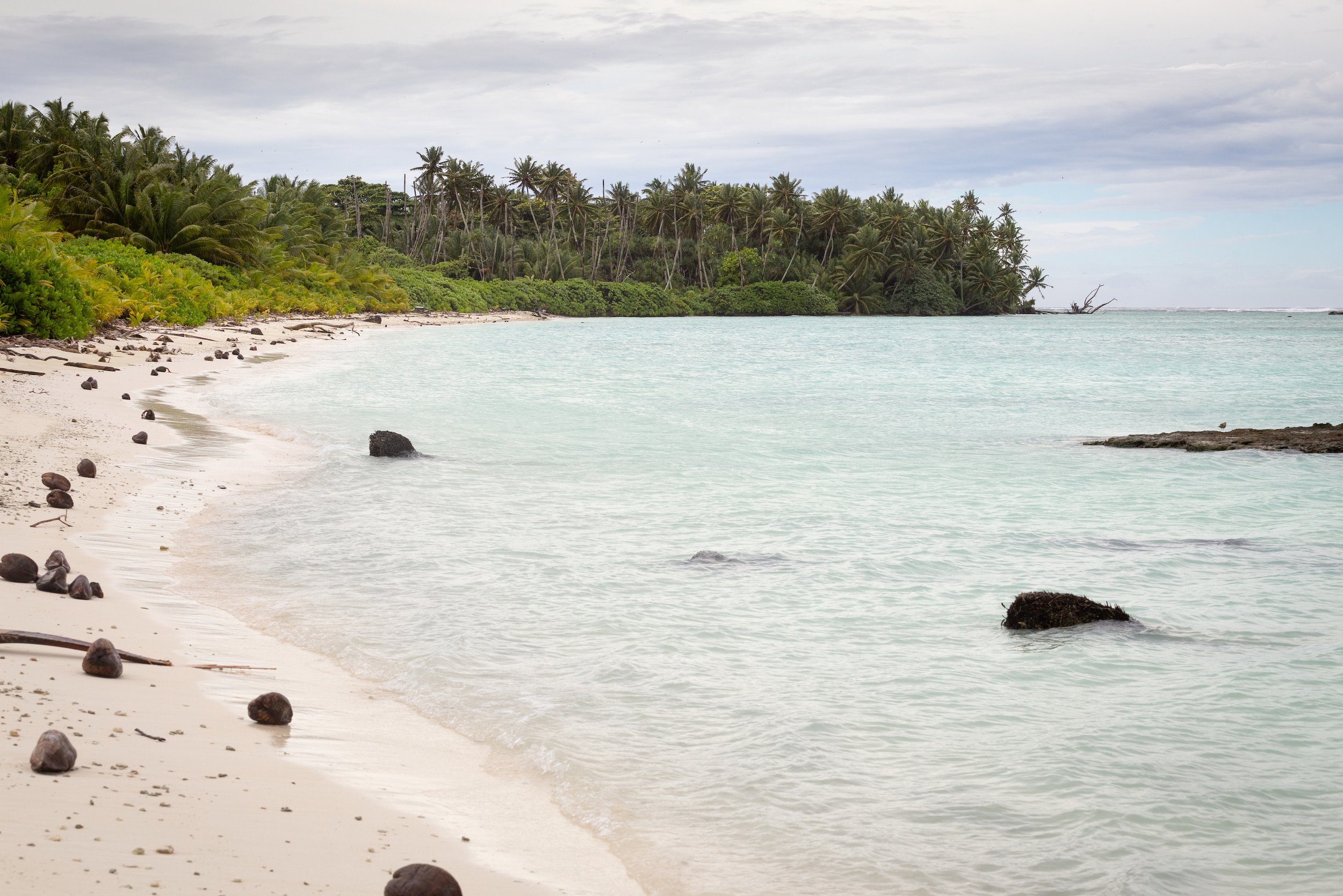
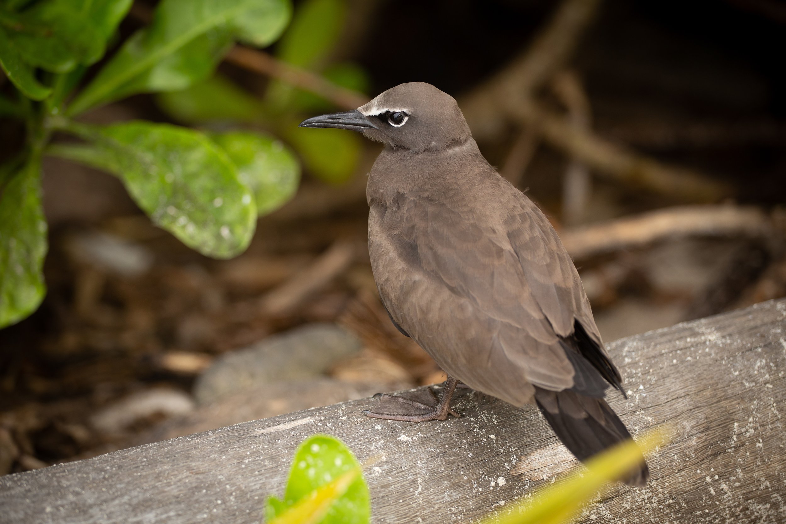
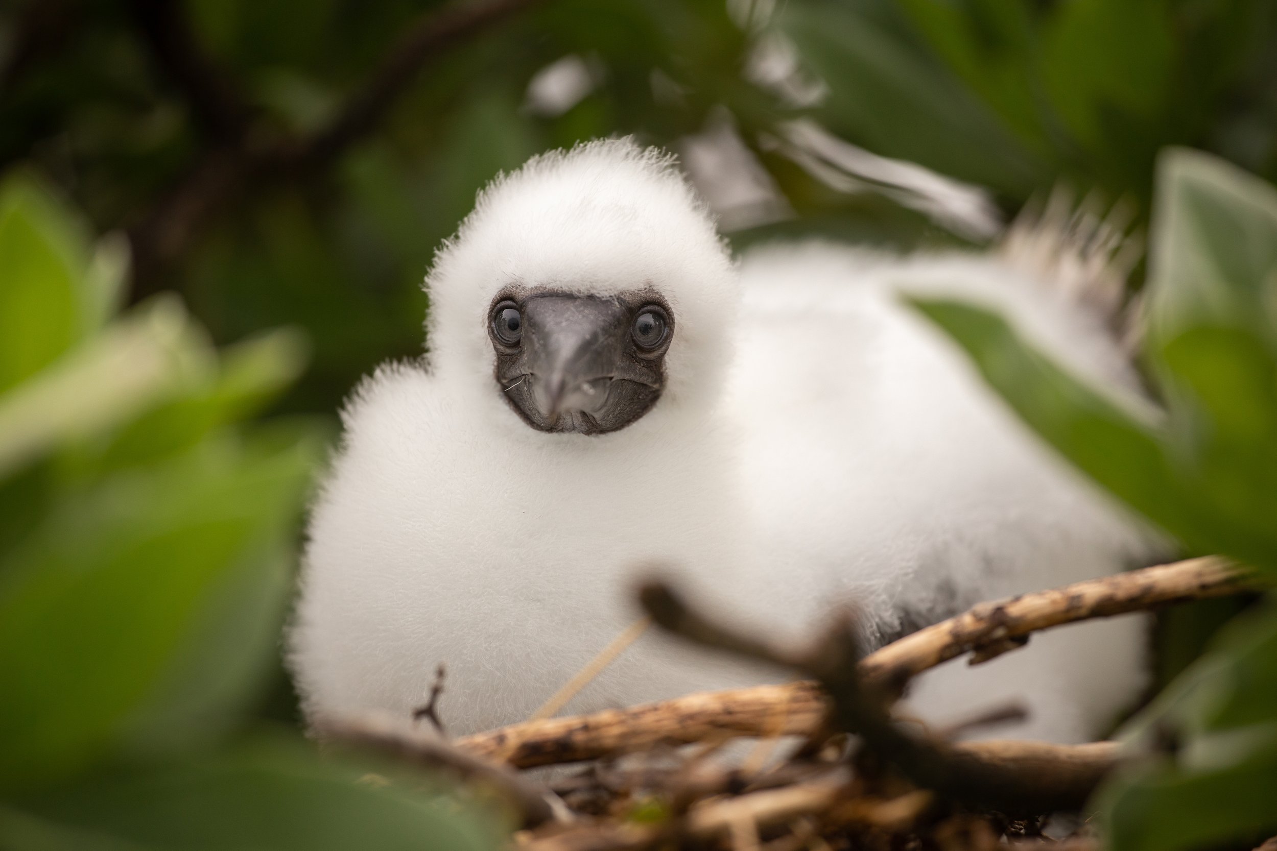
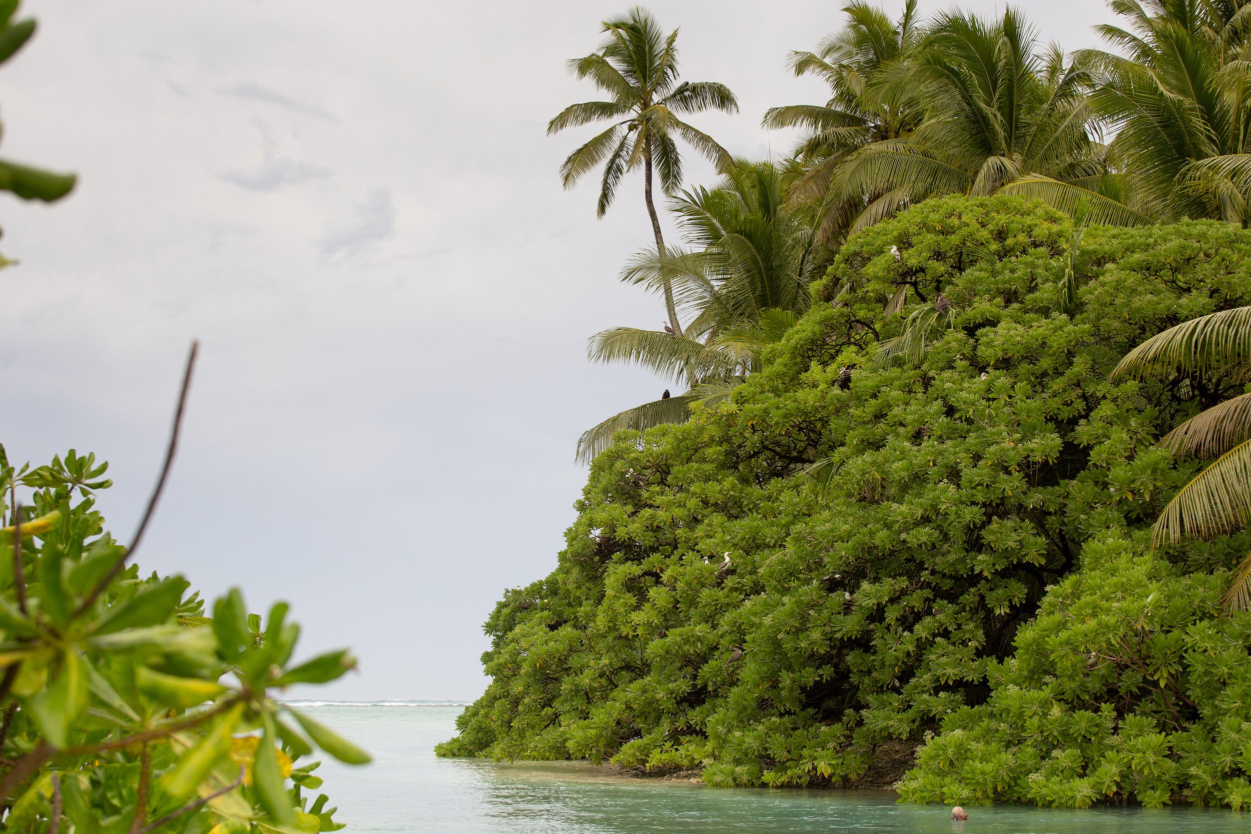
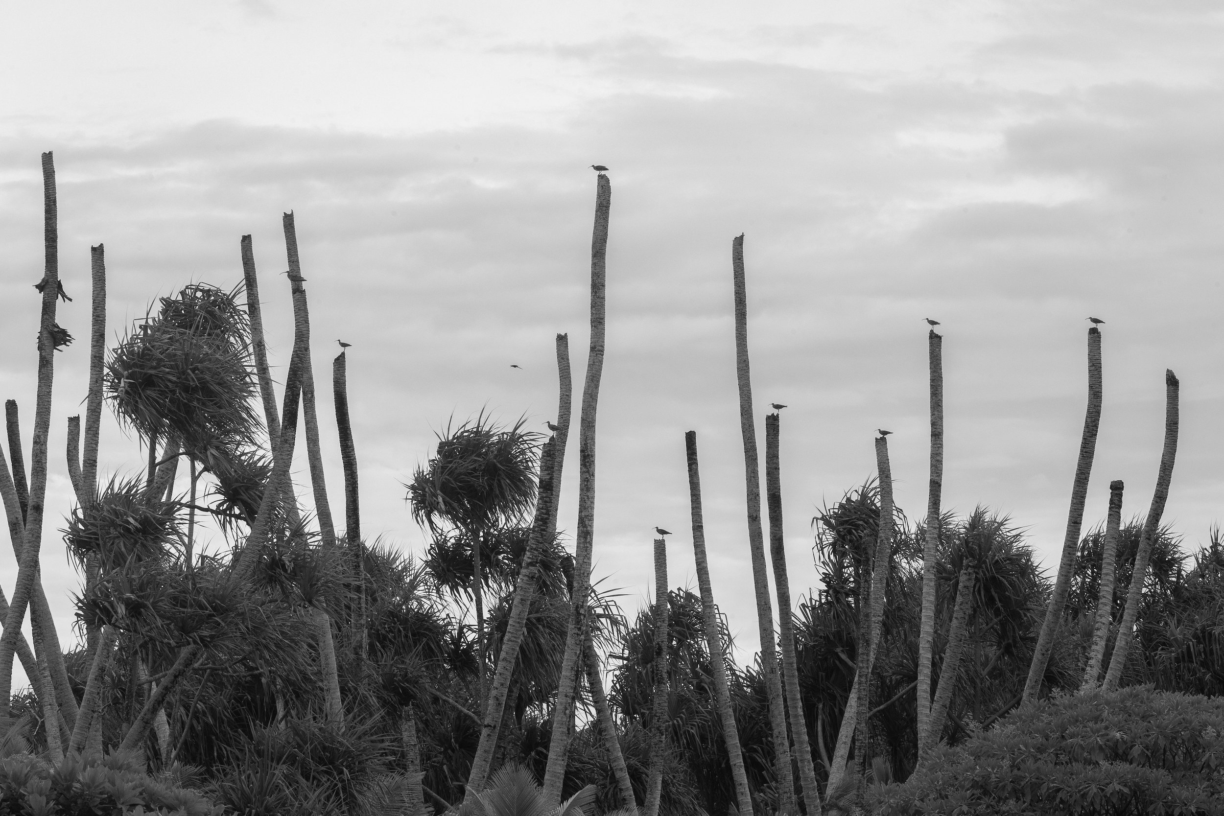
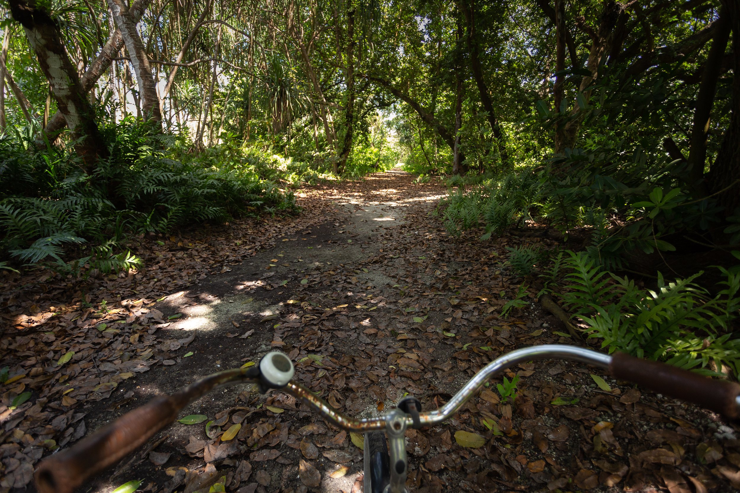
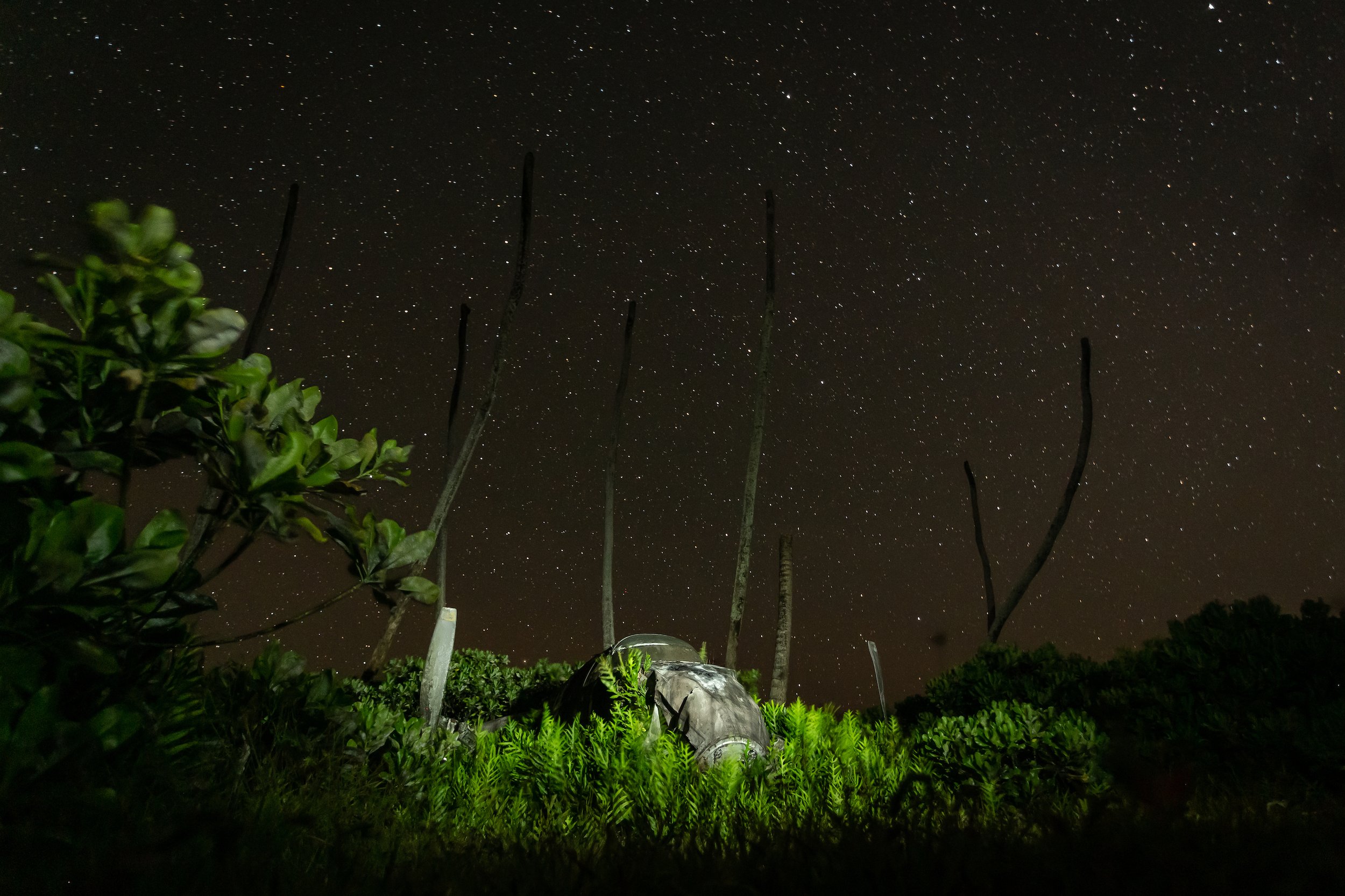
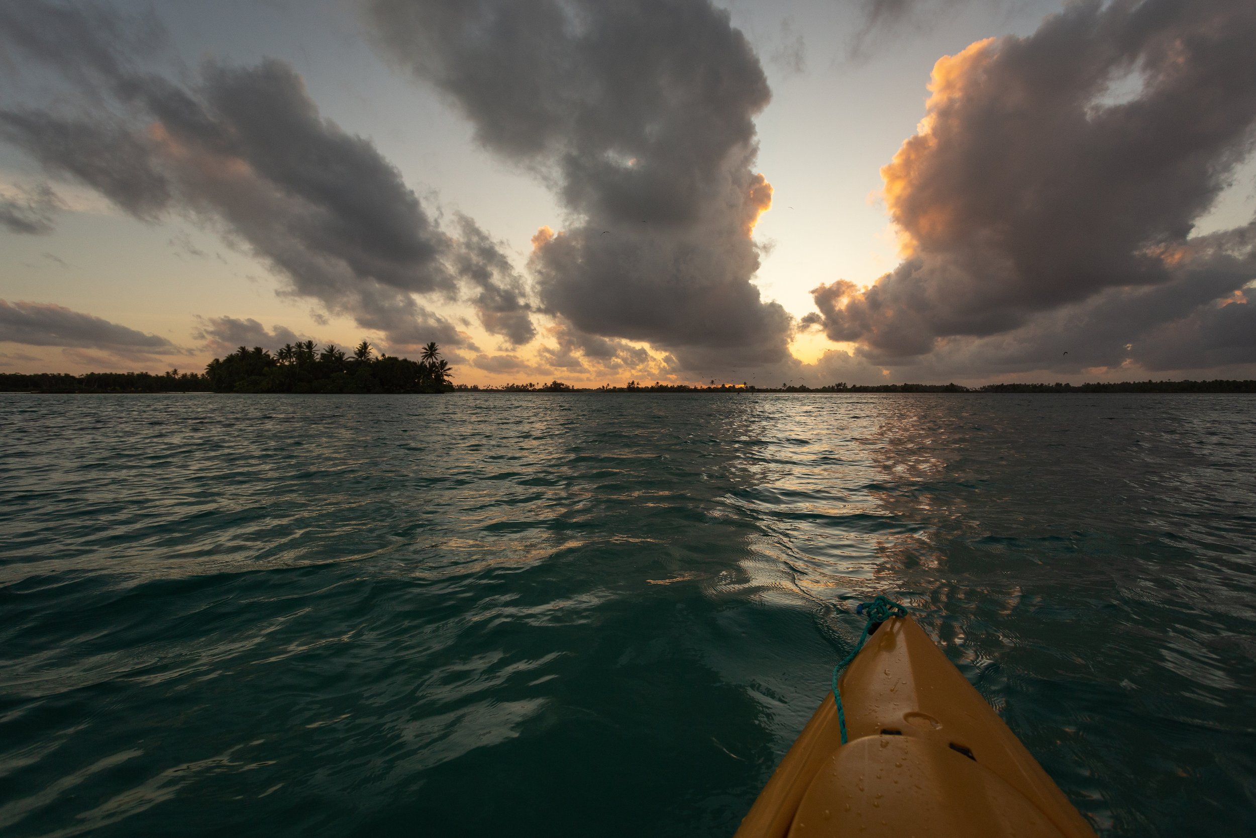
I’ve recently returned from a month on Palmyra Atoll, a collection of small islands rimmed by an extensive reef system located basically at the geographic center of the Pacific Ocean. I was helping capture red-footed and masked boobies for a movement study, where we attached small devices for short 2-day periods to collect GPS, accelerometer, and video footage while birds were out foraging at sea. Writer’s block continues, so here are some photos I grabbed during my free time to sum up the trip.

We're all getting older by Michael Johns

POL small.jpg

There are approximately 500 wooden boxes (shown with a rock on top in the photo) scattered around on Southeast Farallon Island that are used as nesting habitat by Cassin’s auklets, the small seabird I’m holding in the photo. These boxes have been checked every year since 1982, where pairs of auklets using each box can be identified by a uniquely numbered metal band placed on the right leg. Some of the auklets that recruit into these boxes were banded as chicks, allowing us to track age-specific patterns of behavior, reproduction, and mortality. The bird in my hand is the oldest known-age individual currently breeding in the followed nest boxes, a female based on bill depth measurements with the band # 131319997. She received this band as a fledgling when I was still in high school back in 2001, first started breeding at age 3, and has produced 16 offspring with 3 different mates so far in her long life. We discovered her incubating a fresh new egg this year in box 212 with a new mate. At age 19, she is nearing the end of her life, and time will tell whether she manages to survive this winter to breed again next year.

This figure shows all of the known-age birds breeding in the boxed population this year. Dark grey squares at the top show the hatch year of each bird (band #’s along the x-axis), gaps are years where they were not detected, and colors show the type of breeding attempt numbered by how many chicks were fledged each year. Cassin’s auklets lay a single egg per clutch (blue squares), will relay if the initial attempt fails (yellow), and occasionally double brood (lay another egg) after they fledge their first chick (pink). Auklets can recruit as early as age 3 and live to be up to 23 years old. Most birds don’t live into old age, but a few like 131319997 surpass all expectations. Click HERE for a full resolution image.

Auklet Family Tree by Michael Johns

Part of the basic seabird monitoring work we do on the Farallones involves tracking the reproductive history and lifespan of Cassin’s auklets that were given uniquely marked metal leg bands as chicks. Just over 400 wooden nest boxes were installed across the island in 1983, which mimic the natural burrows used by the auklets, and birds quickly started breeding in them. Over the past 35 years, each box that contained a known-age pair was checked every 5 days to note when an egg was laid, whether or not that egg hatched, and whether or not the chick reached fledgling age. Some of these chicks from known parents recruited into their own nest boxes and started breeding, resulting in multiple generations of birds all within close proximately to each other. Above is a family tree created with the kinship2 package in R, showing the largest pedigree in the known-age dataset that spans 6 generations from 1987 up until 2018. Click HERE for a higher resolution version.

Bill Load of Fish by Michael Johns

This animation represents the total number of prey delivered by common murre parents to awaiting chicks during a 14-hour diet watch. Each red dot depicts a single breeding site in one of our followed study plots on Southeast Farallon Island. Circles appear when a fish is delivered, and intensify in color as more fish are brought in throughout the day. Common murres deliver a single item after each foraging trip, the size and species of which are identified by Point Blue field scientists as birds fly into their respective sites. On this particular day in 2016, foraging parents were bringing in predominately anchovy, followed by juvenile rockfish and a mix of less common items such as squid, smelt, flatfish, and juvenile salmon.

Kilowatt Plot by Michael Johns

Kilowatt hour (kWh) is the standard unit of energy consumption, equivalent to 1000 watts per hour. For example an electric oven that consumed 1000 watts in an hour, or 100 watt heater that ran for 10 hours, both used 1 kWh of energy. On average, according to the US Energy Information Administration, an American household consumes just over 850 kWh per month. Looking at this plot, where each blue dot represents total kWh used each month, even in the dead of winter here in Alaska Casey and I stay well under the national average. Of course we don’t have an kids, don’t have air conditioning, and live in a small 800 square foot cabin heated by burning oil. Still, temperatures regularly dip below -10F in the winter, and we have to do things like plug in our cars to keep the engine oil warm, so I think we’re doing alright. Just for fun, I fit a simple linear model to our monthly energy consumption, which takes into account average monthly low temperature, day length on the 15th of each month, and number of days per billing cycle. The model (yellow line with shaded confidence region) predicts our monthly usage pretty well, tracking lower consumption during the longer warmer days of summer, and higher consumption during longer colder nights of winter. Of course the model isn’t perfect, but something odd did happen during the months leading up to 2017. A mystery that has yet to be solved.
Seabird Sizes by Michael Johns

This figure depicts the relative sizes of seabirds that breed on the Farallon Islands. Larger circles mean more massive birds, smaller circles less massive. Species in the order Pelecaniformes, colored in shades of blue, are among the largest birds that breed on the island. The Ashy Storm-petrel in yellow, although a part of the order Procellariiformes which includes some of the largest seabirds like albatrosses, is small enough to fit inside the palm of your hand. The diverse order Charadriiformes in shades of red includes all of the gulls and auks, the latter of which contains all of the wing-propelled pursuit divers like puffins, murres, guillemots, and auklets. Mass information was gathered from the Sibley guide to birds. This plot was made almost entirely in R, with a few minor tweaks made in Photoshop. A full size image can be downloaded HERE.

Make It An Animation by Michael Johns

Untitled1.gif

Sometimes, an animated figure tells the story better than a static one. We have been tracking the non-breeding movement patterns of Cassin’s auklets from Southeast Farallon Island since 2015, in an effort to understand the environmental drivers of their winter dispersal. Part of the work I’m doing for my PhD is linking the movements of auklets to remotely sensed conditions relevant to their foraging ecology, in the case of this animation chlorophyll-a concentration (left) and sea surface temperature (right) from November 2017 through January 2018. Chlorophyll, the photosynthetically active molecule that gives plants, algae, and certain types of bacteria their green pigment, is used as a measure of the concentration of phytoplankton. Krill, which comprises much of the Cassin's auklet diet, graze on phytoplankton, so it’s reasonable to assume productive areas with high concentrations of chlorophyll-a likely contain greater densities of krill than areas of low chlorophyll-a. Similarly, lower sea surface temperatures are generally associated with nutrient rich cold water from depth, which help spark blooms of phytoplankton. One hypothesis, visualized with this animation, is that Cassin’s auklets are searching for colder regions of higher productivity during the winter months. The next step is to test this hypothesis with a series of competing models, to see which best explains the patterns observed in the data.

Visualizing Long-term Data by Michael Johns

Point Blue Conservation Science has amassed an impressive long-term dataset on the breeding histories of known-age Cassin's auklets on Southeast Farallon Island. These data are visualized in the figure above. The dedication to maintaining and checking 400+ artificial nest boxes every 5-days for the past 34 years has allowed researchers to reveal some unique patterns in the life history of this small seabird. For example, Cassin's auklets are the only member of the taxonomic Alcid family to attempt two complete broods in a single breeding season, known as double brooding. In a recent study published in the journal Proceedings of the Royal Society B, my colleagues and I used these data to examine how double brooding impacts future reproductive potential and survival for birds that attempt such a behavior multiple times over the course of their lives. It turns out that so called "repeat double brooders" represent a subset of high quality individuals that can offset the short-term costs of increased reproductive effort, living well into old age and producing more offspring than birds that never double brood. Visit the publisher’s website by clicking HERE

Winter Movements by Michael Johns

After several years of geolocator tagging work (see image below), we finally have enough information to begin to paint a better picture of the non-breeding winter distribution of Cassin's auklets from Southeast Farallon Island. At the start of any research project, the most important first step in the analysis process is to visualize the data. The idea behind this visualization was to depict three key environmental characteristics of the auklet's winter habitat in a single plot; sea surface temperature (SST), depth, and distance from island. SST will be used as a proxy for productivity, as colder water in this region is generally associated with nutrient rich upwelling processes, depth to characterize the preferred ocean zone (shallow shelf, steep slope, or deep abyssal plain), and distance from island to explore the possible limits of their dispersal. 

Glancing at this plot, you can see by October birds are fairly spread out between 45°N (dark purple colors - Northern California area) and roughly 33°N (orange colors - Southern California). They are also exposed to quite a range of SST, from 14°C up to nearly 22°C. By late January, all of the birds are relatively close to the island (small bubble size) and experiencing roughly the same SST, before spreading out again in late February, with most birds staying at around 35°N. The 2015-16 season was a particularly warm year for SST, which my explain why only birds in the northern reaches were finding water colder than 14°C. The next step in this exploratory process is to look at auklet movements during the 2016-17 and 2017-18 seasons, which were moderate to average years for SST in the eastern north Pacific. Ultimately, these and possibly additional environmental covariates will be used to model the winter habitat use of Cassin's auklets off the California Coast. 

Note the geolocator tag on the left leg of this Cassin's auklet. Geolocators are devices which record ambient light levels that are later used to estimate latitude and longitude. 

Tagging data courtesy of a partnership between Point Blue Conservation Science and the USFWS. Remotely sensed environmental data were downloaded from the NOAA repository https://coastwatch.pfeg.noaa.gov/erddap. This plot was created in R with the ggplot2 package. 

Relative Size by Michael Johns

Probably the most important question in the conservation work that we do, and the most popular question people have about the Farallones, is the population size of the various seabird species on the island. The answer, such as roughly 250,000 murres, 20,000 auklets, and 500 puffins, may not be fully appreciated when taken at face value. The figure above is an attempt to put these numbers into context by representing each population as a collection of boxes, where the area of each box is scaled in proportion to the other boxes. With this visualization, you can see just how abundant Common Murres are in relation to Pigeon Guillemots or Tufted Puffins. With continued monitoring and management, hopefully all of these boxes will continue to grow in size.

Data courtesy of a partnership between Point Blue Conservation Science and the USFWS. The plot is called a "Treemap", created in R with the ggplot2 and treemapify packages. 

Visualizing Effort on SEFI by Michael Johns

As the name would suggest, long-term datasets take a long time to develop. Not only does it take a continuous supply of resources to support the work, someone has to physically go out every year and collect the data. To visualize the time investment and sheer number of people required to collect 50 years of seabird and marine mammal data, I designed this circular bar plot, illustrating the extreme commitment by some and small contributions by many over the years. It depicts the total number of days spent on Southeast Farallon Island (SEFI) by current and former staff and interns of PRBO (now Point Blue Conservation Science). Each concentric circle radiating from the map of SEFI in the center represents an additional 500 days of service, with Pete Warzybok in the lead at over 2,000 days! To keep the plot from getting too cramped, I narrowed the number of names displayed to just partial or full PRBO associates with more than two months spent on island, so this plot excludes many more island residents affiliated with various agencies, contracts, and universities, as well as people with brief stints – sorry if that applies to you. The graphic was created entirely with the ggplot2 package in R, aside from the border and line below the title that were added later in Photoshop. A high resolution 16 x 20 .png file of the graphic can be downloaded here: DOWNLOAD FILE 

Data Into Art by Michael Johns

R is an open source statistical computing and graphics platform, where tasks are implemented through a coding language entered by the user. The flexibility of R is limited only by the collective ability of its community of users to dream up new functions and functionality; which means its potential is basically limitless. It has become the environment for researchers to carry out statistical analyses and produce publication-ready figures. 

Inspired by some cool new plots floating around the internet that mimic Joy Division's "Unknown Pleasures" 1979 album cover, I created the above image of Southeast Farallon Island using a new R package developed to better visualize changes in distributions over time. The image depicting the the change in elevation across a range on longitude for each line of latitude was produced with the packages ggplot2 and ggridges, using a dataset containing elevation information of the island at equally spaced points of lat and long. An example of using R for more than just stats and figures, creating something that could even pass for art. 

Download this .asc file and use this code to recreate the above image in R. 

Here's another way of looking at the same dataset using geom_polygon in ggplot2, where each polygon is colored by latitude. This shows the vertical relief of the island from the perspective of the waterline, looking north. The tallest peak at just over 100 meters is the top of Lighthouse Hill. The second largest at just below 75 meters is Maintop, which is separated from the main island by a very narrow channel. 

Winter Solstice in Fairbanks by Michael Johns

It has been a long dark winter here in Fairbanks, and now that the winter solstice has passed, we can slowly watch the sun reappear from the south. The winter solstice, as we know, is the shortest day of the year here in the Northern Hemisphere. For those of use near the Arctic Circle, the total day length during the winter solstice maxes out at just over 3 hours and 40 minutes...not much sun to work with. Day is a relative term during this time in Fairbanks, as the sun barely peeks above the Alaska Range before dipping back down again, essentially 3 hours and 40 minutes of a merged sunrise and set. 

Tern-niversary by Michael Johns

Today is the 5-year anniversary of the great microburst of 2012, a brief yet destructive meteorological phenomenon that effectively put an end to a remote long-term seabird monitoring camp on Tern Island in French Frigate Shoals. This event also prematurely ended my scheduled six month deployment as a field tech on this tiny island in the middle of the Pacific. I wrote about my experience of the great storm back in 2012, and decided to repost the old blog here. The following is my account of that day, along with some grammatical fixes and updated photos.

Sunday December 9th, 4:30 AM:

I awoke as I always did around 4:30 in the morning to start the day. It was muggy and warm when I went to bed so I left my windows open to get some breeze. It had apparently rained throughout the night, slightly flooding my room. I normally got up this early to use the unlimited download time we were given for the internet (from midnight to 6am), but it had been down the night before, and I wasn’t sure if I wanted to bother getting out of bed to test it. But the lightning outside was pretty cool, and a cup of coffee sounded really good, so I got up anyway. The lightning was indeed amazing; it was like storms I had seen visiting my brother in Alabama, the sky lit up like a dying light bulb blinking every few seconds. It kept going, never really producing any bolts, it just lit the clouds a brilliant purple hue. Although it was raining steadily, the direction the rain was falling kept the water off the porch, so I sat outside with my coffee in the warm morning air and photographed the lightning show. The wind was coming from the south, so I stayed relatively dry sitting in the lee of the building.

5:45 AM:

After watching the weather for a while, trying to catch the occasional lightning bolt, the wind abruptly swung from the south to the north, driving the rain straight onto the porch. At first it was tolerable, but then the rain grew heavier, getting me and my camera gear wet. I immediately took my tripod down and went back inside, and as I shut the front door to keep the rain out I noticed that the temperature had rapidly dropped at least ten degrees, like I was standing in front of an open freezer door. It got so cold I almost felt I could see my breath. I didn’t think much of it. I figured the cold front had just passed over us, explaining the shift in the wind and the sudden increase in rain.  Although this had never happened before, so I thought it noteworthy. In the meantime the lighting intensified, it was now producing proper bolts and very loud thunder, the storm was right on top of us. With nothing else to do I sat down at my computer in the radio room and gave the internet a shot. Amazingly, it worked enough for me to send an email out to Casey, bragging about how cool the lightning was and how monstrous the surf sounded.

Sometime around 6:00 AM:

I had just sent Casey an email, and was sitting at my computer thinking what I was going to write about the storm (I usually wrote up or edited a journal entry in the morning), when out of the blue the VHF radio on a shelf behind me started producing static, like the sound an analog TV makes when it’s not receiving a signal. I had never heard it do this before, I wasn't even aware the radio was on, so it startled me. With this and the extremely cold air minutes earlier, I began to worry that something was off. Then the sky just opened up and dumped the heaviest rain I had ever heard, as if the building was sitting beneath a massive waterfall. The radio kept chattering and the rest happened so fast it’s hard to describe. Like a shockwave the pressure in room grew so strong my ears started popping, and I began hearing a faint rumbling sound that swiftly grew louder. This was immediately followed by a swift blast of cold wind to the face, as if someone had just kicked open the emergency exit of a plane in mid flight. Books from the shelf behind me and pieces of debris started flying about the room, and I instinctively dove under the computer desk and covered my face. At this point the rumbling was all around me. It sounded like metal and wood were being run through a blender, lots of banging, cracking and screeching. It was the most violent sound I had ever heard. I had visions of the movie Twister playing in my head, dairy cows levitating and all, but I had no idea was going on and I thought for sure the whole building was falling down. I wondered if the Mayans had been right all along, the world was coming to an end (This was 2012 after all). I figured I was going to be buried in a pile of rubble when it was all over. The chaos lasted for about 5 seconds and then stopped. The rain, the wind, everything was calm again. I stayed under the desk, not knowing what was going on. Then I heard Morgan say from the hall, “where’s Mike?”, and at that point I got my first glimpse of the extent of the damage. Initially, I was shocked to see one of the interior walls and the door to the radio room had been knocked down, and the place was littered with soggy books and sheets of data.

Then I saw the common room. It was just after six now, still too early for the sun, and the whole building was dark. The lightning flashed and revealed all the walls were gone. It was such an eerie sight. Every time the lighting went off, where the entertainment center stood, the bookshelves, the chalkboard with our daily schedule, it was all just an open view of a tumultuous sea and a nasty sky. The wind was blowing salt spray and rain right through our dining area, chairs were strewn about the room, and the kitchen was covered with knives, pots and pans – it was a mess. The wind had been so strong it moved stoves in the kitchen, and blew a heavy freezer full of old video tapes clear through a wall and out the building. We had just rearranged the movie area, and set up the Christmas tree for the holidays, and it was now a massive pile of junk. Broken glass, bad novels, random debris had been blown out with the east walls, landing in a fan outside on top of albatrosses incubating eggs. The entire scene was a disaster.

Four rooms, including mine, had been completely blown out. It was a jungle of shattered drywall and mangled aluminum framing that had been ripped from their foundations. Fortunately I wasn’t in my room, and all other occupied rooms only received minor damage. The west end of the hallway was so mangled the last three rooms were inaccessible. One unused bed was buried under three different walls. If anyone had been sleeping there they would have been crushed. We really lucked out.

The damage was extensive. The boathouse looked like a bomb had gone off, the tractor shed had gaping holes in its concrete walls, there were many leaks in the plumbing, the solar panels were torn from the braces, radio antennas were stripped off the roof, six bedrooms, one office, two bathrooms, the laundry room, and all of the common room had their exterior walls blown out, and a few other structures including fuel storage units and a couple fiberglass boat hulls were scattered around the west portion of the island. We took a big hit, and it was all a major shock to witness.

Even more disturbing was searching for injured and buried birds. I can’t imagine what it must have been like for rescue workers on scene at the World Trade Centers or in Japan after the tsunami. It was very difficult seeing albatrosses, birds that I have been admiring for years, with broken wings and bloody necks stuck beneath sheets of wall panels. Some were killed instantly by projectiles, others were flattened on their nests, and many were simply limping around with mangled wings. Since the debris from our buildings had inflected the most damage to the wildlife, it was our responsibility to euthanize the suffering birds. Something I hope to never have to do again. The death count is as follows: 62 Brown Noddies, 97 Black Noddies, 10 White Terns, 17 Red-footed Boobies, 6 Great Frigatebirds, 1 Pacific Plover, 24 Laysan Albatross, and 22 Black-footed Albatross, for a total of 239 birds of which 79 were banded.

It’s amazing how selective these storms can be. You always hear stories about how tornados will completely disintegrate one home, and leave another only feet away untouched. The microburst we experienced only affected the west end of the island where all of our facilities stood. The east end of the island showed no signs of damage. It appeared every leaf and branch hadn’t even been rustled. The wind apparently stopped at the warehouse to the east, and was most intense near the boathouse to the west. As much as I can gather from Wikipedia, a microburst forms by the rapid evaporation of highly saturated air in a thunder head. As the mass of air evaporates, it cools. The sudden cooling forces the air mass to descend from the cloud, accelerating as it falls through the wet air below. When the air mass eventually collides with the ground it can reach speeds of 150 mph, leveling anything that stands in its way. At least that’s what I think happens. Either way the point is it gets very windy very fast, and causes intense localized destruction.

The storm carried on for three days. It was difficult to sleep the first night after the disaster. No longer did we trust the integrity of the building. We were convinced that the next big gust could blow the whole place down. The rooms in the north wing where we moved all of our valuables and beds were mostly intact, although the roofing had been compromised and new leaks had sprung open.  We were able to recover most of the archived data, although some had been saturated, and luckily all of our expensive computers and camera gear survived. My computer was covered in dirt and debris and had a desk lamp fall on the keyboard, but it still worked. We boarded up the kitchen and the exposed hallway, and somehow managed to recover the internet, although its functionality was limited. The solar panels were damaged, but remained intact enough to still charge the battery bank. Chad fixed the broken pipes in the plumbing and shunted all water to the north hall. We limped along for 10 days. In the meantime we piled all the wooden debris on the runway for a bonfire, and did what we could to secure all other lost items that might otherwise blow around and cause more injury to the birds.

Pacific Seabird Group 2017 by Michael Johns

The Pacific Seabird Group held its annual conference this past week in Tacoma Washington, tame in comparison to last year's venue on the North Shore of Oahu. Still, it was great to here about all the new and exciting research being carried out on seabirds in the face of a rapidly changing marine environment. Last year I presented preliminary results on the drivers of double brooding in Cassin's auklets, work that was recently published. This year I presented new preliminary results on the movement patterns of Cassin's auklets from Southeast Farallon Island, using archival light sensing tags called geolocators. This information will help inform conservation of this species by answering basic questions of winter habitat use and distribution, thus identifying areas of special importance and favorable conditions. Stay tuned for further results. 

Alaska Bird Conference, Cordova by Michael Johns

Every few years, researchers studying birds in Alaska gather for a small conference to share ideas and report on their findings. This year, the Alaska Bird Conference was held in Cordova, a sleepy fishing town tucked away in a remote arm of Prince William Sound. Noteworthy talks included a report on the recent mass die-off of common murres and subsequent near total breeding failure throughout the Gulf of Alaska and Bering Sea, and new evidence supporting a virus as the likely source of a deadly outbreak of beak deformities effecting black-capped chickadees and hundreds of other bird species across Alaska. My main reason for attending, aside from these talks and presenting the work I'm doing with Point Blue on Cassin's auklets, was to get away from the interior for a week and see the ocean again. 

Calculating Growth by Michael Johns

Figure 1. Noosa's predicted growth (blue line) as a function of her age. Polynomial equation derived from actual weight measurements (orange points) from 6 different vet visits throughout her development. 

The most popular question we get from people who meet our dog Noosa for the first time is, "She's huge for a puppy! How big will she get?". Since Noosa's is a mix of many different breeds, specifically Maremma, Saint Bernard, Newfoundland, Great Pyrenees, and Bernese Mountain Dog (see family photos below), we can't just look at examples of other dogs to gauge her final adult size. There's no doubt she'll be big, but just how remains a bit of a mystery? One way to estimate this is to use a model based on her observed weights to predict how much she might weigh in the future. A simple approach is to fit the observed values with a polynomial equation (Fig. 1), which doesn't perform well for ages less than 20 days old (negative weights), but fits the rest of the data pretty well. Another method would be to use more complex equations with additional terms, such as Von Bertalanffy model or some other growth equation. Either way, based on a simple polynomial fit, it looks like she will likely max out at just over 80 pounds; which is what we would expect based on her parental recipe. 

The mom

The dad (right)

NPRB 2016 Photography Contest by Michael Johns

The North Pacific Research Board (NPRB) consists of a group of advisory panels aimed at identifying and supporting research geared towards fisheries management and ecosystem health in Gulf of Alaska, Aleutian Islands, Bering Sea, and Arctic Ocean. They offer competitive graduate student awards of up to $25,000 for projects related to issues in these areas. NPRB also puts out an annual calendar showcasing photographs of field work and wildlife from marine environments throughout Alaska and Russia. Although I didn't receive the cash prize, my photo of a tufted puffin from St. Paul Island did made the honorable mention list. Visit www.nprb.org/nprb/annual-photo-contest/ to see the winning entries. 

Pacific Seabird Group by Michael Johns

This past February, I presented some preliminary results of my thesis work at the 43rd annual Pacific Seabird Group meeting on Oahu, Hawaii. I ran a series of logistic regression models in R to test the probability of second brooding in Cassin's auklets against a set of environmental and biological variables. I found that increased June upwelling strength, older female parents, and early lay dates best explained the variation in double brooding rates on Southeast Farallon Island. The poster I presented took home first place in the graduate student paper category.